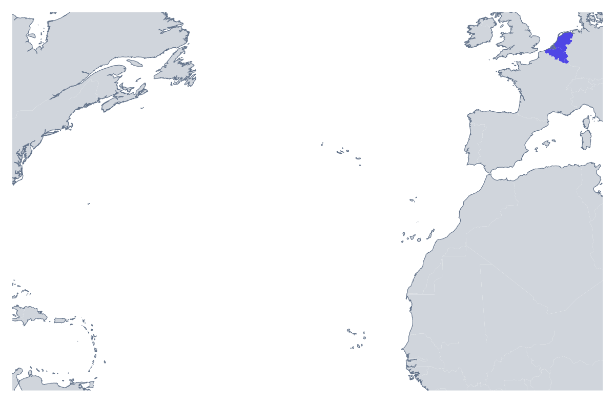
Blank map of Benelux
The outline, free as a PNG, SVG or PDF. Label it, colour it in or drop it into a slide.
Using a blank map of Benelux
Three countries make a manageable shape for a logo sketch, an inset on a larger slide or a leaflet for a trip. The page gives you Belgium, Luxembourg and the Netherlands as Outline only, a single piece of land, or With borders, with the three drawn apart. Each version is a PNG on a transparent background, an SVG or a PDF.
As a small inset
When a slide is about a store, an office or a delivery point, a small With borders PNG in the corner tells the audience which countries it concerns, without a full-size map. The same trick works in a newsletter or on a leaflet. The transparent background lets it sit on a coloured band.
On a leaflet or an order form
A small business can set With borders on a leaflet or an order form, with the countries it delivers to shaded and the rest left pale. The shapes carry no names, so the leaflet keeps its own wording, in your own font and language. A line of text under each shape is all it needs.
In a design tool
Open the SVG in Illustrator, Inkscape or Figma and give each country its own colour, or merge them into one shape for a badge or sticker. Because it is a vector, the same file serves for a business card and for a banner.
Which version
With borders is the political blank map of Benelux and the one to take whenever you need the countries apart. Outline only suits a decorative use where the three read as one. If you plan to print it, the printable map of Benelux has the colour and ink choices; for colours and names added on the page, use the editable map of Benelux.
How to do it in MapMaker
- Choose With borders for three separate countries, or Outline only for one shape.
- Download the PNG for a slide or leaflet, or the SVG for a design tool.
- Take PDF, A4 or PDF, Letter for a sheet to print as it stands.
- Choose Customise this map to add names, colours or a title, then download from the editor.
The 3 members on the map
A key for labelling the map by hand.
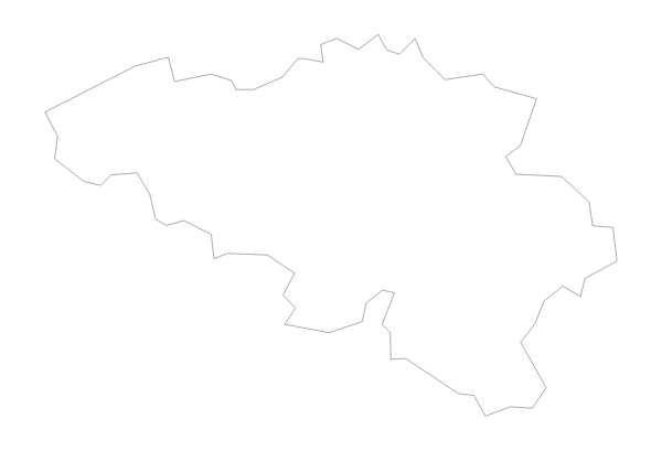
- Belgium
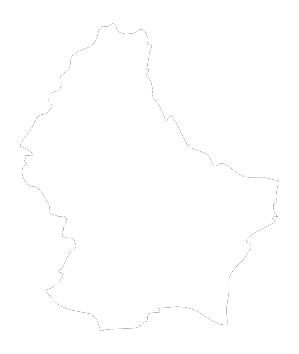
- Luxembourg
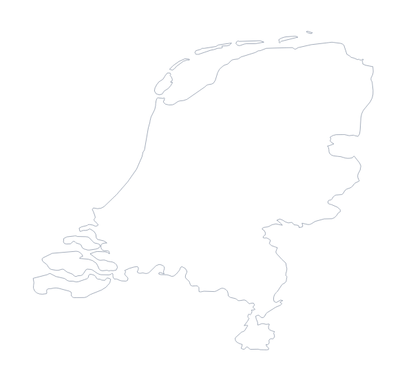
- Netherlands
Facts about Benelux
3 members are on the map. The members are Belgium, Luxembourg and Netherlands.
Maps of places in Benelux
Questions people ask
Is there a political blank map of Benelux?
Yes: the With borders version. It draws the borders between Belgium, Luxembourg and the Netherlands and puts no names on them, so each country is a shape to colour or label as you like.
What is the difference between Outline only and With borders?
Outline only is the land of the three countries as one shape, without the lines between them. With borders adds those lines so Belgium, Luxembourg and the Netherlands can be told apart.
Does the PNG have a transparent background?
Yes. Only the land is drawn, so the three countries sit directly on the colour of your slide, leaflet or web page. There is no white box around them to crop or hide.
Can I open the SVG in Illustrator, Inkscape or Figma?
Yes. The SVG is a vector file, so it opens in all three and scales to any size without blurring. In With borders, each country is a separate shape you can restyle.