Blank map of Luxembourg
The outline, free as a PNG, SVG or PDF. Label it, colour it in or drop it into a slide.
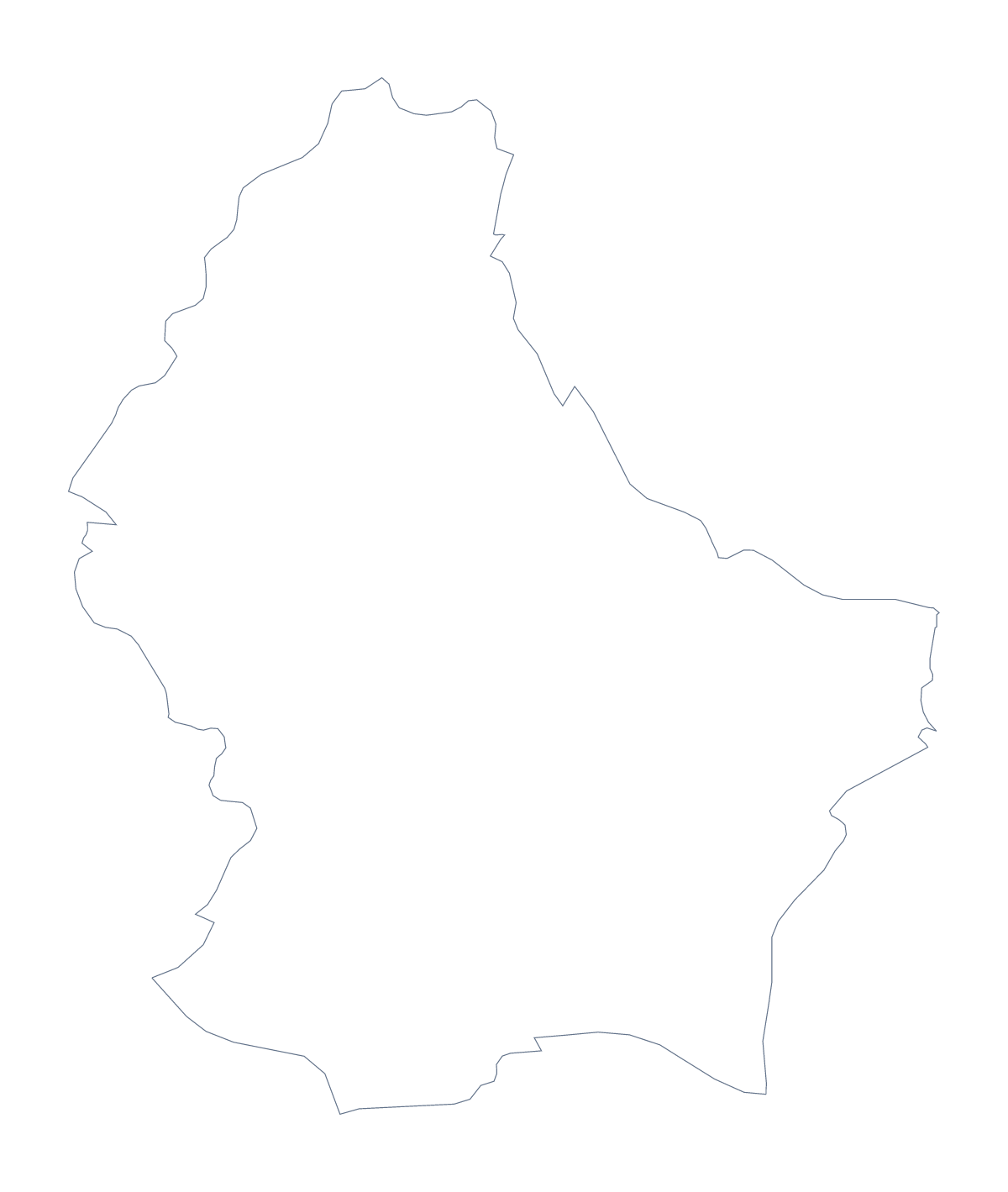
Using a blank map of Luxembourg
Luxembourg is small, so the useful question is what you put it on. Outline only gives the country as one shape, and With borders draws its 3 administrative areas. Each is a PNG with a transparent background, an SVG or a PDF for A4 or Letter, and neither version has names on it.
An inset or a cover
Use the PNG as an inset: a small Luxembourg beside a larger map on a slide, labelled with your own text. The SVG goes into Illustrator, Inkscape or Figma at any size, where a heavy line and a single colour make a tidy mark for an office, an event or a report cover.
Three areas on a slide
With borders gives three shapes, which suit a slide as well as a worksheet: put the PNG on the left and, on the right, three text boxes with the names Diekirch, Grevenmacher and Luxembourg. Fill one area at a time and ask the class which name goes with it. The list further down this page is the key. Keep the slide as a template and the same three shapes serve a new class each term. A younger group can trace the shape onto thin paper and cut it out for a display.
Which version
The political blank map of Luxembourg is the With borders version. Choose Outline only for a silhouette, such as a logo sketch. When you need names, pins or colours, Customise this map opens the same outline in the editor; for black and white or other print choices, see the printable map of Luxembourg.
How to do it in MapMaker
- Choose With borders for the 3 administrative areas, or Outline only for the plain shape.
- Download the PNG for a slide or worksheet, or the SVG for a design tool or a large print.
- Place the file on your page and resize it from a corner.
- Choose Customise this map if you need names, colours or a title.
The 3 administrative areas on the map
A key for labelling the map by hand.
- Diekirch
- Grevenmacher
- Luxembourg
Facts about Luxembourg
Luxembourg is in Western Europe. The capital is Luxembourg. The population is about 620,000 (2019 estimate). Luxembourg has an area of about 2,600 km². The largest cities are Luxembourg, Diekirch and Grevenmacher. It borders Belgium, France and Germany. The map divides it into 3 administrative areas.
Maps of neighbouring places
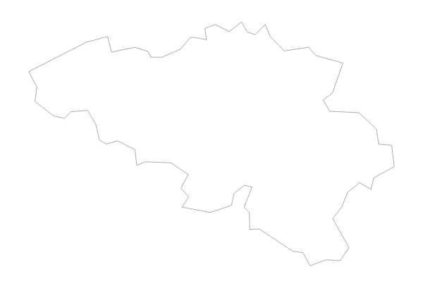
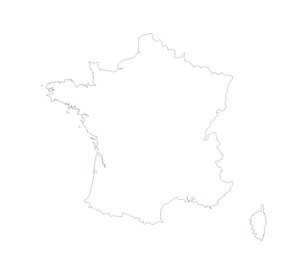
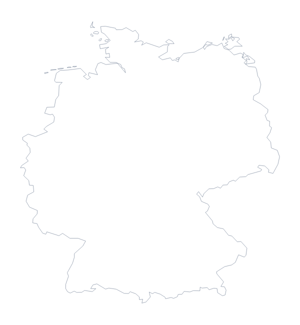
Questions people ask
How many areas does the blank map of Luxembourg show?
The With borders version draws 3 administrative areas: Diekirch, Grevenmacher and Luxembourg. Outline only draws the country as one shape. Neither has names.
Is there a political blank map of Luxembourg?
Yes, the With borders version, with its 3 administrative areas drawn and no names. It suits a quick labelling task or a base to colour in a design tool.
Can I make the outline bigger without it going blurry?
Yes, when you use the SVG or a PDF. Both are vector files, so Luxembourg can fill a poster without its lines turning soft.
Can I show the countries around Luxembourg?
Not on this page, which has the outline only. The editable map of Luxembourg has a Neighbours switch that draws the surrounding countries in grey.