Blank map of Bosnia and Herzegovina
The outline, free as a PNG, SVG or PDF. Label it, colour it in or drop it into a slide.
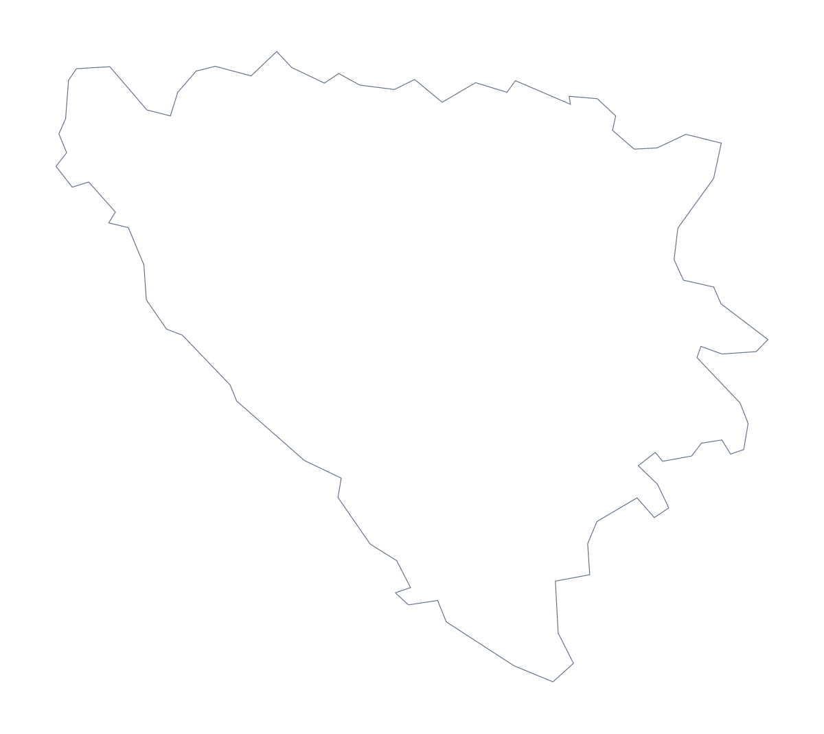
Using a blank map of Bosnia and Herzegovina
Bosnia and Herzegovina's outline is used in reports, quizzes and designs where there is more to label than a worksheet usually holds. This page offers the shape in two versions: Outline only, the country on its own, and With borders, which draws its 18 administrative areas. Each is a PNG, an SVG or a PDF.
A report cover or a briefing slide
On a cover or a briefing slide, the transparent PNG of Outline only takes the background colour. For a slide that talks about areas, use With borders, and fill the areas you need in your presentation software. Neighbouring countries can be added in grey beside it once the file is open in the editor. The SVG goes into a design tool, where the area lines can be thinned to suit a small slide.
A quiz with 18 possible answers
With 18 areas, a quiz has plenty of range. Number six or eight of them on the PNG of With borders, such as Livno, Foča, Trebinje and Brčko, and leave the rest for another round. The list further down the page serves as the answer sheet. A shorter version for younger children: print Outline only large and let them decorate it for a wall display.
Choosing the version and the file
The political blank map of Bosnia and Herzegovina is With borders. Pick Outline only for a silhouette or a faint background. PNG goes into documents and slides, SVG into design tools and a PDF to A4 or Letter. For print choices, see the printable map of Bosnia and Herzegovina. To add names, neighbours or a title, Customise this map opens the outline in the editor.
How to do it in MapMaker
- Choose With borders for the 18 administrative areas, or Outline only for the shape.
- Pick PNG for a report or slide, SVG for a design tool or PDF, A4 or PDF, Letter.
- Drop the file into your report or slide and resize it from a corner.
- Keep the list of areas on this page beside you as the answer sheet for any quiz.
- Choose Customise this map for names, neighbours or a title.
The 18 administrative areas on the map
A key for labelling the map by hand.
- Banja Luka
- Bijeljina
- Bosnian Podrinje Canton
- Brčko
- Central Bosnia Canton
- Doboj
- Foča
- Herzegovina-Neretva Canton
- Livno
- Posavina Canton
- Sarajevo Canton
- Sarajevo-Romanija
- Trebinje
- Tuzla Canton
- Una-Sana Canton
- Vlasenica
- West Herzegovina Canton
- Zenica-Doboj Canton
Facts about Bosnia and Herzegovina
Bosnia and Herzegovina is in Southern Europe. The capital is Sarajevo. The population is about 3.3 million (2019 estimate). Bosnia and Herzegovina has an area of about 51,700 km². The largest cities are Sarajevo, Banja Luka, Zenica, Mostar and Tuzla. It borders Croatia, Montenegro and Serbia. The map divides it into 18 administrative areas.
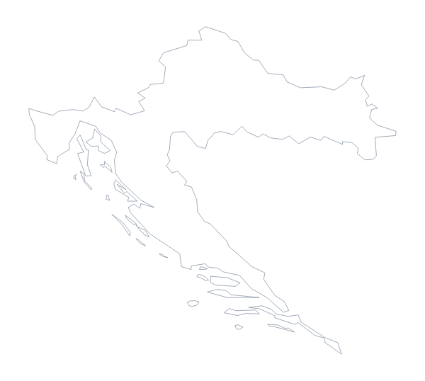
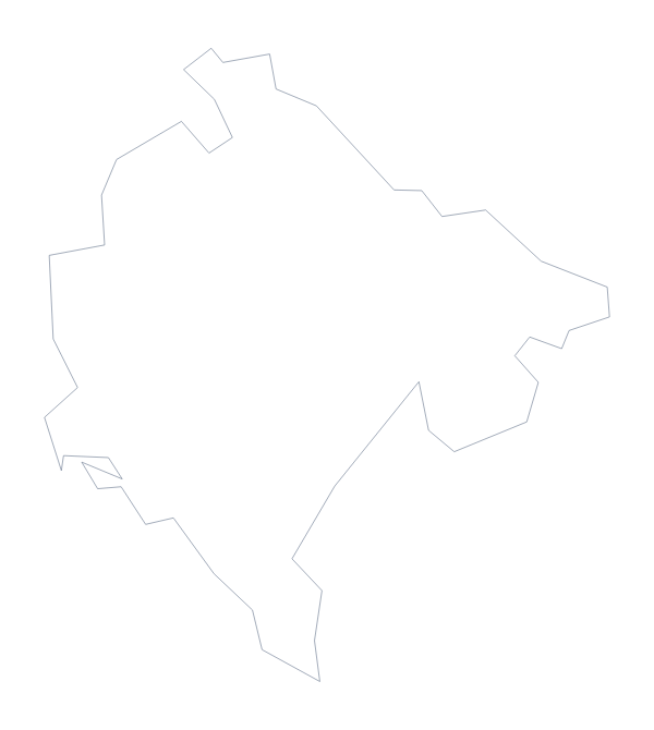
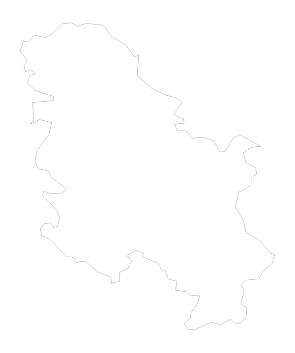
Maps of neighbouring places
Questions people ask
What is the difference between Outline only and With borders?
Outline only is the country as a single shape. With borders draws its 18 administrative areas inside it, and is the political blank map of Bosnia and Herzegovina. Neither version has names.
Which file should I use for a report, a slide or a design?
A PNG for a report or slide, as its background is transparent; an SVG for Illustrator, Inkscape or Figma, or for a large print; a PDF on A4 or Letter for paper.
Is there an answer key for a labelling quiz?
Yes. The list of administrative areas further down this page names all 18 that the With borders version draws. Number the ones you want pupils to find and mark against it.
Can I make the outline bigger without it going blurry?
Yes. The SVG and the PDF are vector files, so the outline and the lines between the 18 areas stay sharp at any size.