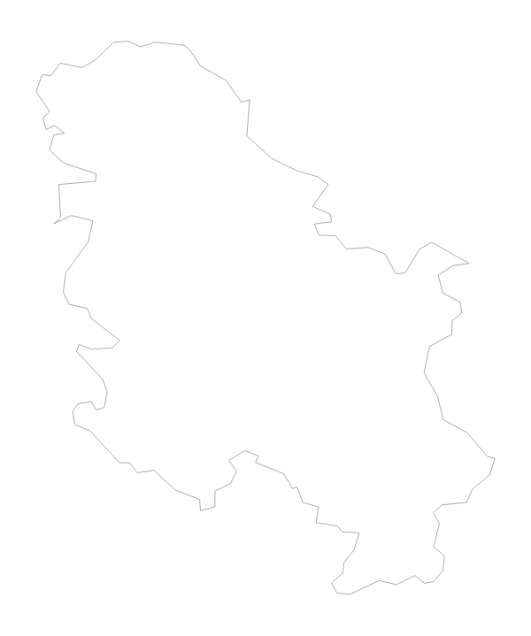
Blank map of Montenegro
The outline, free as a PNG, SVG or PDF. Label it, colour it in or drop it into a slide.
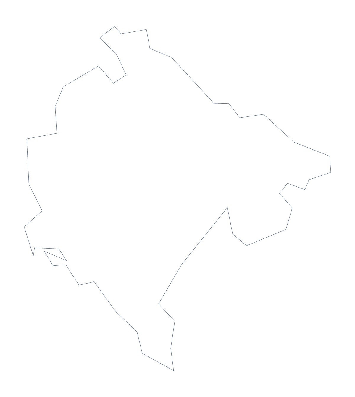
Using a blank map of Montenegro
Anyone who needs the shape of Montenegro for their own work will find it here as a file, in two versions. Outline only is the country on its own, and With borders adds its 21 administrative areas. Each version comes as a PNG on a transparent background, an SVG or a PDF.
Posters, covers and cut-outs
The SVG suits a design tool: open it in Illustrator, Inkscape or Figma, and scale it to a poster without losing a line. Give the outline a heavy stroke for a report cover, fill the areas with the colours of a project or trace the shape for a craft or a classroom display. Outline only is the simpler choice for a silhouette or a logo sketch, since there are no inner lines to work around.
A labelling task in your own sheet
For a worksheet, place the PNG of With borders in a document and set a word bank of a handful of areas, say Žabljak, Ulcinj, Tivat and Plav, beside the map. Pupils draw a line from each name to its area, and the list further down this page is your answer key. A starter on a slide shows Outline only with no title and asks which country it is.
Choosing and finishing
The political blank map of Montenegro is With borders. Take the PNG for a slide or document, where its transparent background shows the colour behind it, the SVG for design work, and the PDF when you want to print on A4 or Letter at 100%. For choices of ink and paper, use the printable map of Montenegro; to add names or colour, Customise this map opens the outline in the editor.
How to do it in MapMaker
- Choose With borders for the 21 areas, or Outline only for the shape of the country.
- Download the PNG, the SVG or a PDF in A4 or Letter.
- For a labelling sheet, place the PNG in your document and add a word bank beside it.
- Check pupils' answers against the list of areas on this page.
- Choose Customise this map for names, colours or a title.
The 21 administrative areas on the map
A key for labelling the map by hand.
- Andrijevica
- Bar
- Berane
- Bijelo Polje
- Budva
- Cetinje
- Danilovgrad
- Herceg Novi
- Kolašin
- Kotor
- Mojkovac
- Nikšić
- Plav
- Pljevlja
- Plužine
- Podgorica
- Rožaje
- Šavnik
- Tivat
- Ulcinj
- Žabljak
Facts about Montenegro
Montenegro is in Southern Europe. The capital is Podgorica. The population is about 620,000 (2019 estimate). Montenegro has an area of about 13,700 km². It borders Albania, Bosnia and Herzegovina, Croatia, Kosovo and Serbia. The map divides it into 21 administrative areas.
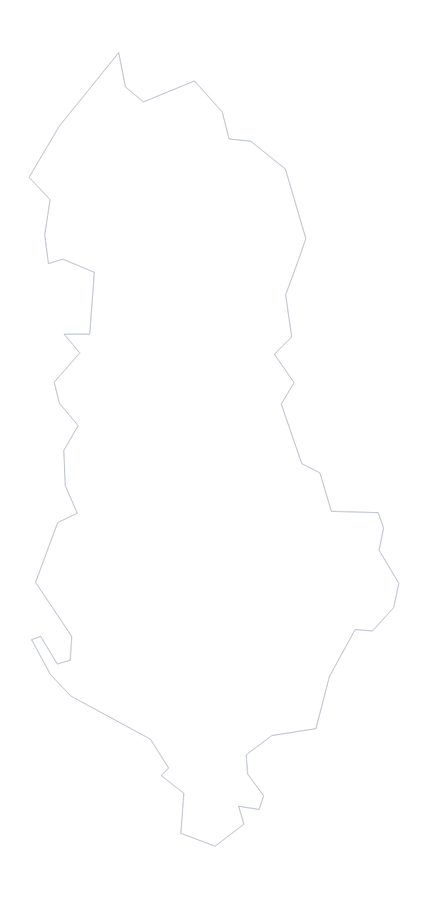
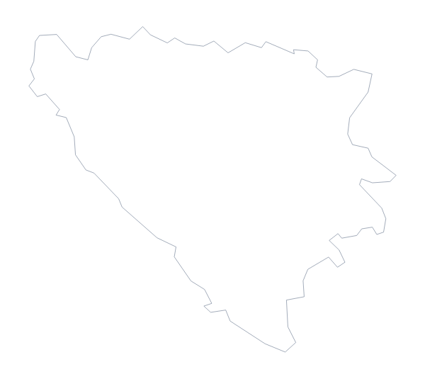
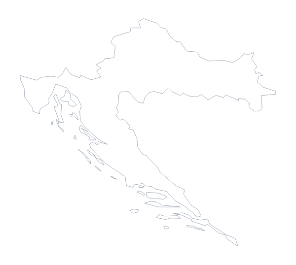
Maps of neighbouring places
Questions people ask
What is the difference between Outline only and With borders?
Outline only is the shape of Montenegro with nothing inside it. With borders adds the lines of its 21 administrative areas. Neither version has any names on it.
Is there a political blank map of Montenegro?
Yes. The political blank map of Montenegro is the With borders version, which draws the 21 areas with no names, ready for labelling from the list further down this page.
Can I open the SVG in Illustrator, Inkscape or Figma?
Yes. The SVG is a vector file, so the lines of Montenegro and its areas stay sharp at any size and can be recoloured, thickened or traced in a design tool.
Can I make the outline bigger without it going blurry?
Yes, with the SVG or the PDF, which are vector files and scale without blurring. The PNG suits the size it is placed at, so for a large poster use the SVG.