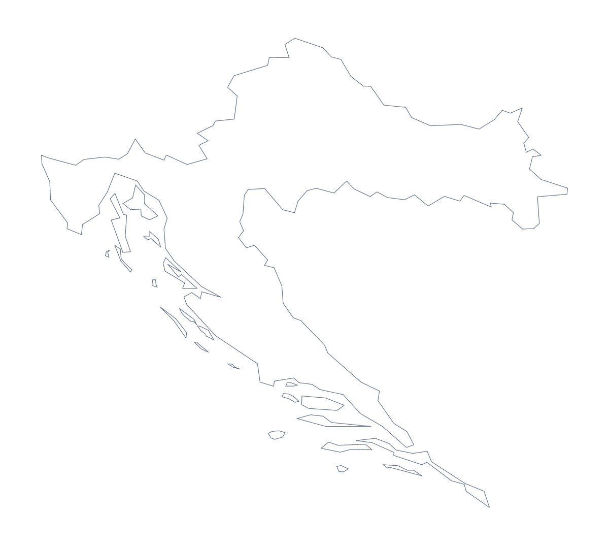
Blank map of Croatia
The outline, free as a PNG, SVG or PDF. Label it, colour it in or drop it into a slide.
Using a blank map of Croatia
A blank map of Croatia is a starting file: for a slide on a trip, a worksheet on its 21 administrative areas, or a poster. Outline only gives the country alone, With borders adds the areas, and each comes as a PNG, an SVG or a PDF. There are no names on any of them.
On a slide or a poster
The transparent PNG sits on any slide colour, so the shape of Croatia can have a title beside it and a trip's stops marked on top in your presentation software. For a poster, take the SVG into Illustrator, Inkscape or Figma and scale it up without blurring; thicken the outline, or colour the 21 areas in the shades of a brand or a trip.
A labelling worksheet
Place the PNG of With borders in a document and number five areas, such as Zadar, Istria, Lika-Senj, Osijek-Baranja and Varaždin. Pupils write each name in a box, and the list further down this page is the answer sheet. For a class display, print the SVG of With borders large and give each group a few of the 21 areas to decorate.
Which version
The political blank map of Croatia is the With borders version. If you want a silhouette for a cover, Outline only is the cleaner choice, because the lines between areas are not needed. Take a PDF for A4 or Letter when you want it on paper; the printable map of Croatia has black-and-white and colour choices. For names, pins or a title, Customise this map opens the outline in the editor.
How to do it in MapMaker
- Choose With borders for the 21 administrative areas, or Outline only for the shape.
- Pick PNG for a slide or worksheet, SVG for a design tool or PDF, A4 or PDF, Letter.
- Place the file on your page and resize it from a corner.
- Mark a labelling task against the list of areas on this page.
- Choose Customise this map for names, neighbours or a title.
The 21 administrative areas on the map
A key for labelling the map by hand.
- Bjelovar-Bilogora
- Brod-Posavina
- Dubrovnik-Neretva
- Istria
- Karlovac
- Koprivnica-Križevci
- Krapina-Zagorje
- Lika-Senj
- Međimurje
- Osijek-Baranja
- Požega-Slavonia
- Primorje-Gorski
- Šibenik-Knin
- Sisak-Moslavina
- Split-Dalmatia
- Varaždin
- Virovitica-Podravina
- Vukovar-Syrmia
- Zadar
- Zagreb
- Zagreb
Facts about Croatia
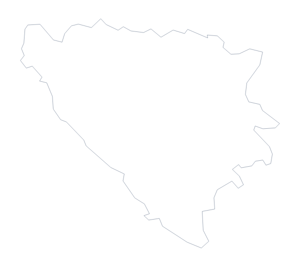
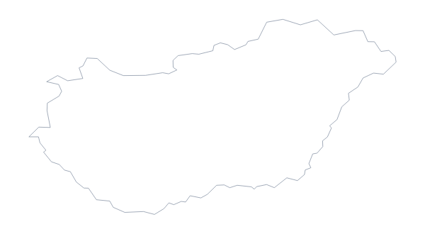
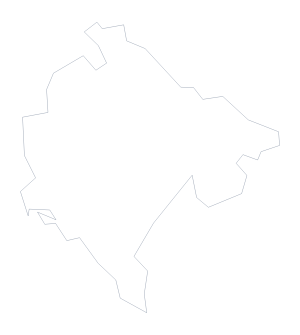
Croatia is in Southern Europe. The capital is Zagreb. The population is about 4.1 million (2019 estimate). Croatia has an area of about 54,900 km². The largest cities are Zagreb, Split, Rijeka, Slavonski Brod and Osijek. It borders Bosnia and Herzegovina, Hungary, Montenegro, Serbia and Slovenia. The map divides it into 21 administrative areas.
Maps of neighbouring places
Questions people ask
What is the difference between Outline only and With borders?
Outline only is the shape of Croatia with nothing inside it. With borders draws its 21 administrative areas inside it, and is the political blank map of Croatia. Neither has names.
Which file should I use in a slide or a design?
Use the PNG on a slide, since its background is transparent. Use the SVG in Illustrator, Inkscape or Figma, or when you will enlarge the map. Use a PDF to print on A4 or Letter.
Is there an answer key for a labelling quiz?
Yes. The list of administrative areas further down this page names all 21 that the With borders version draws, so you can mark answers against it.
Can I show the countries around Croatia?
Not on this page, which has the outline only. Choose Customise this map to open the editor, where the Neighbours switch draws the surrounding countries in grey.