Blank map of Botswana
The outline, free as a PNG, SVG or PDF. Label it, colour it in or drop it into a slide.
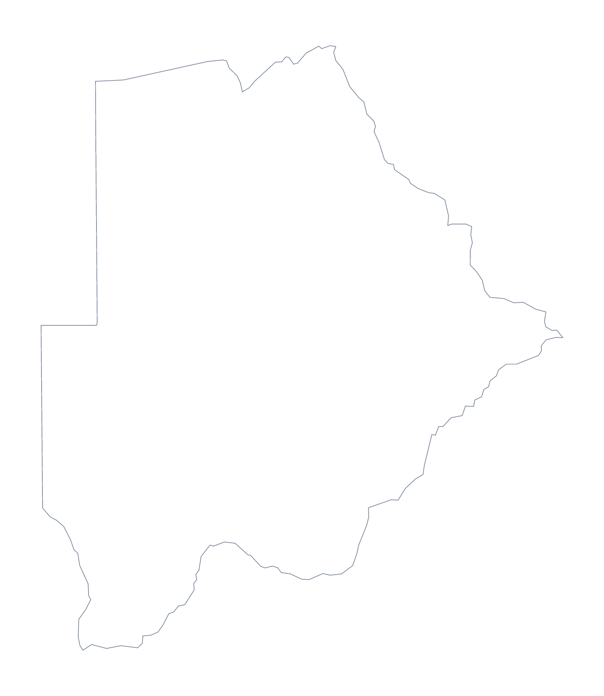
Using a blank map of Botswana
Which file you take depends on where the map is going. A worksheet or a slide wants the PNG, a poster wants the SVG, and a handout on A4 or Letter wants the PDF. Each comes in two versions for Botswana: Outline only, and With borders, which draws the 15 administrative areas.
A report page that needs a map
A market report on Botswana can open with the PNG on the cover: its transparent background takes the colour of the page, so only the shape shows. Add the area names you need as text boxes in your own layout, for example Central, Kweneng and Kgalagadi, beside the figures they refer to.
Designers can take the SVG into Illustrator, Inkscape or Figma and scale it without losing sharpness. With 15 areas the file stays light and easy to restyle: one fill, a thin line and a drop shadow make a tidy base for an infographic.
A map beside the figures
The political blank map of Botswana is the With borders version: 15 areas, no names. Put the PNG in a handout beside a table of figures and add a caption saying which areas the table covers, with the spellings taken from the list further down this page. For a gentler task, the outline alone can take a colour and a title written by the pupil.
Adding what the file lacks
Names, pins, a title or colours need the editor: Customise this map opens the same outline there. For printing on A4 or Letter at 100% in colour or black and white, the printable map of Botswana has the ready-made sheets.
How to do it in MapMaker
- Choose With borders to show the 15 administrative areas, or Outline only for Botswana as one shape.
- Download the PNG for a slide or report, the SVG for a design tool or a PDF for A4 or Letter.
- Place the file in your layout and add text boxes beside the areas you want named.
- Use the list of areas further down this page to spell the names you add.
- Choose Customise this map to draw names or colours on the map itself.
The 15 administrative areas on the map
A key for labelling the map by hand.
- Central
- Francistown
- Gaborone
- Ghanzi
- Jwaneng
- Kgalagadi
- Kgatleng
- Kweneng
- Lobatse
- North-East
- North-West
- Selebi-Phikwe
- South-East
- Southern
- Sowa
Facts about Botswana
Botswana is in Southern Africa. The capital is Gaborone. The population is about 2.3 million (2019 estimate). Botswana has an area of about 581,000 km². The largest cities are Gaborone, Francistown, Lobatse, Molepolole and Mahalapye. It borders Namibia, South Africa and Zimbabwe. The map divides it into 15 administrative areas.
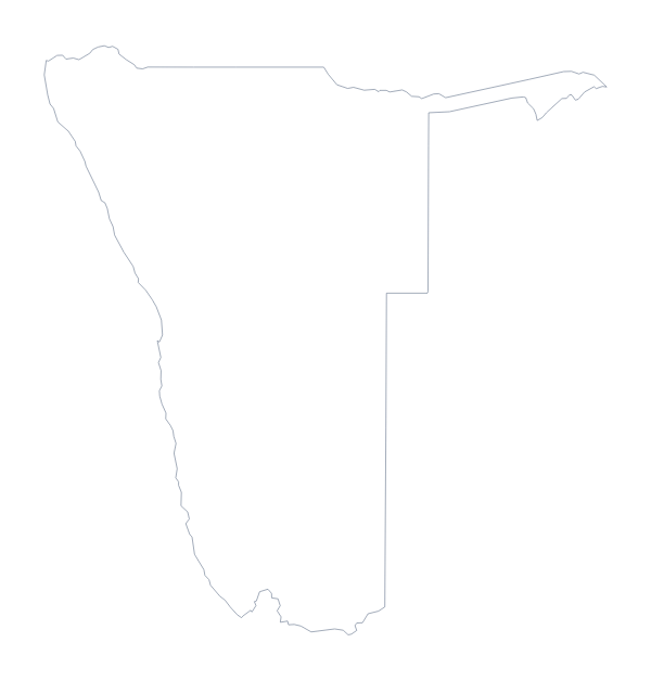
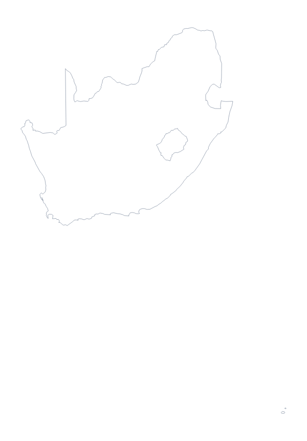
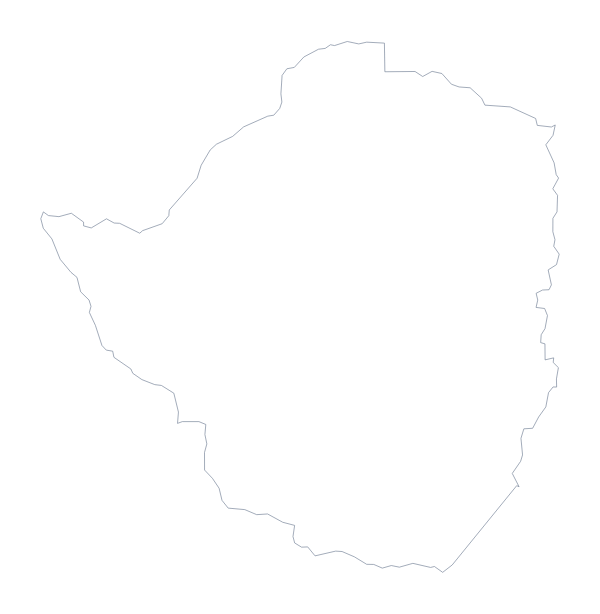
Maps of neighbouring places
Questions people ask
Is there a political blank map of Botswana?
Yes, it is the With borders version. It draws the lines of the 15 administrative areas and names none of them, so you can add your own labels or check pupils against the list further down this page.
How many administrative areas does the blank map show?
The With borders version shows 15 administrative areas, each a shape of its own. The Outline only version shows Botswana as one shape with no lines inside it.
Does the PNG have a transparent background?
Yes. The PNG has no background colour, so whatever sits behind it on a slide or a page shows through the gaps around Botswana.
Can I make the outline bigger without it going blurry?
Yes: use the SVG or the PDF. Both are vector files, so the lines stay sharp when Botswana is scaled up to poster size.