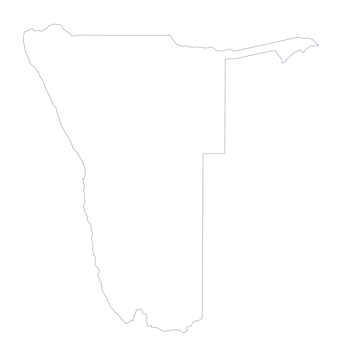
Blank map of Namibia
The outline, free as a PNG, SVG or PDF. Label it, colour it in or drop it into a slide.
Using a blank map of Namibia
Namibia's 13 administrative areas suit a worksheet you assemble yourself. Maybe you are writing a unit on the country in a word processor, or putting a map beside a set of questions in a quiz. This page gives you the outline to build on, in two versions, as a PNG on a transparent background, an SVG and a PDF. Outline only is the shape; With borders adds the areas.
A worksheet in a word processor
Drop the PNG into your document and set the questions around it. With With borders, the political blank map of Namibia, you can number any of the 13 areas on a printout or in your layout and ask pupils to name them from a word bank. Ohangwena, Omusati, Oshana and Oshikoto make a good group for a harder question, since their names start alike. Keep the list of areas lower on this page as your answer sheet.
For a unit page, set the PNG beside a short table of the areas you cover, with the spellings taken from the list of areas lower on this page.
In a slide or a poster
The transparent background of the PNG means a coloured slide shows through. A dark slide with a pale heading and the outline beside it works well. For a poster, the SVG enlarges without blurring, so a design tool can take it to any size.
Colours, names and more
If you need the areas coloured, or names printed on them, Customise this map opens the same outline in the editor. Print choices belong on the printable map of Namibia, and the choropleth map of Namibia colours the areas from a spreadsheet.
How to do it in MapMaker
- Choose With borders for the 13 administrative areas, or Outline only for the shape alone.
- Download the PNG for a worksheet, the SVG for a poster or design file, or a PDF for A4 or Letter.
- Insert the file in your document and number the areas you want pupils to name.
- For names or colour on the map itself, choose Customise this map.
The 13 administrative areas on the map
A key for labelling the map by hand.
- Erongo
- Hardap
- Karas
- Kavango
- Khomas
- Kunene
- Ohangwena
- Omaheke
- Omusati
- Oshana
- Oshikoto
- Otjozondjupa
- Zambezi
Facts about Namibia
Namibia is in Southern Africa. The capital is Windhoek. The population is about 2.5 million (2019 estimate). Namibia has an area of about 825,000 km². The largest cities are Windhoek, Rundu, Walvis Bay, Swakopmund and Rehoboth. It borders Angola, Botswana, South Africa and Zambia. The map divides it into 13 administrative areas.
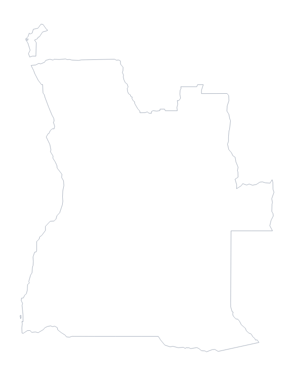
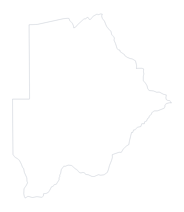
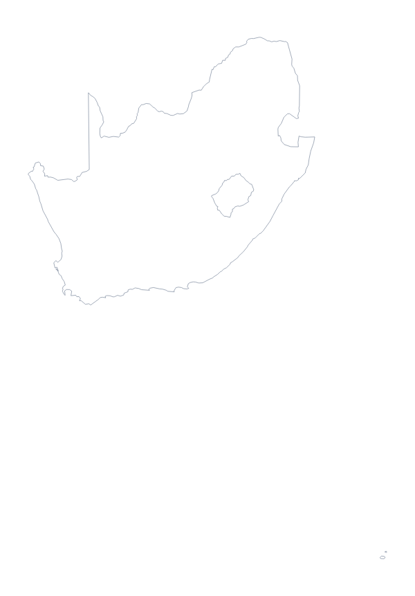
Maps of neighbouring places
Questions people ask
What is the difference between Outline only and With borders?
Outline only is the shape of Namibia with nothing inside it. With borders draws the lines of the 13 administrative areas as well, still with no names, which is the version to use for labelling or a quiz.
How many areas does the blank map of Namibia show?
The With borders version shows 13 administrative areas, from Erongo to Zambezi. They are listed further down this page, so the list works as a key for checking labels.
Can I make the outline bigger without it going blurry?
Yes. The SVG and the PDF are vector files, so the lines stay sharp at any size. Enlarge the SVG in a design tool for a poster, or print the PDF at 100% on A4 or Letter.
How do I add names, a title or my own colours?
Choose Customise this map. It opens the same outline in the editor, where you can show names, colour areas, add pins and a title on the Canvas tab, and download a PNG, JPG or SVG.