Blank map of Burundi
The outline, free as a PNG, SVG or PDF. Label it, colour it in or drop it into a slide.
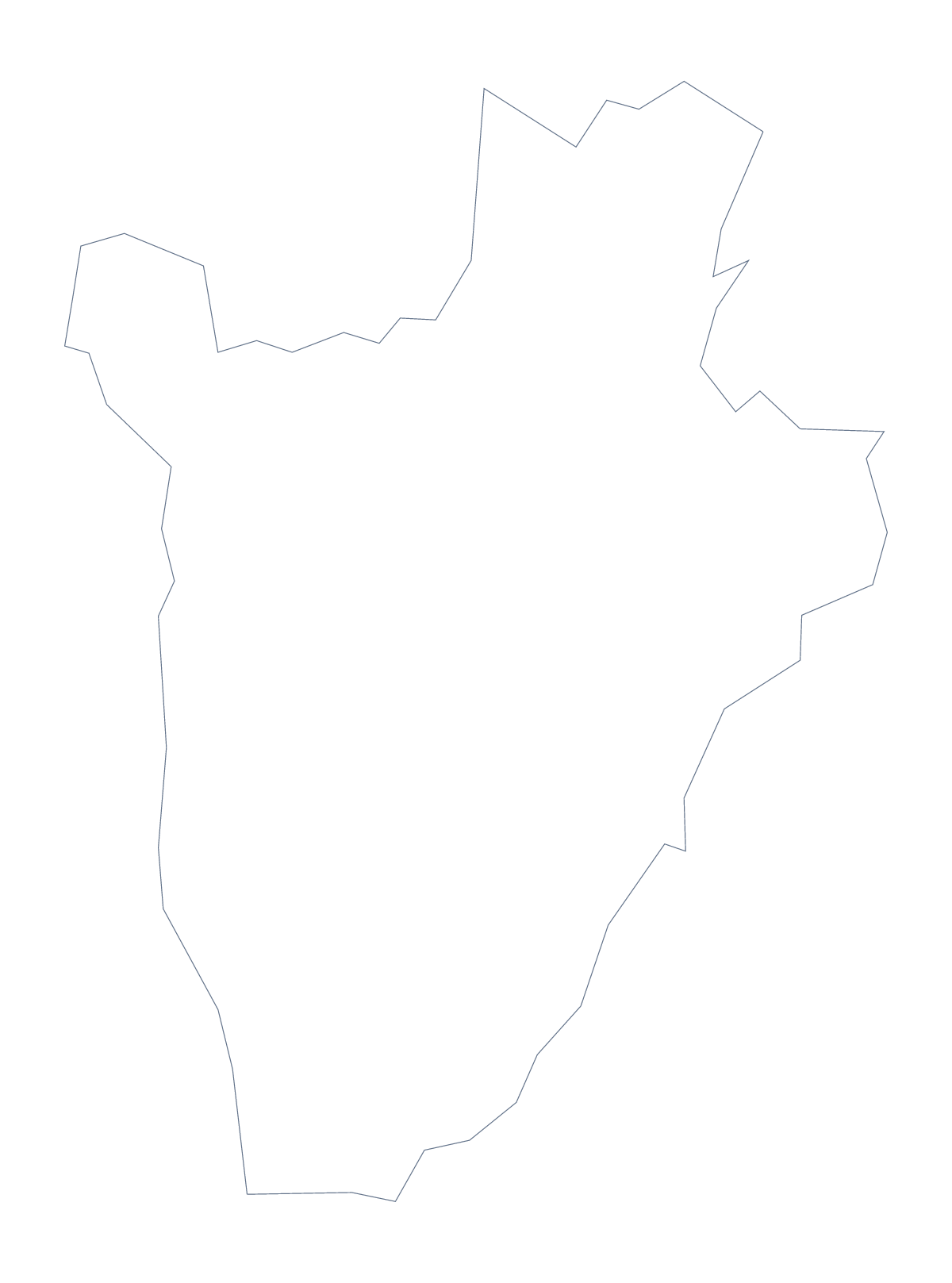
Using a blank map of Burundi
Burundi has a small outline, and a worksheet can hold more than one of them. Take Outline only for the country as a single shape, or With borders for its 17 administrative areas, each as a PNG on a transparent background, an SVG or a PDF for A4 or Letter.
Three outlines on one sheet
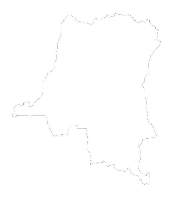
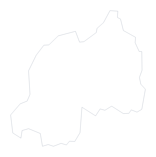
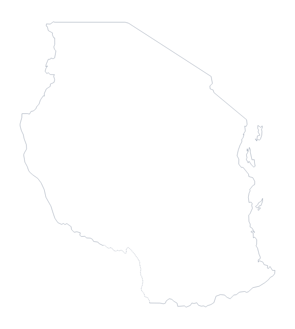
A neat worksheet puts Burundi next to its neighbours. Download the PNG of Burundi here, then the PNGs from the blank map of Rwanda and the blank map of Tanzania, and lay all three on one page in your word processor. Add a number to each and ask pupils which country is which; the editable page's Neighbours switch shows how they sit together if a check is needed.
Labelling the areas
With borders is the political blank map of Burundi: 17 areas, no names. The list further down this page is the key. A colouring rule gives a second task: pupils shade the areas that begin with the same letter, or choose their own rule and write it as a key under the map.
In a design
The SVG opens in Illustrator, Inkscape or Figma, where the 17 areas can be recoloured one by one. Slides need only the PNG, placed behind a title or beside a few figures, whose transparent background lets the slide's colour fill the space around Burundi. For names or pins on the map itself, Customise this map opens the editor, and the printable map of Burundi has the print choices.
How to do it in MapMaker
- Choose Outline only for Burundi alone, or With borders for the 17 areas.
- Download the PNG for a worksheet or slide, the SVG for a design tool or a PDF for A4 or Letter.
- Repeat for Rwanda and Tanzania if you want the neighbours on the same sheet.
- Number the shapes in your document and check answers against the list further down this page.
- Choose Customise this map if you want names drawn on the map.
The 17 administrative areas on the map
A key for labelling the map by hand.
- Bubanza
- Bujumbura Mairie
- Bujumbura Rural
- Bururi
- Cankuzo
- Cibitoke
- Gitega
- Karuzi
- Kayanza
- Kirundo
- Makamba
- Muramvya
- Muyinga
- Mwaro
- Ngozi
- Rutana
- Ruyigi
Facts about Burundi
Burundi is in Eastern Africa. The capital is Gitega. The population is about 12 million (2019 estimate). Burundi has an area of about 27,200 km². The largest cities are Bujumbura, Muyinga, Ruyigi, Gitega and Ngozi. It borders Democratic Republic of the Congo, Rwanda and Tanzania. The map divides it into 17 administrative areas.
Maps of neighbouring places
Questions people ask
What is the difference between Outline only and With borders?
Outline only is the shape of Burundi with nothing inside it. With borders adds the lines of its 17 administrative areas. Neither has names, so both can be labelled by hand.
Does the PNG have a transparent background?
Yes. The PNG has no background colour of its own, so the colour of your page or slide shows through around Burundi.
Is there a blank map of Burundi's areas on their own?
The With borders version is that map: 17 administrative areas drawn as separate shapes, with no names. The list further down this page gives the names to check against.
Can I show the countries around Burundi?
Not on this page, which carries the outline only. Choose Customise this map and switch on Neighbours in the editor to draw the countries beside Burundi in grey.