Blank map of the Democratic Republic of the Congo
The outline, free as a PNG, SVG or PDF. Label it, colour it in or drop it into a slide.
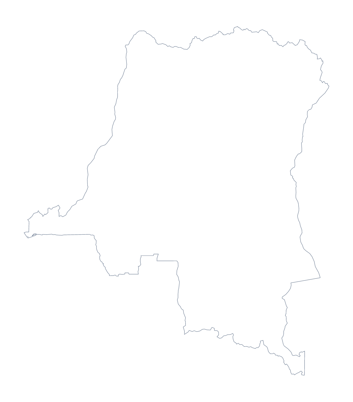
Using a blank map of the Democratic Republic of the Congo
Anyone who needs the Democratic Republic of the Congo as a shape for their own work will find two versions on this page: Outline only, the shape alone, and With borders, which draws its 11 administrative areas. Each comes as a PNG on a transparent background, an SVG and a PDF.
A display wall, a slide and a briefing
The shape is large, so it works well when enlarged. A class display can start from the SVG, scaled up to poster size, with each group colouring one or two areas by hand. A design team can use the same SVG as a background shape for a report, setting the outline in a pale colour behind a headline.
For a slide in a briefing, take the PNG and set it on a dark slide; the transparent background leaves just the shape. Beside it, three short points about the region work better than a crowded legend.
A briefing page can use the With borders PNG with text boxes over a few areas, such as Katanga, Équateur, Maniema, Kinshasa, Orientale and Kongo Central, each carrying a line of notes. The list of areas further down this page gives the spellings.
Lines inside or not
With borders is the political blank map of the country, with the areas drawn and no names. Outline only removes the inner lines, which suits a silhouette for a cover or a first colouring task.
Taking the file
PNG for a slide or a worksheet, SVG for a design tool or a poster, PDF for A4 or Letter. Names, a title or the countries around the outline need Customise this map, which opens the same outline in the editor. For ready-made sheets, use the printable map of the Democratic Republic of the Congo.
How to do it in MapMaker
- Choose With borders for the 11 administrative areas, or Outline only for the shape alone.
- Download the SVG for scaling up, the PNG for a slide or a PDF for A4 or Letter.
- Place the file on your poster or slide.
- Lay text boxes over the areas your page covers and spell them from the list further down this page.
- For names, a title or the neighbours on the map, choose Customise this map.
The 11 administrative areas on the map
A key for labelling the map by hand.
- Bandundu
- Équateur
- Kasaï-Occidental
- Kasaï-Oriental
- Katanga
- Kinshasa
- Kongo Central
- Maniema
- North Kivu
- Orientale
- South Kivu
Facts about the Democratic Republic of the Congo
The Democratic Republic of the Congo is in Middle Africa. The capital is Kinshasa. The population is about 87 million (2019 estimate). The Democratic Republic of the Congo has an area of about 2,340,000 km². The largest cities are Kinshasa, Lubumbashi, Mbuji-Mayi, Kananga and Kikwit. It borders Angola, Burundi, Central African Republic, Congo, Rwanda, South Sudan, Tanzania, Uganda and Zambia. The map divides it into 11 administrative areas.
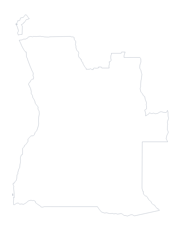
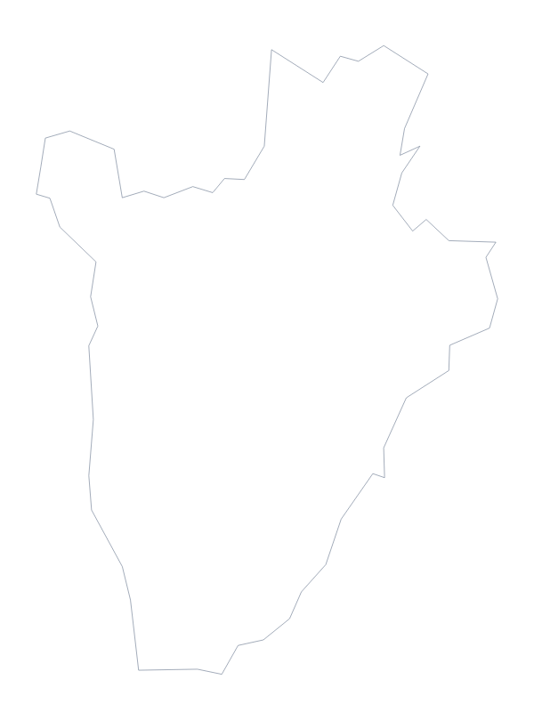
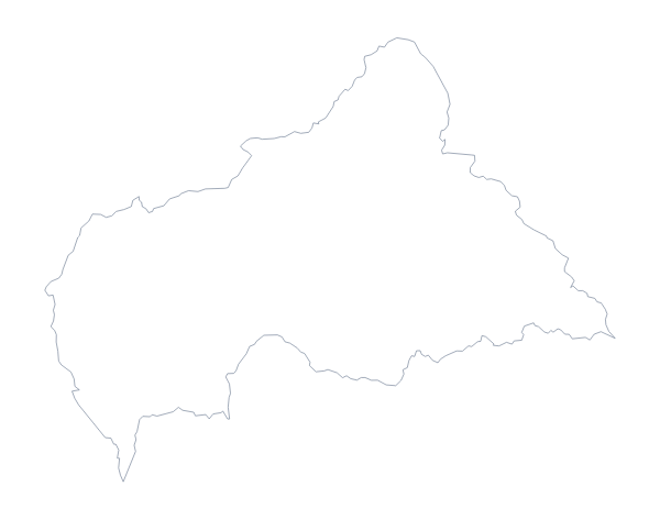
Maps of neighbouring places
Questions people ask
How many administrative areas does the blank map show?
The With borders version shows 11 administrative areas, from Bandundu to South Kivu, each as its own shape with no names. The list on this page names them for checking answers.
Is there a political blank map of the Democratic Republic of the Congo?
Yes. It is the With borders version, which draws the 11 areas without names. Use the list of areas further down this page when you label it by hand.
Can I make the outline bigger without it going blurry?
Yes. Use the SVG, which is a vector file and enlarges to any size. The PNG suits slides and worksheets, and the PDF is for A4 or Letter.
How is this different from the printable map of the Democratic Republic of the Congo?
This page gives the shape as a file for your own worksheet, slide or design, with a transparent PNG and an SVG. The printable page gives ready-made sheets with paper and ink choices.