Blank map of Tanzania
The outline, free as a PNG, SVG or PDF. Label it, colour it in or drop it into a slide.
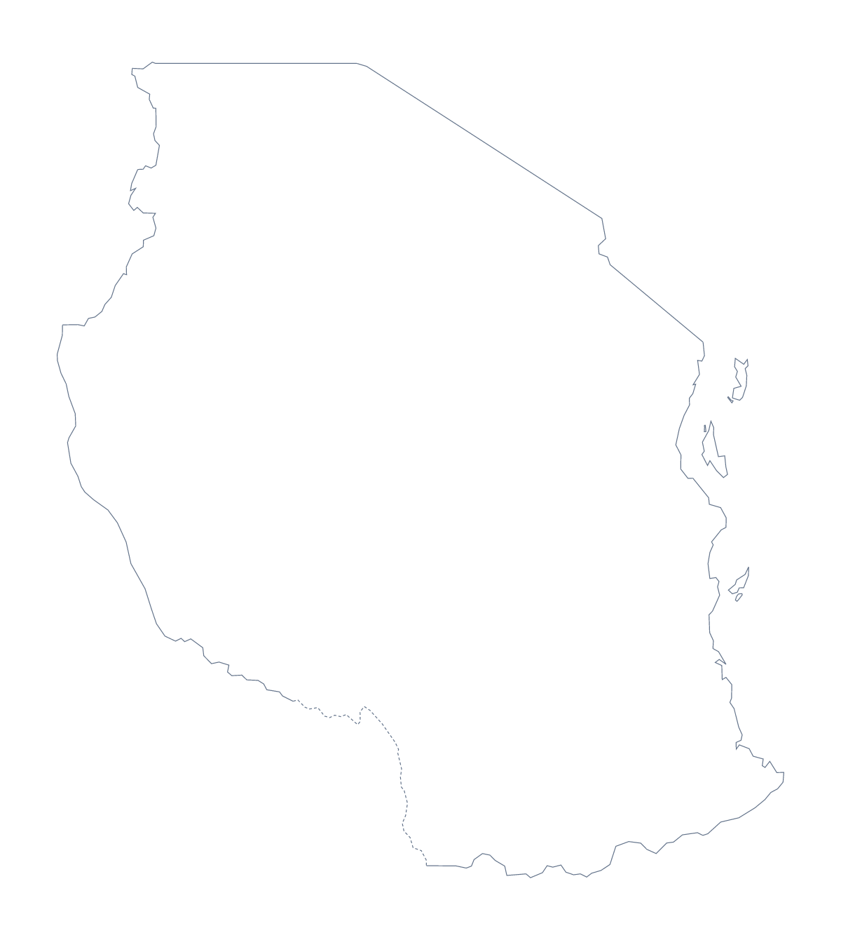
Using a blank map of Tanzania
Tanzania's blank map goes into things people make themselves: a topic sheet, a slide with their own findings, a poster for a trip. You get the shape, nothing else. Outline only is the country as one piece, and With borders draws its 30 administrative areas with no names.
What to put on it
Put the With borders PNG on a page and number a few areas, perhaps Kagera, Katavi, Njombe and Ruvuma, with a box beside each for a note. The list further down the page gives the spellings. With 30 shapes, numbering a handful is kinder than numbering them all.
A cover or title slide uses the Outline only PNG: set it in a pale tint behind the heading and let the text carry the topic.
Design, slides and posters
On a slide, set the PNG on your theme colour and the transparent background does the rest, leaving space for a title and a few numbers. A designer can open the SVG in Illustrator, Inkscape or Figma and fill one area in a strong colour, the rest in a pale tint, to show where a project sits. Thicken the outline and it is ready for a poster.
The two versions and where to go next
The political blank map of Tanzania is the With borders version, best for labelling and quizzes. Outline only suits a silhouette, a cover or younger pupils. Choose a PNG for worksheets, an SVG for design tools and a PDF for paper. For print choices, the printable map of Tanzania goes into detail, and Customise this map opens the outline in the editor for names or colours.
How to do it in MapMaker
- Choose With borders for the 30 areas, or Outline only for the shape of Tanzania alone.
- Download the PNG for a slide or worksheet, the SVG for a design tool or a PDF for A4 or Letter.
- Place the file in your document and resize it from a corner.
- Number the areas you want to describe, and spell them from the list below.
- Choose Customise this map if the map needs names, colours or a title.
The 30 administrative areas on the map
A key for labelling the map by hand.
- Arusha
- Dar es Salaam
- Dodoma
- Geita
- Iringa
- Kagera
- Katavi
- Kigoma
- Kilimanjaro
- Lindi
- Manyara
- Mara
- Mbeya
- Mjini Magharibi
- Morogoro
- Mtwara
- Mwanza
- Njombe
- North Pemba
- Pwani
- Rukwa
- Ruvuma
- Shinyanga
- Simiyu
- Singida
- South Pemba
- Tabora
- Tanga
- Unguja North
- Unguja South
Facts about Tanzania
Tanzania is in Eastern Africa. The capital is Dodoma. The population is about 58 million (2019 estimate). Tanzania has an area of about 946,000 km². The largest cities are Dar es Salaam, Moshi, Mwanza, Zanzibar and Arusha. It borders Burundi, Democratic Republic of the Congo, Kenya, Malawi, Mozambique, Rwanda, Uganda and Zambia. The map divides it into 30 administrative areas.
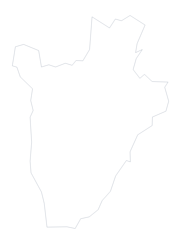
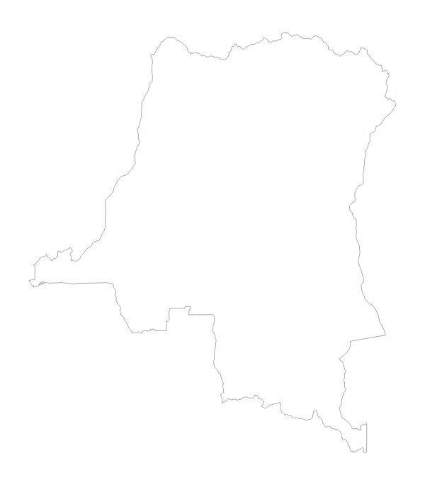
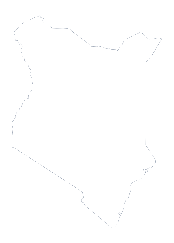
Maps of neighbouring places
Questions people ask
Is there a political blank map of Tanzania?
Yes. It is the With borders version, which draws all 30 administrative areas with no names. Label them from the list further down this page, or number a few for a quiz.
Does the blank map show the names of the administrative areas?
No. A blank map has no names, which leaves the areas for you to fill in. To get names on the map, choose Customise this map, turn them on in the editor and download from there.
Which file should I use in a worksheet, a slide or a design?
The PNG for a worksheet or a slide, since its background is transparent. The SVG for Illustrator, Inkscape or Figma, where it scales without blurring. The PDF when you want it on A4 or Letter.
Can I make the outline bigger without it going blurry?
Yes: use the SVG or the PDF. Both are vector files, so the lines of Tanzania and its areas stay sharp at any size, from a handout to a poster.