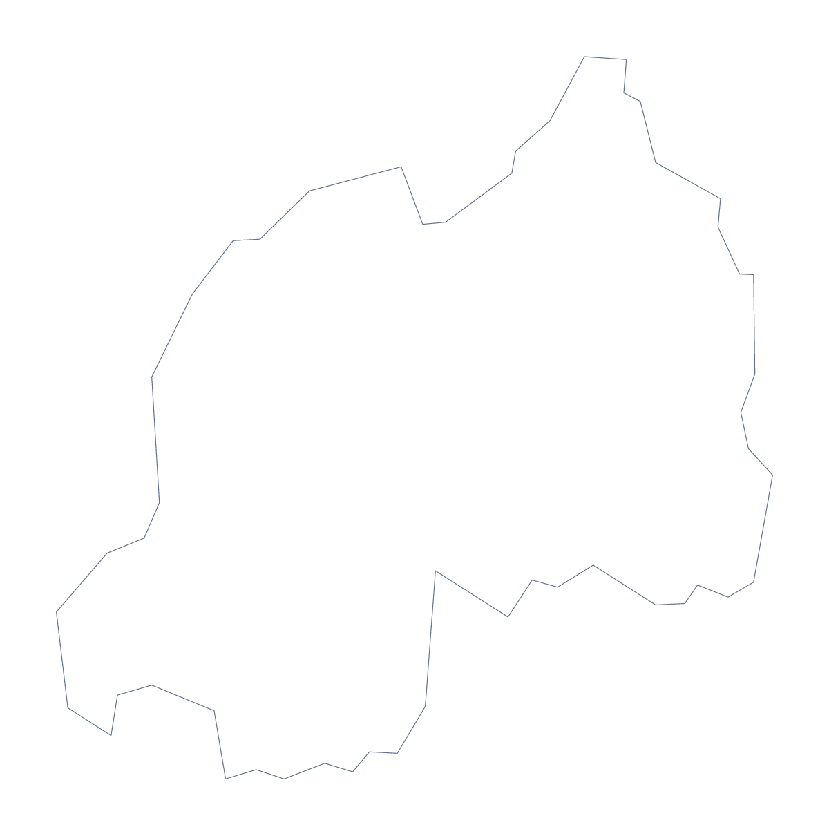
Blank map of Rwanda
The outline, free as a PNG, SVG or PDF. Label it, colour it in or drop it into a slide.
Using a blank map of Rwanda
For a school project or a poster on Rwanda, the shape is the easy part to get wrong: hand-drawn outlines wobble, and screenshots come with the rest of a web page attached. This page gives you a clean one. Outline only is Rwanda on its own. With borders adds its 5 administrative areas. Each is a PNG on a transparent background, an SVG and a PDF.
A project poster
Print the PDF on A4 or Letter and stick it in the middle of a sheet of card, then build the poster around it: a title above, five small boxes with notes for Eastern, Kigali, Northern, Southern and Western, and lines from each box to its area. Because the map carries no names, the writing on the poster is entirely the student's own. Keep the list on this page for checking spelling.
On screen
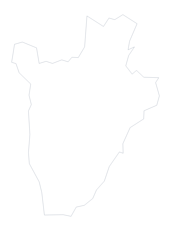
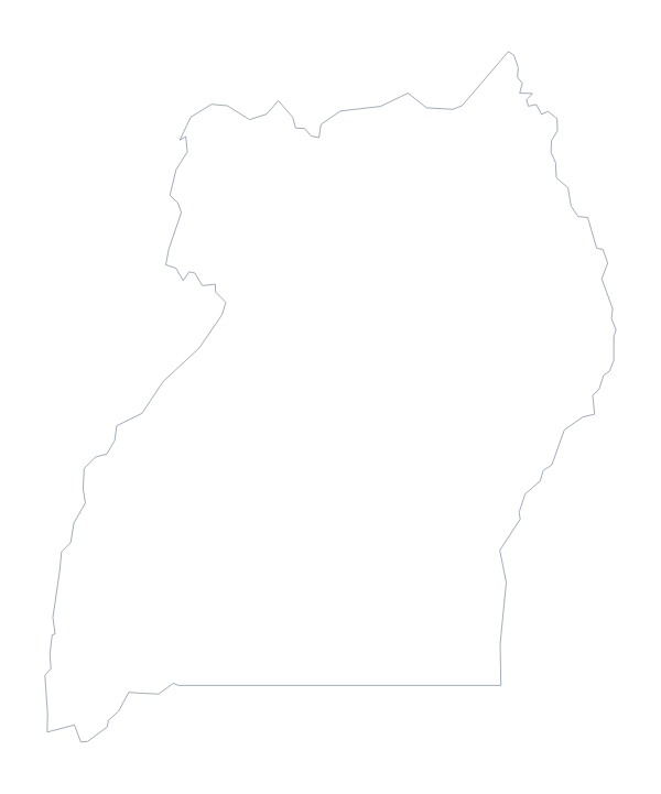
Putting the PNG on a slide gives you a map that takes the slide's colour, since the background is transparent. A short slide on Rwanda and its neighbours works well with the blank map of Uganda or the blank map of Burundi beside it: place the files side by side and label each country.
Which version
With only five areas, With borders is light, and it is the political blank map of Rwanda. It suits a labelling exercise, or a slide where each area carries a point. Outline only is better for a silhouette, a logo sketch or very young children, who can colour the whole shape and write one name across it.
A design file
Designers can take the SVG into Illustrator, Inkscape or Figma, and recolour the areas one at a time. It scales to a banner or a wall display without blurring.
For names, colours or cities pinned on the map, Customise this map opens the same outline in the editor.
How to do it in MapMaker
- Choose With borders for the 5 administrative areas, or Outline only for Rwanda alone.
- Download the PNG for a poster or a slide, the SVG for a design tool or the PDF for A4 or Letter.
- Place the file on your page and write the names and notes yourself.
- For names or colours on the map, choose Customise this map.
The 5 administrative areas on the map
A key for labelling the map by hand.
- Eastern
- Kigali
- Northern
- Southern
- Western
Facts about Rwanda
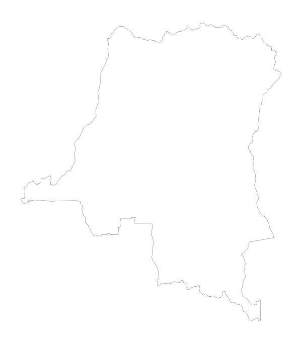
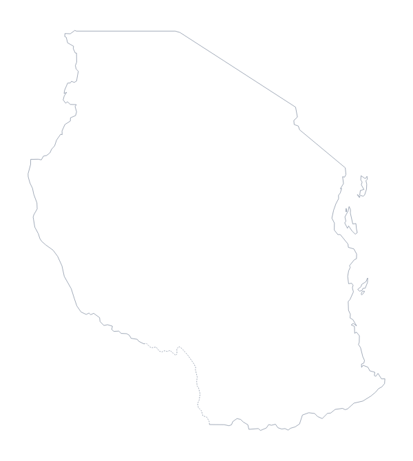
Rwanda is in Eastern Africa. The capital is Kigali. The population is about 13 million (2019 estimate). Rwanda has an area of about 25,400 km². The largest cities are Kigali, Nyanza, Gitarama, Ruhengeri and Gisenyi. It borders Burundi, Democratic Republic of the Congo, Tanzania and Uganda. The map divides it into 5 administrative areas.
Maps of neighbouring places
Questions people ask
How many areas does the blank map of Rwanda show?
With borders draws 5 administrative areas: Eastern, Kigali, Northern, Southern and Western. None of them is named on the file, so you can label them yourself or use the list on this page as a key.
Is there a political blank map of Rwanda?
Yes. It is the With borders version, which shows the 5 administrative areas with no names. Outline only is the shape alone, for when you do not want inner lines.
Can I colour the map in before I download it?
Not on this page, which gives you the files as drawn. To colour areas first, use the editable map of Rwanda, or choose Customise this map to open the outline in the editor.
Which file should I use in a worksheet, a slide or a design?
The PNG for a worksheet or slide, with its transparent background. The SVG for a design tool or to enlarge without blurring. The PDF to print the outline on A4 or Letter.