Blank map of Cambodia
The outline, free as a PNG, SVG or PDF. Label it, colour it in or drop it into a slide.
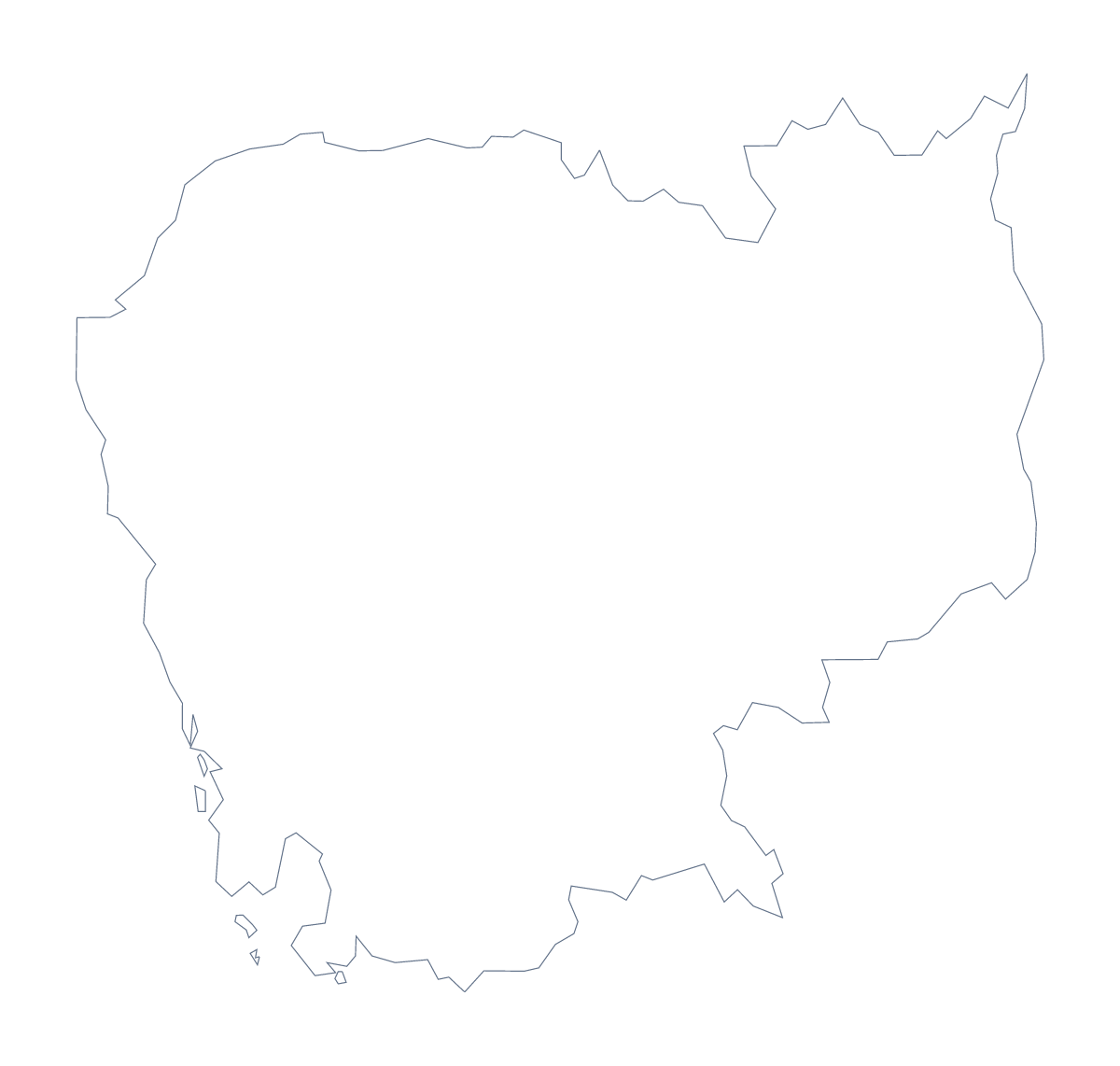
Using a blank map of Cambodia
A good worksheet on Cambodia needs a clean map to build on, and the choice here is between Outline only, the shape alone, and With borders, which adds the lines of its 24 administrative areas. Every version is a PNG on a transparent background, an SVG and a PDF for A4 or Letter.
A shape-recognition quiz in slides
With 24 areas there is material for several rounds. Open the With borders SVG in a design tool, crop one area at a time and put each on its own slide, then reveal the name on the next one. Battambang, Kampot, Kep, Pailin, Ratanakiri and Svay Rieng make a mixed set, and the list further down is the answer sheet.
A report cover or a slide
On a slide with a dark or tinted background, the PNG's transparent background lets the colour show through, so the outline sits alongside a headline with no white box. For a cover, bring the SVG into Figma, Illustrator or Inkscape, where each area can take its own fill and the lines can be thickened to match your layout.
Picking a version
Use Outline only when the inside lines would get in the way, such as a silhouette, a badge or a first drawing for young children. Use With borders, the political blank map of Cambodia, when pupils need to name or colour areas. Either one takes your own labels in the slide or document around it.
To add names or pins on the map itself, Customise this map opens the same outline in the editor. The editable map of Cambodia offers a quick colour bar too.
How to do it in MapMaker
- Choose With borders for the 24 areas, or Outline only for the shape alone.
- Download the PNG for a slide or worksheet, the SVG for a design tool or a PDF for A4 or Letter.
- Place it in your document, or crop single areas from the SVG for a slide quiz.
- Check answers against the list of areas lower down this page.
- For names, pins or colours, choose Customise this map.
The 24 administrative areas on the map
A key for labelling the map by hand.
- Banteay Meanchey
- Battambang
- Kam
- Kampong Cham
- Kampong Chhnang
- Kampong Thom
- Kampot
- Kandal
- Kep
- Koh Kong
- Kratié
- Mondulkiri
- Oddar Meanchey
- Pailin
- Phnom Penh
- Preah Vihear
- Prey Veng
- Pursat
- Ratanakiri
- Siem Reap
- Sihanoukville
- Stung Treng
- Svay Rieng
- Takéo
Facts about Cambodia
Cambodia is in South-Eastern Asia. The capital is Phnom Penh. The population is about 16 million (2019 estimate). Cambodia has an area of about 182,000 km². The largest cities are Phnom Penh, Battambang, Siem Reap, Kampong Cham and Kompong Chhnang. It borders Laos, Thailand and Vietnam. The map divides it into 24 administrative areas.
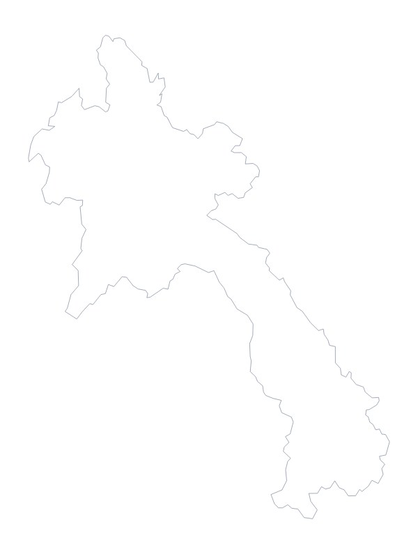
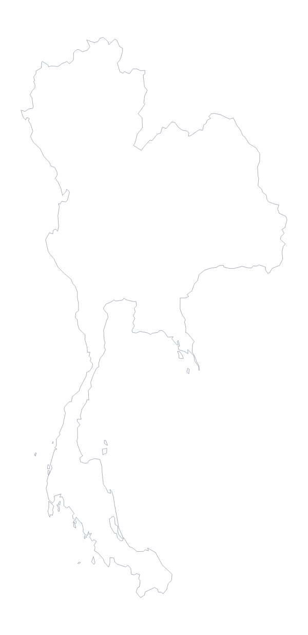
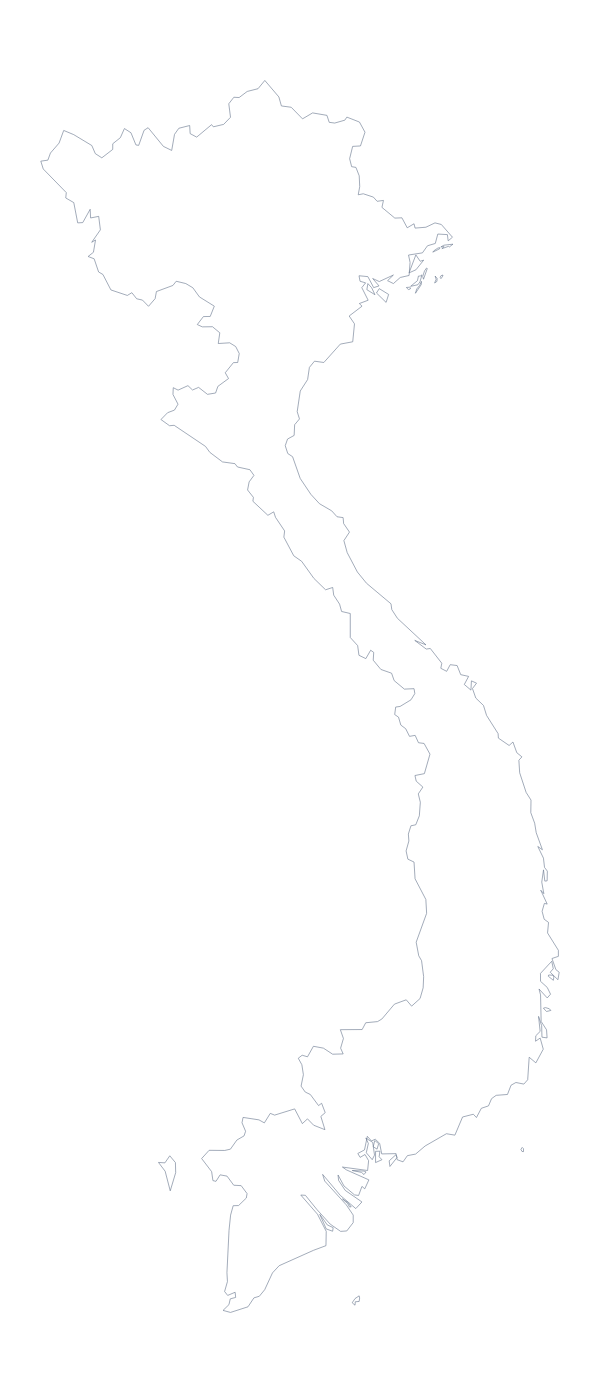
Maps of neighbouring places
Questions people ask
Is there a political blank map of Cambodia?
Yes: it is the With borders version, which draws the 24 administrative areas without names. The list of areas further down this page is the key for checking a quiz.
What is the difference between Outline only and With borders?
Outline only is the shape of Cambodia with nothing inside it. With borders adds the lines between all 24 administrative areas. Both come as a PNG, an SVG and a PDF on A4 or Letter.
Is there an answer key for a labelling quiz?
Yes. The list of the 24 administrative areas on this page names them all, so you can mark a worksheet against it or copy the names you need into your own answer sheet.
Can I colour the map in before I download it?
Not on this page, since the map here does not change. Choose Customise this map to colour areas in the editor, or use the printable page to shade a few before printing a PDF.