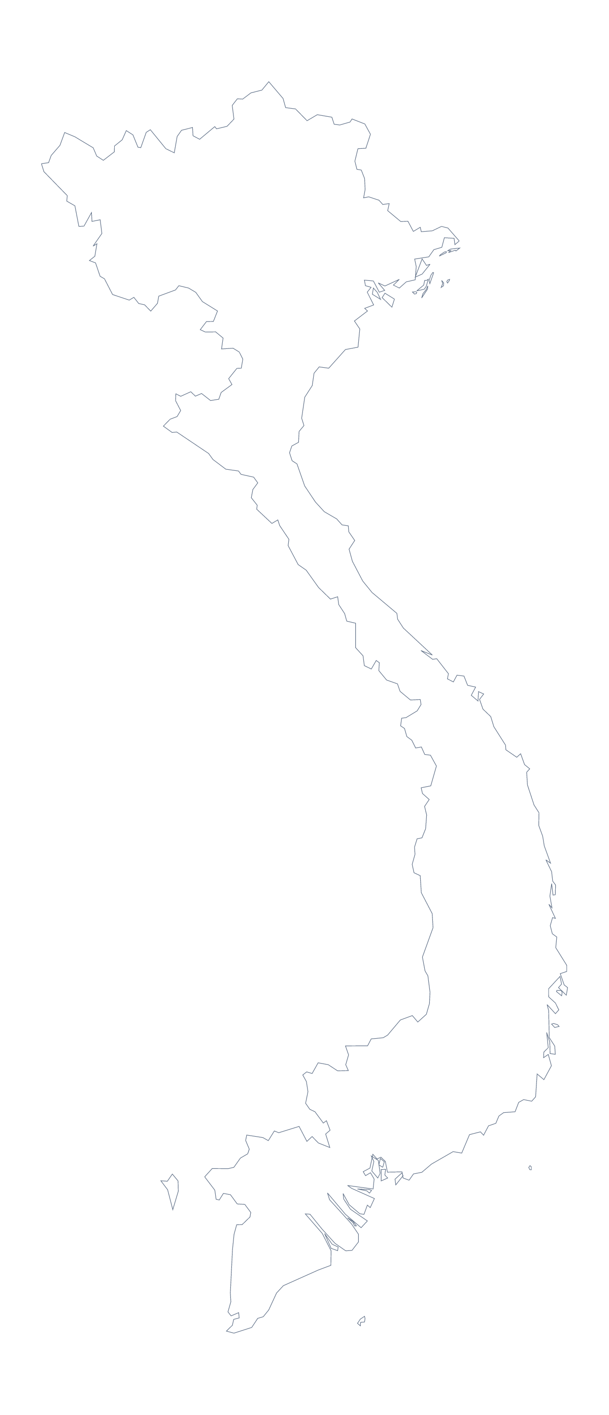
Blank map of Vietnam
The outline, free as a PNG, SVG or PDF. Label it, colour it in or drop it into a slide.
Using a blank map of Vietnam
Sometimes all you want of Vietnam is its shape: for a poster, a worksheet, a slide with a title and one figure, or a graphic that you will build around. This page has it in two versions, Outline only, and With borders, which draws the 63 administrative areas inside it. Each is a PNG on a transparent background, an SVG and a PDF.
For a designer or a presenter
Open the SVG in Illustrator, Inkscape or Figma and the lines can be restyled, recoloured or scaled to poster size without blurring. Pick Outline only if the area lines would distract, say for a logo sketch or a cover image. On a slide, place the PNG over any colour: the transparent background lets that colour show, so only the shape appears with a headline beside it.
For a classroom
With borders is the political blank map of Vietnam. It has no names, so it is a ready labelling sheet. Number ten of the 63 areas on the PNG in your worksheet, perhaps Điện Biên, Kon Tum and Cà Mau among them, and use the list further down this page as the answer sheet. For younger pupils, Outline only is a gentler file: one long shape, with no inner lines to read.
One page in a wider set
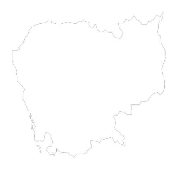
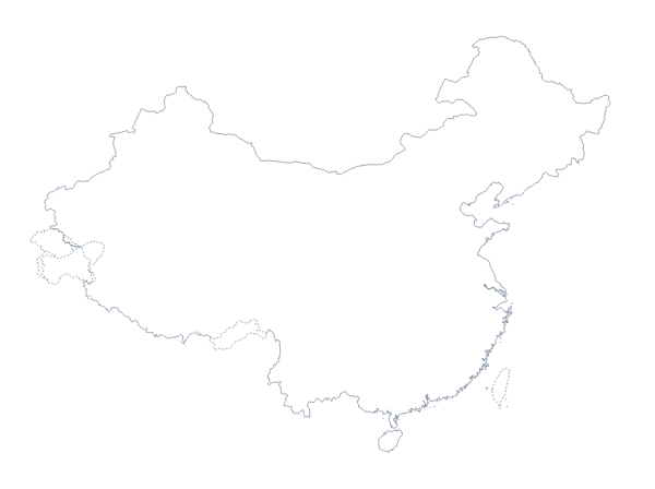
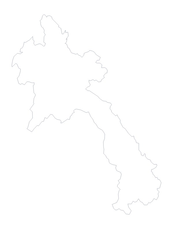
If a deck or a booklet covers the region, take the outlines of its neighbours too: the blank map of Cambodia and the blank map of Laos are separate pages, and each file can be coloured to match.
Adding more
Choose Customise this map for names, pins or a title in the editor. The printable map of Vietnam has ready PDFs with choices of paper and ink.
How to do it in MapMaker
- Choose With borders for the 63 areas, or Outline only for the shape alone.
- Download the PNG for a slide or worksheet, or the SVG for a design tool.
- Place the file in your document and number or colour the areas, using the list on this page as the key.
- Choose Customise this map if you want names, pins or a title on the map itself.
The 63 administrative areas on the map
A key for labelling the map by hand.
- An Giang
- Bà Rịa-Vũng Tàu
- Bắc Giang
- Bạc Liêu
- Bắc Ninh
- Bến Tre
- Bình Định
- Bình Dương
- Bình Phước
- Bình Thuận
- Cà Mau
- Cần Thơ
- Cao Bằng
- Da Nang
- Đắk Lắk
- Đắk Nông
- Điện Biên
- Đông Nam Bộ
- Đồng Tháp
- Gia Lai
- Hà Giang
- Hà Nam
- Hà Tĩnh
- Hải Dương
- Haiphong
- Hanoi
- Hậu Giang
- Ho Chi Minh
- Hòa Bình
- Khánh Hòa
- Kiên Giang
- Kon Tum
- Lai Châu
- Lâm Đồng
- Lạng Sơn
- Lào Cai
- Long An
- Nam Định
- Nghệ An
- Ninh Bình
- Ninh Thuận
- Northeast Vietnam
- Phú Thọ
- Phú Yên
- Quảng Bình
- Quảng Nam
- Quảng Ngãi
- Quảng Ninh
- Quảng Trị
- Red River Delta
- Sóc Trăng
- Sơn La
- Tây Ninh
- Thái Bình
- Thái Nguyên
- Thanh Hóa
- Thừa Thiên Huế
- Tiền Giang
- Trà Vinh
- Tuyên Quang
- Vĩnh Long
- Vĩnh Phúc
- Yên Bái
Facts about Vietnam
Vietnam is in South-Eastern Asia. The capital is Hanoi. The population is about 96 million (2019 estimate). Vietnam has an area of about 330,000 km². The largest cities are Ho Chi Minh City, Hanoi, Haiphong, Can Tho and Da Nang. It borders Cambodia, China and Laos. The map divides it into 63 administrative areas.
Maps of neighbouring places
Questions people ask
Is there a political blank map of Vietnam?
Yes: it is the With borders version, which draws the 63 administrative areas with no names on them. The list further down this page lets pupils check their labels.
Which file should I use in a worksheet, a slide or a design?
Use the PNG for a worksheet or slide: its background is transparent, so it takes the colour of the page. Use the SVG for Illustrator, Inkscape or Figma, and the PDF to print on A4 or Letter.
Is there an answer key for a labelling quiz?
Yes. The list of 63 areas lower on this page is the key. Number the areas on your worksheet, ask pupils to name them and check against the list.
Can I show the countries around Vietnam?
Not on this page, which draws Vietnam alone. Choose Customise this map and switch on Neighbours in the editor to show Cambodia, China and Laos in grey.