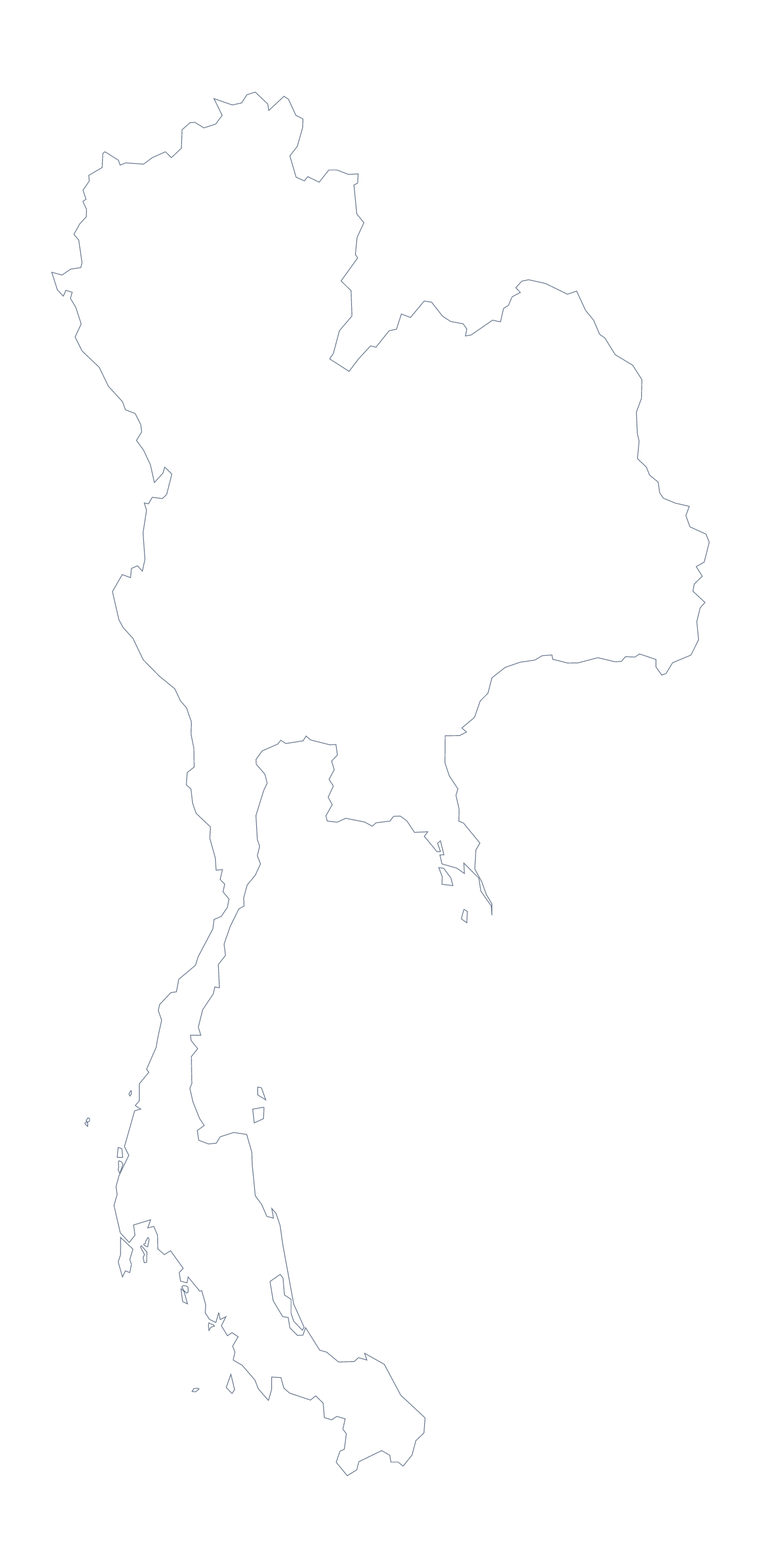
Blank map of Thailand
The outline, free as a PNG, SVG or PDF. Label it, colour it in or drop it into a slide.
Using a blank map of Thailand
The shape of Thailand can go into a slide, a worksheet or a design, and the version you want depends on how much detail the job needs. Outline only is the country with nothing drawn inside. With borders draws its 77 administrative areas. Both come as a PNG on a transparent background, an SVG and a PDF for A4 or Letter.
When the lines help and when they do not
With borders is the political blank map of Thailand, and with 77 areas it is a detailed one. It suits a design that highlights a few areas, such as Chiang Mai, Phuket or Bangkok, and a high-level quiz in which pupils name only some. It is too busy for young children and for a cover image, where Outline only is cleaner: one shape, easy to colour and to place on a slide.
In a design tool
Open the SVG in Illustrator, Inkscape or Figma and each area is a separate path. Fill the ones that matter in a strong colour, tint the rest in a quiet one, and enlarge to poster size, since the lines do not blur. Select by area, group by territory and the file becomes the base of a sales map or an infographic.
On a worksheet
Paste the PNG into a word processor, number eight areas and leave a line beside each for the name. Teachers can choose a different eight for each group and check answers against the list further down this page. For younger pupils, Outline only gives a single shape and no small areas to lose.
When you need more
Names, colours, pins or a title on the map need Customise this map, which opens the same outline in the editor. For print choices, in black and white or on A3, go to the printable map of Thailand.
How to do it in MapMaker
- Choose Outline only for the shape, or With borders for the 77 areas.
- Download the PNG for a slide or worksheet, the SVG for a design tool or a PDF for A4 or Letter.
- Place the file in your document and number the areas you want named.
- Check the answers against the list of areas below the map.
- Choose Customise this map for names, pins or a title on the map.
The 77 administrative areas on the map
A key for labelling the map by hand.
- Amnat Charoen
- Ang Thong
- Bangkok
- Bueng Kan
- Buri Ram
- Chachoengsao
- Chai Nat
- Chaiyaphum
- Chanthaburi
- Chiang Mai
- Chiang Rai
- Chon Buri
- Chumphon
- Kalasin
- Kamphaeng Phet
- Kanchanaburi
- Khon Kaen
- Krabi
- Lampang
- Lamphun
- Loei
- Lopburi
- Mae Hong Son
- Maha Sarakham
- Mukdahan
- Nakhon Nayok
- Nakhon Pathom
- Nakhon Phanom
- Nakhon Ratchasima
- Nakhon Sawan
- Nakhon Si Thammarat
- Nan
- Narathiwat
- Nong Bua Lam Phu
- Nong Khai
- Nonthaburi
- Pathum Thani
- Pattani
- Phang Nga
- Phatthalung
- Phayao
- Phetchabun
- Phetchaburi
- Phichit
- Phitsanulok
- Phra Nakhon Si Ayutthaya
- Phrae
- Phuket
- Prachin Buri
- Prachuap Khiri Khan
- Ranong
- Ratchaburi
- Rayong
- Roi Et
- Sa Kaeo
- Sakon Nakhon
- Samut Prakan
- Samut Sakhon
- Samut Songkhram
- Saraburi
- Satun
- Si Sa Ket
- Sing Buri
- Songkhla
- Sukhothai
- Suphan Buri
- Surat Thani
- Surin
- Tak
- Trang
- Trat
- Ubon Ratchathani
- Udon Thani
- Uthai Thani
- Uttaradit
- Yala
- Yasothon
Facts about Thailand
Thailand is in South-Eastern Asia. The capital is Bangkok. The population is about 70 million (2019 estimate). Thailand has an area of about 516,000 km². The largest cities are Bangkok, Chiang Mai, Samut Prakan, Nakhon Ratchasima and Hat Yai. It borders Cambodia, Laos, Malaysia and Myanmar. The map divides it into 77 administrative areas.
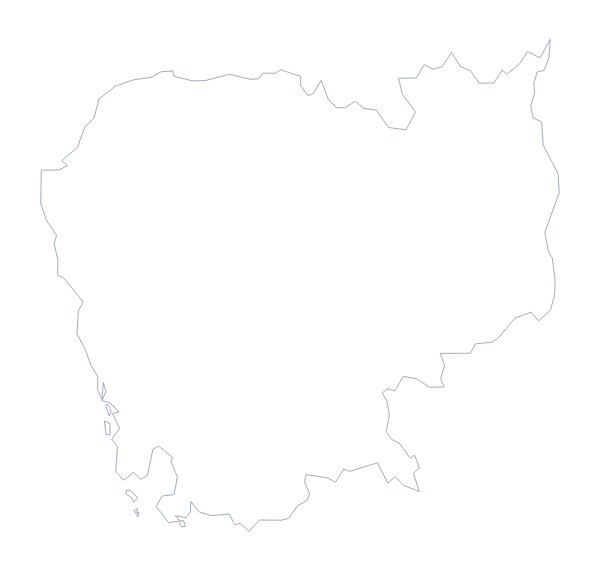
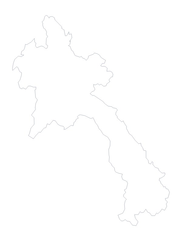
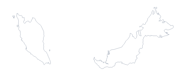
Maps of neighbouring places
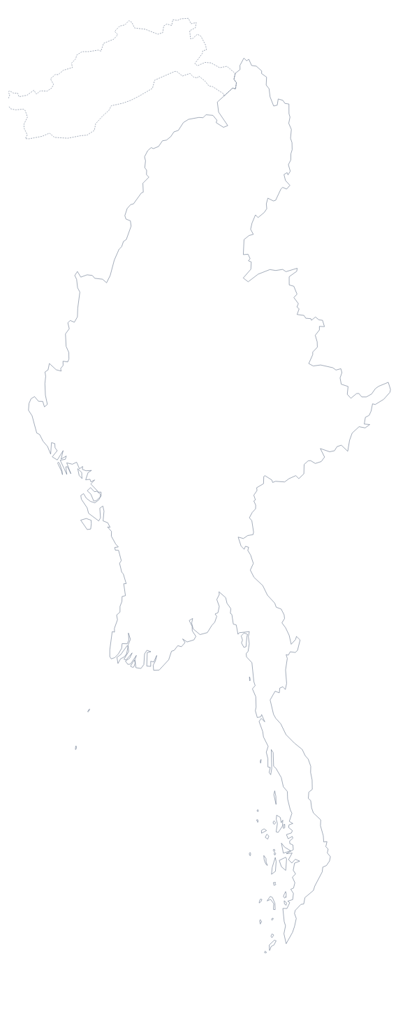
Questions people ask
What is the difference between Outline only and With borders?
Outline only is Thailand as a single shape with nothing inside it. With borders adds the lines between its 77 administrative areas, which makes it a denser, more detailed file.
Is there a political blank map of Thailand?
Yes, the With borders version. It draws all 77 administrative areas with no names on them, so the list further down this page serves as a key.
Can I make the outline bigger without it going blurry?
Yes. The SVG and the PDF are vector files and stay sharp at any size. The PNG is a fixed image, so keep it near the size you downloaded.
Which file should I use in a worksheet, a slide or a design?
Use the PNG in a worksheet or slide, as its transparent background takes the colour behind it. Use the SVG in Illustrator, Inkscape or Figma, and the PDF for A4 or Letter.