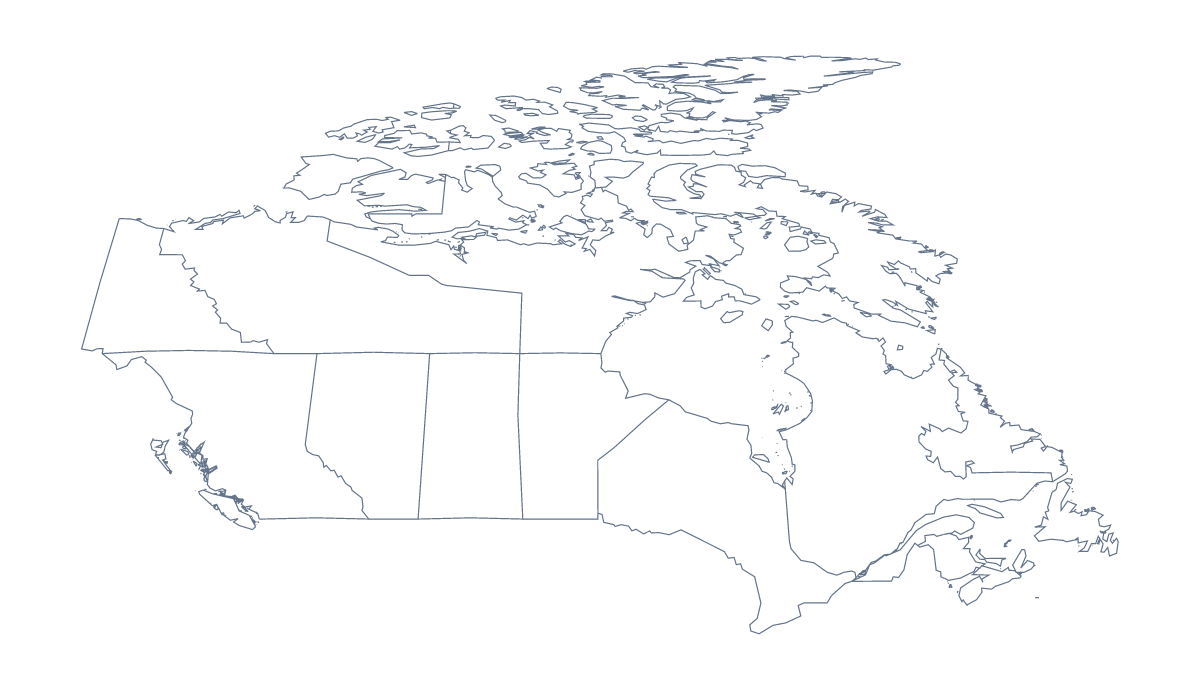
Blank map of Canadian provinces and territories
The outline, free as a PNG, SVG or PDF. Label it, colour it in or drop it into a slide.
Using a blank map of Canadian provinces and territories
Anyone who needs the shape of Canada's provinces and territories without labels will want one of two versions. With borders draws all 10 provinces and 3 territories as separate shapes and comes first on this page; Outline only is the shape of the country with no lines inside it. Each comes as a PNG on a transparent background, an SVG and a PDF.
A map for a briefing or a report
Put the With borders PNG on a page of a report and write a figure or a short note beside each province and territory it covers, drawing a thin line from each note to its shape in your layout tool. Manitoba, Quebec, Nova Scotia, Yukon and Alberta make a quick set of five to try. The list of provinces and territories further down this page gives the spellings.
On a slide or in a design tool
The PNG's transparent background takes the colour of the slide, so a title slide in your brand blue shows only the shape of the country. In Illustrator, Inkscape or Figma, open the SVG and give the lines a heavier weight or a brand colour for a report cover. A map of this shape also works behind a few figures on a results slide, with the numbers laid over the shapes they belong to.
Which one to take
The political blank map of the Canadian provinces and territories is the With borders version: the divisions drawn in and no names. Outline only suits a silhouette or a logo sketch; the blank map of Canada has that outline on a page of its own. Take the SVG when the file will be scaled, and the PDF for A4 or Letter. For black and white copies and colouring before printing, use the printable map of Canadian provinces and territories.
How to do it in MapMaker
- Choose With borders for the 10 provinces and 3 territories, or Outline only for the country's shape.
- Pick the PNG for a worksheet or a slide, or the SVG for a design tool.
- Take PDF, A4 or PDF, Letter when the outline is going straight to a printer.
- Write a note beside each province or territory your page covers, and check each spelling against the list on this page.
- Choose Customise this map for names, colours, pins or a title, then download from the editor.
The 10 provinces and 3 territories on the map
A key for labelling the map by hand.
- Alberta
- British Columbia
- Manitoba
- New Brunswick
- Newfoundland and Labrador
- Northwest Territories
- Nova Scotia
- Nunavut
- Ontario
- Prince Edward Island
- Quebec
- Saskatchewan
- Yukon
Facts about Canadian provinces and territories
This map shows 10 provinces and 3 territories in Northern America. Together they have an area of about 9,890,000 km². The capital is Ottawa. The population is about 38 million (2019 estimate). The largest cities are Toronto, Montréal, Vancouver, Ottawa and Calgary.
Questions people ask
Is there a political blank map of the Canadian provinces and territories?
Yes: the With borders version, which this page puts first. It draws 10 provinces and 3 territories as separate shapes with no names, ready to label, number for a quiz or colour in.
Does the PNG have a transparent background?
Yes. Both versions come as a PNG on a transparent background, so the shapes sit on whatever colour or picture is behind them in your worksheet or slide.
How many provinces and territories does the blank map show?
The With borders version shows 10 provinces and 3 territories. The list further down this page names every one of them, so it doubles as the answer key for a labelling task.
Is there a blank map of Canada on its own?
Yes. Outline only on this page is the country's shape without the province lines, and Canada has a blank page of its own as well, with the same two versions.