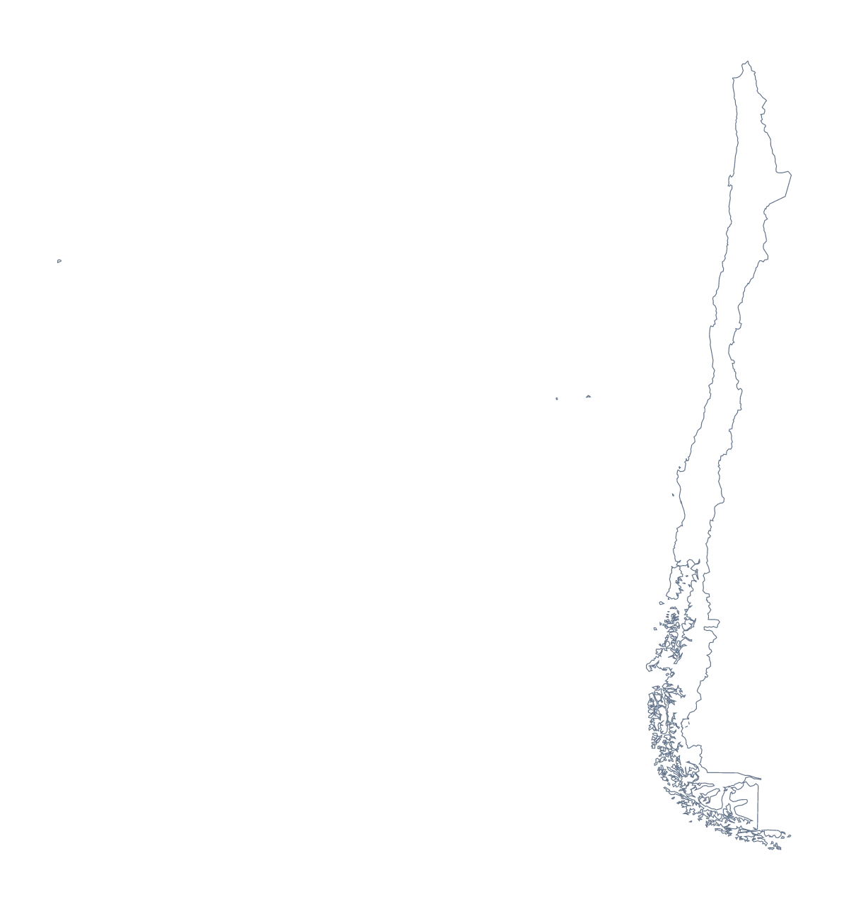
Blank map of Chile
The outline, free as a PNG, SVG or PDF. Label it, colour it in or drop it into a slide.
Using a blank map of Chile
People who download a blank map of Chile are often making teaching material or a graphic: a handout for a Spanish or geography class, a map for a talk, a shape to trace for a display. Outline only is Chile with nothing inside it, and With borders adds its 16 administrative areas. Each is a PNG, an SVG or a PDF.
A slide or a handout
Drop the With borders PNG onto a slide at about half the width and set your text in the other half. Because the PNG is transparent, you can place it on a tinted box or a photograph and the page still looks finished. Handouts work the same way: the shape at the top, your own notes below.
Outline only is the version for a plain backdrop behind a title or a table of figures, where the inner lines would compete with the text.
Posters and graphics
In Illustrator, Inkscape or Figma, the SVG holds the outline as vector lines, so Chile can be enlarged for a banner without blurring. Fill each area with a shade from a brand palette, or take Outline only and trace it for a stencil, a logo sketch or a cut-out for a classroom display.
Which version and where next
The political blank map of Chile is the With borders version. Pick Outline only when inner lines would distract. For print choices such as black and white or colouring before you print, use the printable map of Chile. To colour areas and add labels, choose Customise this map.
How to do it in MapMaker
- Choose With borders for the 16 administrative areas, or Outline only for a plain shape.
- Download the PNG, SVG or a PDF for A4 or Letter.
- Place the PNG on your slide or handout and resize it from a corner, so it keeps its proportions.
- Take the names of the areas for your captions from the list on this page.
- Choose Customise this map if the shape needs names, colours or a title.
The 16 administrative areas on the map
A key for labelling the map by hand.
- Antofagasta
- Araucanía
- Arica y Parinacota
- Atacama
- Aysén
- Biobío
- Coquimbo
- Los Lagos
- Los Ríos
- Magellan and the Chilean Antarctic
- Maule
- Ñuble
- O'Higgins
- Santiago
- Tarapacá
- Valparaíso
Facts about Chile
Chile is in South America. The capital is Santiago. The population is about 19 million (2019 estimate). Chile has an area of about 736,000 km². The largest cities are Santiago, Concepción, Valparaíso, Viña del Mar and Antofagasta. It borders Argentina, Bolivia and Peru. The map divides it into 16 administrative areas.
Maps of neighbouring places
Questions people ask
What is the difference between Outline only and With borders?
Outline only is the shape of Chile with nothing inside. With borders adds the lines between its 16 administrative areas, which is the political blank map of Chile. Neither version has names.
Which file should I use in a worksheet, a slide or a design?
The PNG for a worksheet or slide, because its background is transparent; the SVG for Illustrator, Inkscape or Figma; the PDF when you want the outline on A4 or Letter as it stands.
Is there an answer key for a labelling quiz?
Yes. The list of administrative areas further down this page names all 16 that With borders draws, so you can number a few on your worksheet and mark answers against it.
How do I add names, a title or my own colours?
Choose Customise this map. The editor opens the same outline, where you can show names, add a title on the Canvas tab, colour areas and download a PNG, JPG or SVG.