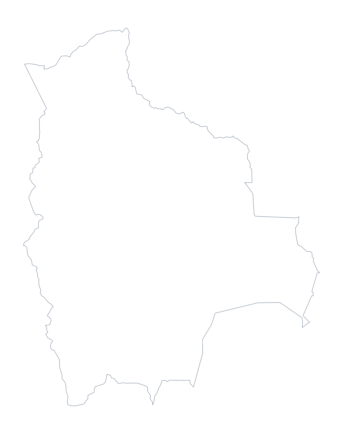
Blank map of Bolivia
The outline, free as a PNG, SVG or PDF. Label it, colour it in or drop it into a slide.
Using a blank map of Bolivia
A blank map of Bolivia is a starting point for a handful of small jobs: a revision card, a lesson starter, a slide with a few figures beside the shape, a poster cut from the SVG. There are two versions. Outline only is the country with nothing inside it, and With borders adds its 9 administrative areas. Each comes as a PNG, an SVG or a PDF.
A revision card and a starter slide
Nine areas fit on one revision card. Put the With borders PNG at the centre of the card, leave the margins for your own notes and print it small. The list further down this page gives the names to copy into the margins.
For a lesson starter, show the outline alone on the first slide and ask the class what they already know about its shape before any names go in.
Slides and design work
On a slide, the transparent PNG lets Bolivia sit on your own background colour, with room beside it for a title or a few figures. In Illustrator, Inkscape or Figma, the SVG stays sharp however far you scale it, so each area can take a fill, a pattern or a brand colour, or the outline can be traced for a poster or a craft project.
Which version
The political blank map of Bolivia is the With borders version, drawn with no names. Choose Outline only for a silhouette, a logo sketch or a cover, where lines inside the shape would get in the way. For a sheet with colour or black-and-white choices, use the printable map of Bolivia; to colour areas and add names, choose Customise this map.
How to do it in MapMaker
- Choose With borders for the 9 administrative areas, or Outline only for the shape alone.
- Download the PNG for a document or slide, the SVG for a design tool or a PDF for A4 or Letter.
- Place the PNG on your card, page or slide.
- Take the names for your notes from the list on this page.
- Choose Customise this map when you need names, a title or the countries around Bolivia.
The 9 administrative areas on the map
A key for labelling the map by hand.
- Beni
- Chuquisaca
- Cochabamba
- La Paz
- Oruro
- Pando
- Potosí
- Santa Cruz
- Tarija
Facts about Bolivia
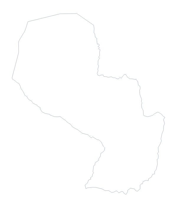
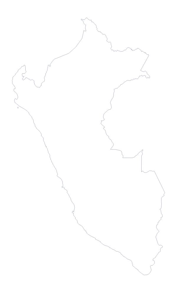
Bolivia is in South America. The capital is Sucre. The population is about 12 million (2019 estimate). Bolivia has an area of about 1,090,000 km². The largest cities are Santa Cruz, La Paz, Cochabamba, Oruro and Santa Ana. It borders Argentina, Brazil, Chile, Paraguay and Peru. The map divides it into 9 administrative areas.
Maps of neighbouring places
Questions people ask
What is the difference between Outline only and With borders?
Outline only is the shape of Bolivia with nothing inside it. With borders adds the lines between its 9 administrative areas, which makes it the political blank map of Bolivia. Neither version has any names on it.
Does the blank map show the names of the administrative areas?
No, by design. The shapes are there for you to label. The list of areas further down this page names them all, so it works as the key when you check a worksheet.
Can I make the outline bigger without it going blurry?
Yes. The SVG and the PDF are vector files, so the lines stay sharp at any size. The PNG suits a worksheet or a slide at the size you place it.
Can I show the countries around Bolivia?
This page gives the outline only. Choose Customise this map to open it in the editor and switch on Neighbours, which greys in Peru, Brazil and the rest beside Bolivia.