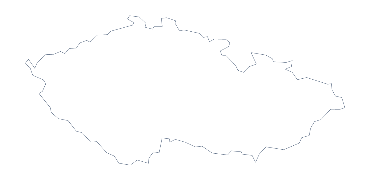
Blank map of the Czech Republic
The outline, free as a PNG, SVG or PDF. Label it, colour it in or drop it into a slide.
Using a blank map of Czechia
The shape of Czechia ends up in slides about a market, in worksheets, on posters and in school projects. This page gives it to you as a file in two versions: Outline only, and With borders, which draws the 14 administrative areas. Each comes as a PNG on a transparent background, an SVG and a PDF for A4 or Letter.
On a slide or in a design
The transparent PNG of Outline only sits on your slide's own colour with no white box around it, which leaves room beside it for a title or a few figures. Open the SVG in Illustrator, Inkscape or Figma to give the shape a heavier line, a fill or a pattern for a poster or a report cover.
Labelling and quizzes
Place the PNG of With borders in your worksheet and put numbered boxes beside a few areas, such as Zlín, Liberec and Vysočina, for pupils to write in. The list further down this page is your answer sheet. For a quicker task, copy the With borders PNG onto a slide, fill one area at a time and ask the class which it is.
Which version
The political blank map of Czechia is the With borders version: the 14 areas drawn in, with no names. Outline only is the plain silhouette, best for designs and title slides where inner lines would get in the way. The PDF prints at 100% on A4 or Letter; for black and white or a coloured sheet, use the printable map of Czechia.
When the map needs names, a title or colours of its own, Customise this map opens the same outline in the editor.
How to do it in MapMaker
- Choose With borders for the 14 administrative areas, or Outline only for the plain shape.
- Download the PNG for a slide or worksheet, the SVG for a design tool or a PDF for A4 or Letter.
- Place the file in your own document and resize it from a corner so the proportions hold.
- Number the areas you want pupils to find and keep the list on this page as the answers.
- Choose Customise this map for names, a title or colours, and download from the editor.
The 14 administrative areas on the map
A key for labelling the map by hand.
- Central Bohemian
- Hradec Králové
- Karlovy Vary
- Liberec
- Moravian-Silesian
- Olomouc
- Pardubice
- Plzeň-
- Prague
- South Bohemian
- South Moravian
- Ústí nad Labem
- Vysočina
- Zlín
Facts about Czechia
Czechia is in Eastern Europe. The capital is Prague. The population is about 11 million (2019 estimate). Czechia has an area of about 78,500 km². The largest cities are Prague, Ostrava, Brno, Pizen and Zlín. It borders Austria, Germany, Poland and Slovakia. The map divides it into 14 administrative areas.
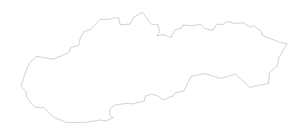
Maps of neighbouring places
Questions people ask
Is there a political blank map of Czechia?
Yes: With borders is the political blank map. It draws the 14 administrative areas inside the outline and carries no names, so you add the labels yourself, using the list on this page as a key.
Does the PNG have a transparent background?
Yes. Everything around the shape is see-through, so the outline of Czechia takes the colour of the slide, worksheet box or poster you place it on.
Can I show the countries around Czechia?
Not on this page, which shows the country alone. The editable map of Czechia has a Neighbours switch that draws Germany, Austria, Poland and Slovakia in grey, and you can download the result from there.
Which file should I use in a worksheet, a slide or a design?
Use the PNG for a worksheet or slide, because it drops straight in. Use the SVG for Illustrator, Inkscape or Figma, where it can be restyled, and the PDF when you want the outline on paper.