Blank map of Poland
The outline, free as a PNG, SVG or PDF. Label it, colour it in or drop it into a slide.
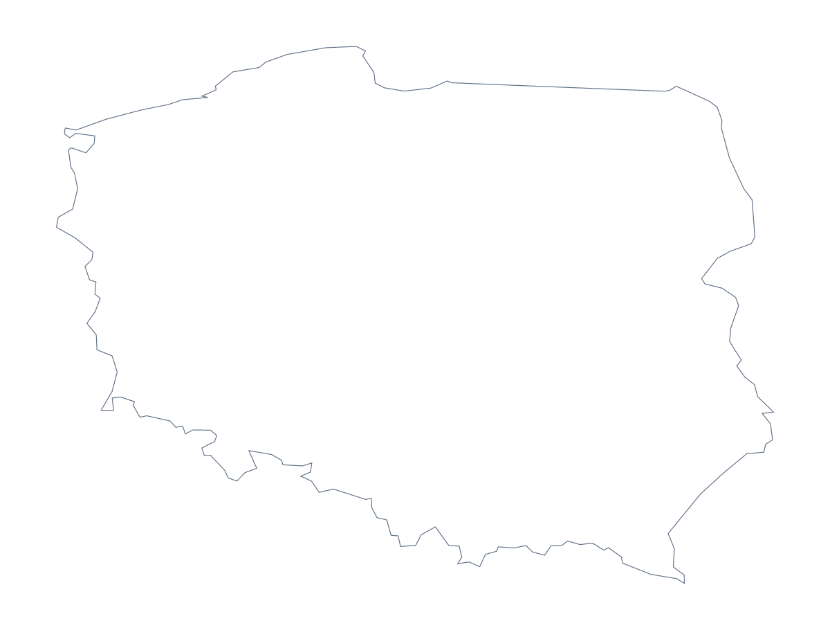
Using a blank map of Poland
For a slide, a worksheet or a design that needs Poland, this page offers the shape in two versions. Outline only is the country with nothing drawn inside it, and With borders adds its 16 administrative areas. Each comes as a PNG on a transparent background, an SVG or a PDF.
On a slide, behind the figures
Place the PNG on a title slide and let your theme colour show around it. The country then holds a heading and two or three figures beside it. If the slide is about a sales split, use With borders and colour the areas in your slide tool or in the editor. Because the background is transparent, the same PNG sits on a light slide or a dark one.
A labelling sheet
A teacher building a handout can place With borders in a word processor and add a word bank of six or eight areas, say Masovian, Podlaskie, Lubusz and Lesser Poland, with a line from each name to its area. Pupils check their lines against the list on this page. For younger pupils, Outline only can head a project page, with a title and a few lines in their own handwriting beneath it.
Which version
The political blank map of Poland is the With borders version, with area lines and no names. Outline only suits a silhouette or a logo sketch. For ink and paper options, use the printable map of Poland; for names or colours, Customise this map opens the outline in the editor. The PDF prints at 100% on A4 or Letter.
How to do it in MapMaker
- Choose With borders for the 16 areas, or Outline only for the country's shape.
- Pick PNG for a slide or document, SVG for a design tool or a PDF for A4 or Letter.
- Place the file on your page and resize it from a corner.
- Set a word bank of areas for a quiz and check answers against the list on this page.
- Choose Customise this map when it needs names, colours or a title.
The 16 administrative areas on the map
A key for labelling the map by hand.
- Greater Poland Voivodeship
- Kuyavian-Pomeranian Voivodeship
- Lesser Poland Voivodeship
- Łódź Voivodeship
- Lower Silesian Voivodeship
- Lublin Voivodeship
- Lubusz Voivodeship
- Masovian Voivodeship
- Opole Voivodeship
- Podkarpackie Voivodeship
- Podlaskie Voivodeship
- Pomeranian Voivodeship
- Silesian Voivodeship
- Świętokrzyskie Voivodeship
- Warmian-Masurian Voivodeship
- West Pomeranian Voivodeship
Facts about Poland
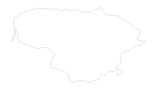
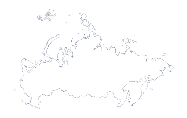
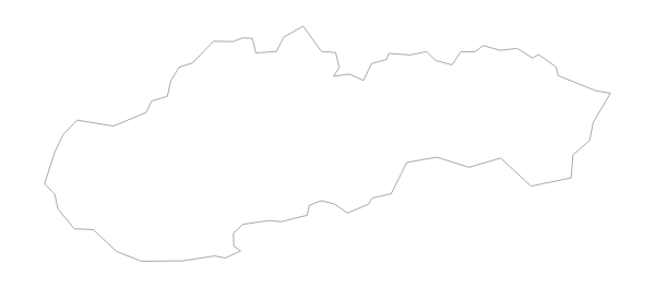
Poland is in Eastern Europe. The capital is Warsaw. The population is about 38 million (2019 estimate). Poland has an area of about 312,000 km². The largest cities are Katowice, Warsaw, Łódź, Kraków and Gdańsk. It borders Belarus, Czechia, Germany, Lithuania, Russia, Slovakia and Ukraine. The map divides it into 16 administrative areas.
Maps of neighbouring places
Questions people ask
Is there a political blank map of Poland?
Yes. With borders is the political blank map of Poland: it draws the 16 administrative areas with no names, and the list further down this page names each one.
What is the difference between Outline only and With borders?
Outline only is the shape of Poland with nothing inside it. With borders adds the lines of its 16 administrative areas. Neither version has any names.
Does the PNG have a transparent background?
Yes. Everything around the outline is see-through, so Poland takes the colour of whatever you place it on.
Can I make the outline bigger without it going blurry?
Yes, with the SVG or the PDF, which are vector files and keep their lines sharp at any size.