Blank map of Slovakia
The outline, free as a PNG, SVG or PDF. Label it, colour it in or drop it into a slide.
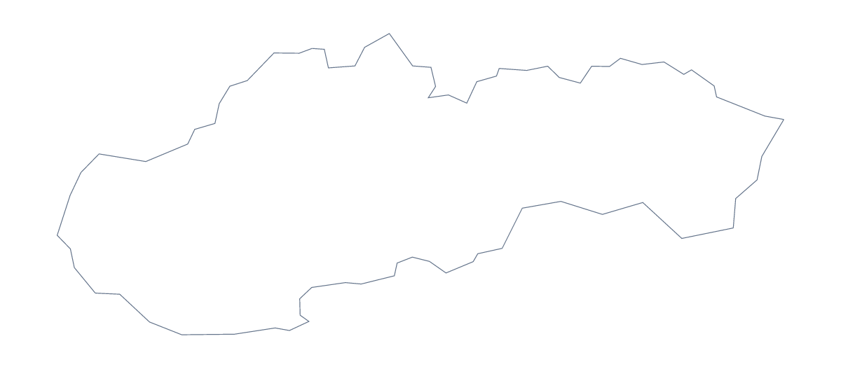
Using a blank map of Slovakia
Slovakia is a manageable outline for a worksheet, a title slide or a piece of design. You choose the shape, Outline only or With borders, which draws its 8 administrative areas, and the format: a PNG with a transparent background, an SVG or a PDF on A4 or Letter.
Design and slides first
On a slide, the PNG sits on any background colour, so a deck in dark blue shows only the shape of Slovakia, not a white rectangle. Put the With borders PNG behind a few figures, or beside a column of text, and let the transparent background carry the slide's own colour. In Illustrator, Inkscape or Figma, the SVG goes further: change the line weight, delete the inner lines for a plain silhouette or cut a single area out as an icon.
Worksheets
For a labelling task, place the With borders PNG in a word processor and draw an arrow from each area to an empty box. The list of areas on this page checks the answers. For a colouring exercise, ask pupils to design their own key, say a colour for each season they would visit in and apply it area by area.
Picking the version
The political blank map of Slovakia is the With borders version. Outline only is the one for a silhouette or younger children. Printing the PDF needs only A4 or Letter and 100%; for black and white or colouring before printing, go to the printable map of Slovakia. For names and a title, choose Customise this map.
How to do it in MapMaker
- Pick With borders for the 8 areas, or Outline only for the shape alone.
- Download the PNG for a slide or worksheet, the SVG for a design tool or PDF, A4 or PDF, Letter to print.
- Insert the file, resize it from a corner and add your own numbers or labels.
- Choose Customise this map for names, colours or a title, and download from the editor.
The 8 administrative areas on the map
A key for labelling the map by hand.
- Banská Bystrica
- Bratislava
- Košice
- Nitra
- Prešov
- Trenčín
- Trnava
- Žilina
Facts about Slovakia
Slovakia is in Eastern Europe. The capital is Bratislava. The population is about 5.5 million (2019 estimate). Slovakia has an area of about 48,300 km². The largest cities are Bratislava, Košice, Prešov, Žilina and Banská Bystrica. It borders Austria, Czechia, Hungary, Poland and Ukraine. The map divides it into 8 administrative areas.
Maps of neighbouring places
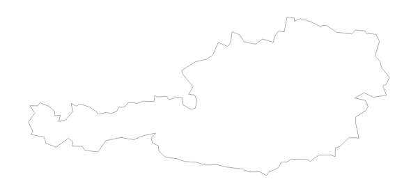
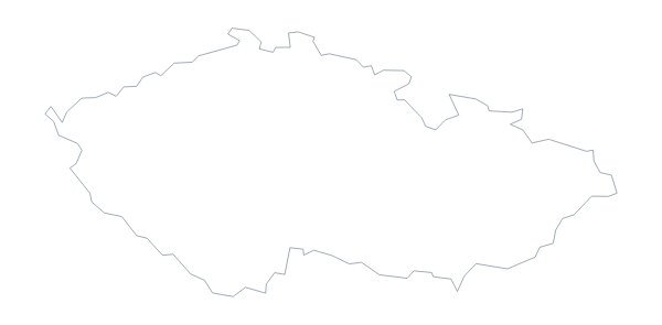
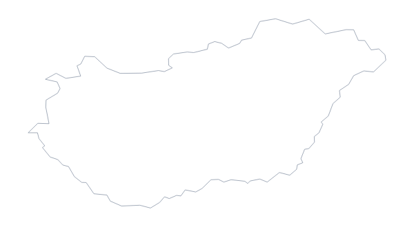
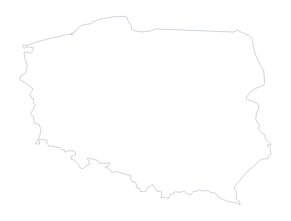
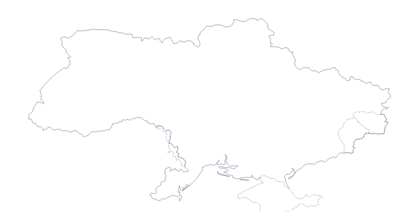
Questions people ask
How many administrative areas does the blank map of Slovakia show?
The With borders version draws 8, each a separate shape, and none has a name on it. Outline only shows no inner lines at all, only the shape of Slovakia.
Is there a political blank map of Slovakia?
Yes, and it is the With borders version: the 8 areas drawn in with no names. The list further down this page is the key for checking pupils' labels.
Can I open the SVG in Illustrator, Inkscape or Figma?
Yes. The SVG is a vector file, so Slovakia and its area lines can be recoloured, thickened or traced in a design tool and scaled up without blurring.
Can I colour the map in before I download it?
Not on this page, which gives the outline as it is. Choose Customise this map to colour areas in the editor, or use the bar on the printable or editable page for a quick fill.