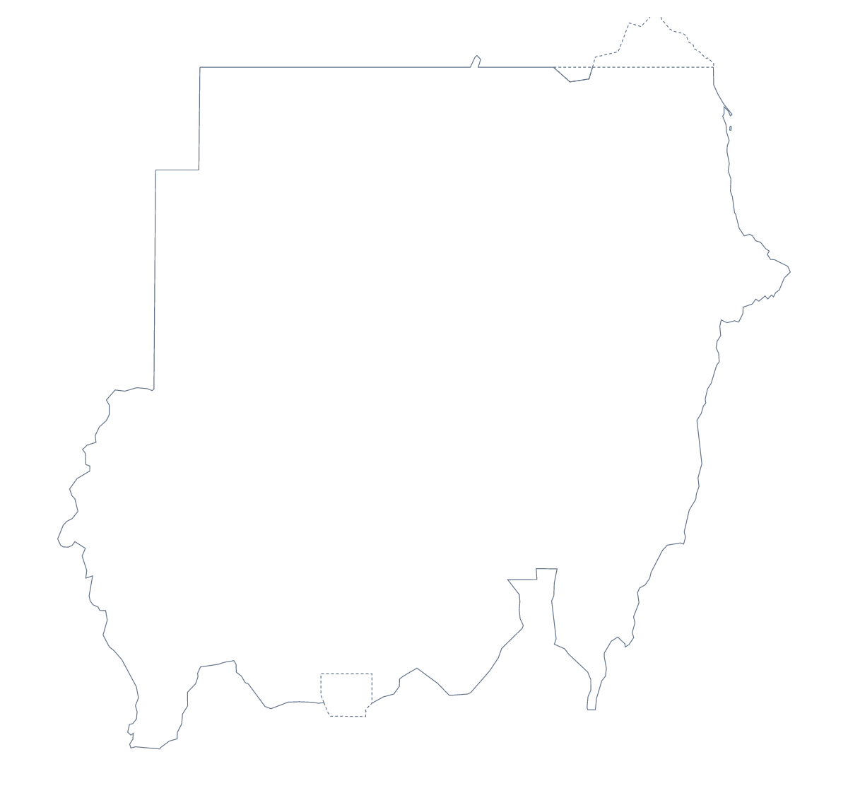
Blank map of Sudan
The outline, free as a PNG, SVG or PDF. Label it, colour it in or drop it into a slide.
Using a blank map of Sudan
Sudan covers a lot of page, and its blank map gets used as a backdrop as often as a worksheet: a briefing cover, a labelling sheet, an infographic with the shape in grey behind the numbers. Two versions are here. Outline only is the country as a single shape, and With borders adds its 17 administrative areas, all without names.
As a backdrop
Put the PNG at the back of a slide or a report cover with a low-contrast fill, and the transparent background lets your own colour show around it. Then place short labels over the points your report is about. Because the file has no text of its own, whatever you write is the only text on the map.
As a briefing page
Use With borders and number a few areas, perhaps Red Sea, River Nile, Sennar, Blue Nile and Northern, with a numbered note for each under the map. The list of areas below the steps gives the spellings. For a plain cover, use Outline only with the title across it.
For designers
The SVG gives each of the 17 areas as a separate shape in Illustrator, Inkscape or Figma. Give a few of them a bold colour and the others a light tint for a one-image summary, or thicken the outline for a poster.
Choosing a version
The political blank map of Sudan is the With borders version. Outline only is the better choice for a silhouette, a cover or a logo sketch. PNG suits worksheets and slides, SVG suits design tools, and PDF fits A4 or Letter as drawn. For paper choices see the printable map of Sudan, and for names or colours, Customise this map opens the outline in the editor.
How to do it in MapMaker
- Choose With borders for the 17 areas, or Outline only for the plain shape of Sudan.
- Pick PNG for a slide or worksheet, SVG for a design tool or a PDF for A4 or Letter.
- Place the file on your page and resize it from a corner to keep the proportions.
- Spell your labels from the list of areas further down this page.
- Choose Customise this map to add names, colours or a title in the editor.
The 17 administrative areas on the map
A key for labelling the map by hand.
- Al Jazirah
- Al Qadarif
- Blue Nile
- Central Darfur
- East Darfur
- Kassala
- Khartoum
- North Darfur
- North Kordofan
- Northern
- Red Sea
- River Nile
- Sennar
- South Darfur
- South Kordofan
- West Soudan
- White Nile
Facts about Sudan
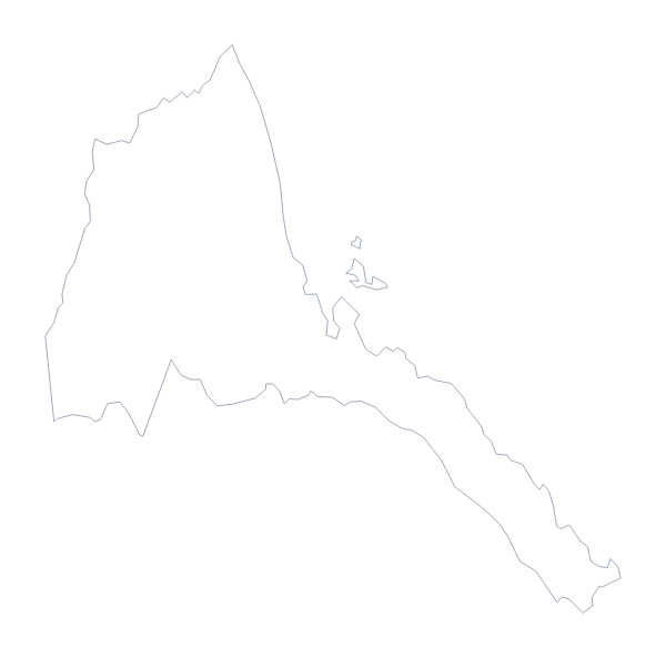
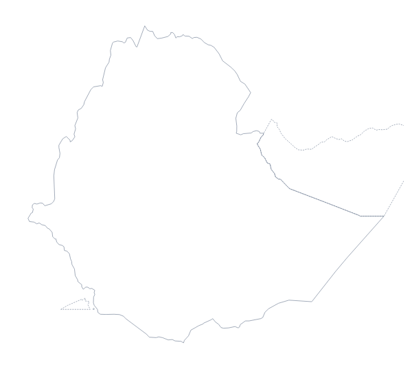
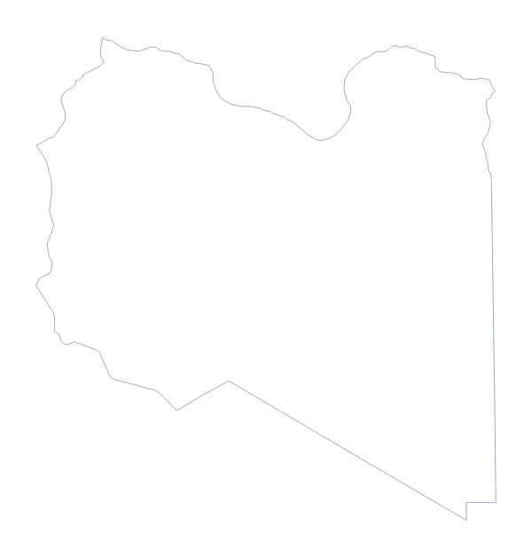
Sudan is in Northern Africa. The capital is Khartoum. The population is about 43 million (2019 estimate). Sudan has an area of about 1,860,000 km². The largest cities are Khartoum, Omdurman, Port Sudan, Kassala and Al-Ubayyid. It borders Central African Republic, Chad, Egypt, Eritrea, Ethiopia, Libya and South Sudan. The map divides it into 17 administrative areas.
Maps of neighbouring places
Questions people ask
What is the difference between Outline only and With borders?
Outline only is the shape of Sudan with nothing inside it. With borders draws the lines of all 17 administrative areas. Neither version has names, since a blank map leaves them to you.
Is there an answer key for a labelling quiz?
Yes. The list of administrative areas further down this page names all 17 that the With borders version draws. Number the ones you want found and check answers against the list.
Can I open the SVG in Illustrator, Inkscape or Figma?
Yes. It is a vector file, so the outline of Sudan and the area lines stay sharp at any size, and each can be recoloured or traced in a design tool.
Can I colour the map in before I download it?
Not on this page, which gives the outline as it is. Use the editable map of Sudan to colour areas first, or Customise this map to open the outline in the editor.