Blank map of the Republic of the Congo
The outline, free as a PNG, SVG or PDF. Label it, colour it in or drop it into a slide.
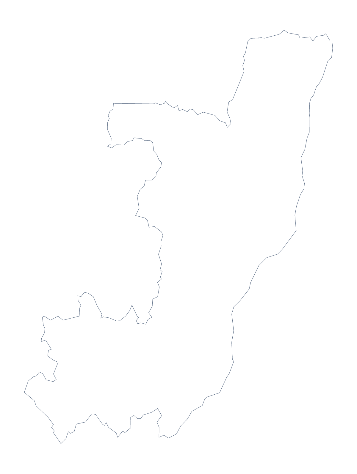
Using a blank map of Congo
This page has the shape of the Republic of the Congo as a file: Outline only, and With borders, which draws its 12 administrative areas. Each is a PNG on a transparent background, an SVG and a PDF. They are made for putting into your own slide, worksheet or illustration.
Two outlines on one slide
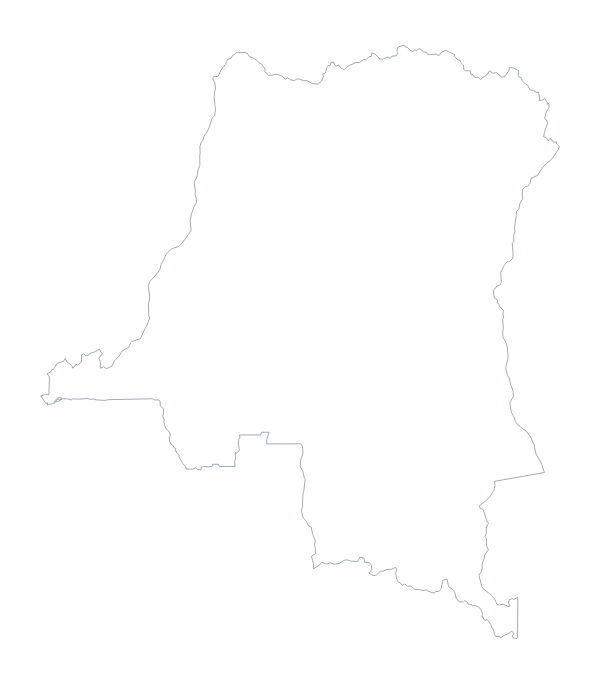
A common task is a slide that sets the Republic of the Congo beside its namesake. Download the PNG here and the one from the blank map of the Democratic Republic of the Congo, put them side by side and colour or label each in your slide tool. The transparent backgrounds let both sit on the same colour.
Briefings and design
For a regional briefing, take the With borders PNG and lay text boxes over a few areas such as Likouala, Sangha, Pool, Niari and Kouilou, each with a line of notes. The list further down gives the spellings.
A designer can open the SVG in Illustrator or Inkscape, remove the area lines to leave a plain silhouette and fill the shape with a brand colour for a cover or a poster. Where the inner lines would crowd a small slide, the outline alone keeps the shape clear.
Which version
The political blank map is With borders, drawn with areas and no names. Outline only is the shape alone, for a silhouette or a first colouring task.
Files
PNG for slides and worksheets, SVG for design and enlargement, PDF for A4 or Letter. Choose Customise this map to add names, a title or pins in the editor. For a sheet to print, see the printable map of the Republic of the Congo.
How to do it in MapMaker
- Choose With borders for the 12 administrative areas, or Outline only for the shape alone.
- Download the PNG for a slide, the SVG for a design tool or a PDF for A4 or Letter.
- Place the outline on your slide, next to the second country if you are comparing the two.
- Lay text boxes over the areas your briefing covers and spell them from the list further down.
- For names or a title on the map, choose Customise this map.
The 12 administrative areas on the map
A key for labelling the map by hand.
- Bouenza
- Brazzaville
- Cuvette
- Cuvette-Ouest
- Kouilou
- Lékoumou
- Likouala
- Niari
- Plateaux
- Pointe-Noire
- Pool
- Sangha
Facts about Congo
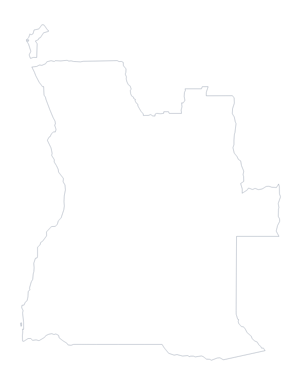
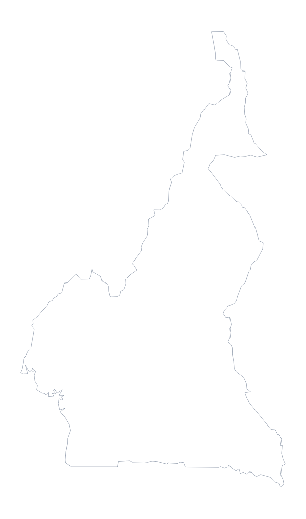
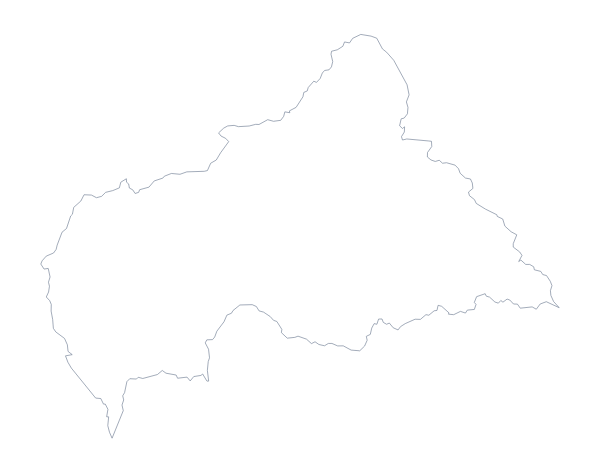
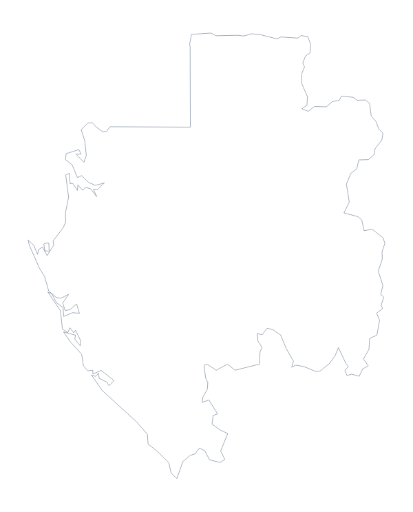
Congo is in Middle Africa. The capital is Brazzaville. The population is about 5.4 million (2019 estimate). Congo has an area of about 346,000 km². The largest cities are Brazzaville, Pointe-Noire, Loubomo, Kayes and Owando. It borders Angola, Cameroon, Central African Republic, Democratic Republic of the Congo and Gabon. The map divides it into 12 administrative areas.
Maps of neighbouring places
Questions people ask
Which Congo is this blank map of?
The Republic of the Congo, whose capital is Brazzaville. The Democratic Republic of the Congo, with Kinshasa as capital, has a blank map of its own. Both come in the same two versions.
Is there a political blank map of the Republic of the Congo?
Yes. It is the With borders version: the 12 administrative areas drawn with no names. The list of areas on this page works as the answer sheet when you label it.
Does the PNG have a transparent background?
Yes. Both versions come as a PNG on a transparent background, so the colour of your slide or page shows around the outline.
Can I open the SVG in Figma or Inkscape?
Yes. It is a vector file and opens in Figma, Inkscape and Illustrator. The country can be scaled up without blurring and its area lines restyled.