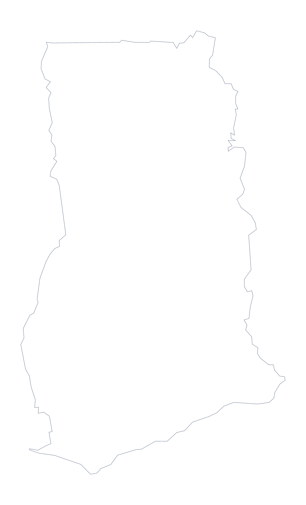
Blank map of Ghana
The outline, free as a PNG, SVG or PDF. Label it, colour it in or drop it into a slide.
Using a blank map of Ghana
When a slide, a poster or a worksheet needs Ghana and nothing else, take the outline from here. Outline only is the country on its own. With borders draws its 10 administrative areas. Each comes as a PNG, an SVG and a PDF.
A poster built from the SVG
For a design, With borders in SVG form is the richer file. In Figma or Illustrator each area is its own shape, so Ashanti, Volta and Upper West can take different fills, and a colour that runs from light to dark can echo a brand palette. Because it is vector, the same file can be a small icon or a wall-sized poster.
On a slide
A transparent PNG lets the slide's own colour fill the sea around Ghana. Put it on the left and keep three figures or a short list on the right. A dark slide with a pale outline reads well, and the shape needs no frame.
Labelling in a worksheet
Insert With borders in your document and add a numbered circle in each of six areas of your choice. A word bank beside it gives pupils the names, and the list further down this page is the answer sheet. A second task: use Outline only and ask pupils to pencil in the three neighbouring countries from the facts section, Burkina Faso, Côte d'Ivoire and Togo.
More than the outline
When you want names, cities or colours on the map itself, Customise this map opens the same outline in the editor. For print choices, go to the printable map of Ghana; for ready-made colouring by territory, the editable map of Ghana.
How to do it in MapMaker
- Choose With borders for the 10 areas, or Outline only for the shape of Ghana alone.
- Download the PNG for a slide, the SVG for a design tool or the PDF for A4 or Letter.
- Place the file in your document and number the areas to be named.
- Check answers against the list of administrative areas further down this page.
- For names, pins or a title on the map itself, choose Customise this map.
The 10 administrative areas on the map
A key for labelling the map by hand.
- Ashanti
- Brong-Ahafo
- Central
- Eastern
- Greater Accra
- Northern
- Upper East
- Upper West
- Volta
- Western
Facts about Ghana
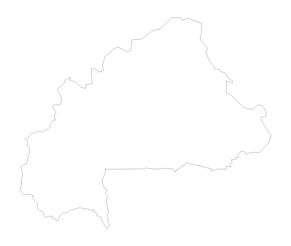
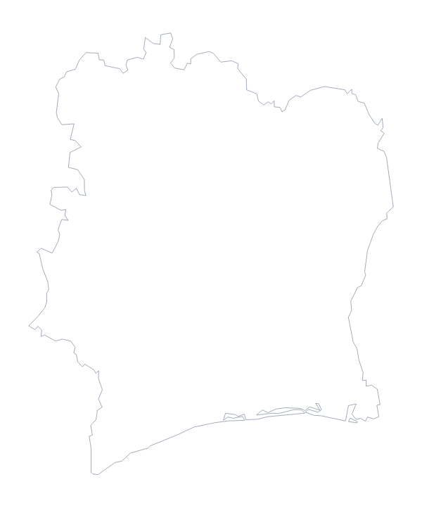
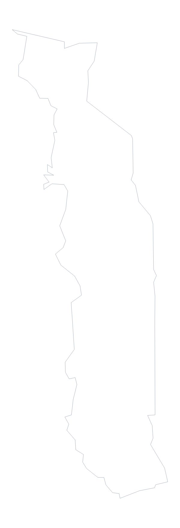
Ghana is in Western Africa. The capital is Accra. The population is about 30 million (2019 estimate). Ghana has an area of about 240,000 km². The largest cities are Accra, Kumasi, Tamale, Sekondi and Tema. It borders Burkina Faso, Côte d'Ivoire and Togo. The map divides it into 10 administrative areas.
Maps of neighbouring places
Questions people ask
Is there a political blank map of Ghana?
Yes, it is the With borders version. It draws the 10 administrative areas with no names, so you can add numbers in your own document and label each one from the key on this page.
Does the PNG have a transparent background?
Yes. The PNG of Ghana has no background colour of its own, so a slide, a coloured panel or a photograph shows through everywhere outside the outline.
Which file should I use in a worksheet, a slide or a design?
The PNG for a worksheet or a slide, the SVG for Illustrator, Inkscape or Figma and for scaling up, and the PDF when you want the outline on A4 or Letter as drawn here.
Can I show the countries around Ghana?
Not on this page. Choose Customise this map, switch on Neighbours in the editor, and Burkina Faso, Côte d'Ivoire and Togo are drawn around Ghana for you to download.