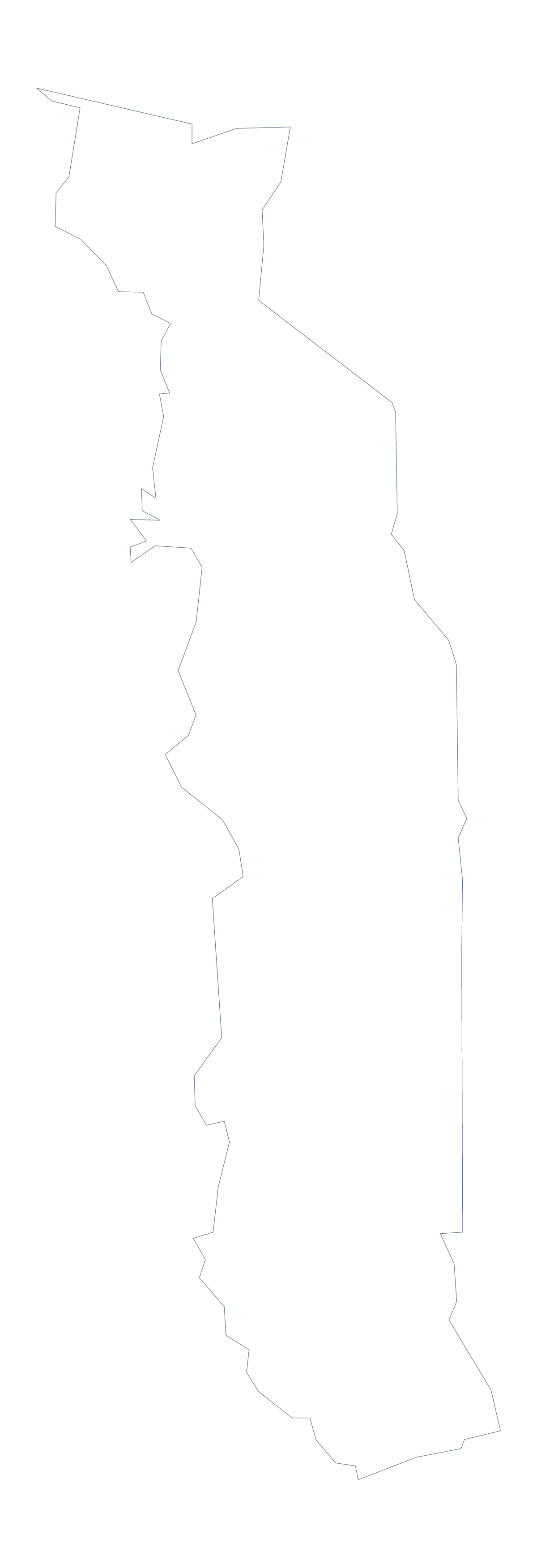
Blank map of Togo
The outline, free as a PNG, SVG or PDF. Label it, colour it in or drop it into a slide.
Using a blank map of Togo
A blank map of Togo is easy to build around: with so few areas to draw, the page has room for your own notes. You get it in two versions, Outline only for the country as one shape and With borders for its 5 administrative areas, each as a PNG, an SVG and a PDF.
Notes around the shape
Place the PNG in the middle of a slide or a worksheet, then add callouts on either side with lines pointing to Lomé, Kara and Sokodé. The country's shape stays plain, and the words around it carry the message. A report can do the same with a figure for each of Centre, Kara, Maritime, Plateaux and Savanes.
A locator for later slides
Shrunk into a corner of each later slide, the Outline only PNG works as a small locator that keeps the country in view while the figures change. With only five areas drawn by With borders, the same corner map can show which area a slide is about.
Design and file choices
In Illustrator, Inkscape or Figma, the SVG gives each area as its own shape, so one can take a strong colour and the rest a tint. The PDF prints on A4 or Letter, and the PNG suits documents and slides.
The political blank map of Togo is With borders; Outline only is for a silhouette, a cover or a very young class. For print options go to the printable map of Togo; for names, pins or colours, Customise this map opens the outline in the editor.
How to do it in MapMaker
- Choose With borders for the 5 areas, or Outline only for the plain shape of Togo.
- Download the PNG for a slide or worksheet, the SVG for a design tool or a PDF for A4 or Letter.
- Place the file in your document and resize it from a corner to keep its shape.
- Add callouts for the areas you want to describe and spell them from the list further down.
- Choose Customise this map to add names, pins or a title.
The 5 administrative areas on the map
A key for labelling the map by hand.
- Centre
- Kara
- Maritime
- Plateaux
- Savanes
Facts about Togo
Togo is in Western Africa. The capital is Lomé. The population is about 8.1 million (2019 estimate). Togo has an area of about 57,100 km². The largest cities are Lomé, Sokodé, Kpalimé, Atakpamé and Bassar. It borders Benin, Burkina Faso and Ghana. The map divides it into 5 administrative areas.
Maps of neighbouring places
Questions people ask
What is the difference between Outline only and With borders?
Outline only is the shape of Togo with no lines inside it. With borders adds the lines between its 5 administrative areas. Neither version has any names, so the labelling is left to you.
Is there a political blank map of Togo?
Yes. It is the With borders version, with the 5 administrative areas drawn in and no names on them, ready for labelling from the list on this page.
Does the PNG have a transparent background?
Yes. Everything around Togo is see-through, so the shape takes the colour of whatever you place it on, whether a slide, a worksheet box or a poster.
Can I show the countries around Togo?
Not on this page, which gives the outline and the areas only. Choose Customise this map to open the same outline in the editor, where the Neighbours switch draws the surrounding countries.