Blank map of Burkina Faso
The outline, free as a PNG, SVG or PDF. Label it, colour it in or drop it into a slide.
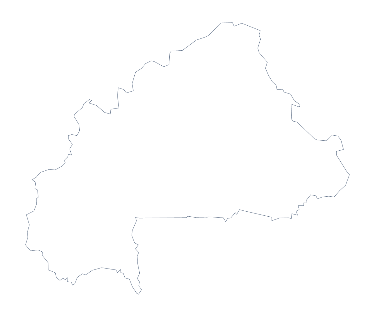
Using a blank map of Burkina Faso
Pick the file to match the job. A colouring sheet you build yourself wants the PNG, a poster or an infographic wants the SVG, and a sheet to print on A4 or Letter wants the PDF. Burkina Faso comes in two versions of each: Outline only, and With borders, which draws its 45 administrative areas.
When 45 areas are too many
The political blank map of Burkina Faso is the With borders version, and with 45 shapes it is a dense one. Name only a handful, such as Houet, Kadiogo and Tuy, because a layout with 45 captions is unreadable. Use the list further down this page for the spellings, and leave the other shapes plain so the named ones stand out. For a plain silhouette, Outline only has none of the inner lines.
Working with the SVG
Because the 45 areas are separate shapes in the SVG, a designer can select a group, fill it with a colour and fade the rest, which makes a handy poster about one part of the country. Slides are easier: place the PNG on a coloured background and the shape of Burkina Faso shows against it, with room beside it for a title and a few figures.
When you need names or figures on the map
The files carry no names, by design, so anything beyond the shape is added afterwards. For names, pins or colours drawn on the map itself, choose Customise this map. To shade the areas by figures from a spreadsheet, use the choropleth map of Burkina Faso.
How to do it in MapMaker
- Choose Outline only for the shape of Burkina Faso, or With borders for its 45 areas.
- Download the PNG, the SVG or a PDF for A4 or Letter, to suit where the map is going.
- Place the file in your own document and name the few areas you want shown.
- Copy the spellings from the list further down this page.
- Choose Customise this map for names, pins or colours on the map.
The 45 administrative areas on the map
A key for labelling the map by hand.
- Balé
- Bam
- Banwa
- Bazèga
- Bougouriba
- Boulgou
- Boulkiemdé
- Comoé
- Ganzourgou
- Gnagna
- Gourma
- Houet
- Ioba
- Kadiogo
- Kénédougou
- Komondjari
- Kompienga
- Kossi
- Koulpélogo
- Kouritenga
- Kourwéogo
- Léraba
- Loroum
- Mouhoun
- Nahouri
- Namentenga
- Nayala
- Noumbiel
- Oubritenga
- Oudalan
- Passoré
- Poni
- Sanguié
- Sanmatenga
- Séno
- Sissili
- Soum
- Sourou
- Tapoa
- Tuy
- Yagha
- Yatenga
- Ziro
- Zondoma
- Zoundwéogo
Facts about Burkina Faso
Burkina Faso is in Western Africa. The capital is Ouagadougou. The population is about 20 million (2019 estimate). Burkina Faso has an area of about 274,000 km². The largest cities are Ouagadougou, Bobo Dioulasso, Koudougou, Ouahigouya and Banfora. It borders Benin, Côte d'Ivoire, Ghana, Mali, Niger and Togo. The map divides it into 45 administrative areas.
Maps of neighbouring places
Questions people ask
How many administrative areas does the blank map show?
The With borders version shows 45 administrative areas, each a separate shape. Outline only shows Burkina Faso as one shape with no lines inside it.
Can I open the SVG in Illustrator, Inkscape or Figma?
Yes. The SVG is a vector file that those programmes open. The 45 areas arrive as separate shapes, so you can select, recolour or delete them one by one.
Can I colour the map in before I download it?
Not on this page, which gives the files as drawn. To colour areas first, use the bar on the editable map of Burkina Faso, or choose Customise this map and colour them in the editor.
Is there an answer key for a labelling quiz?
Yes. The list of the 45 areas further down this page is the key. Number the ones you choose on your worksheet and check pupils' answers against it.