Blank map of Côte d'Ivoire
The outline, free as a PNG, SVG or PDF. Label it, colour it in or drop it into a slide.
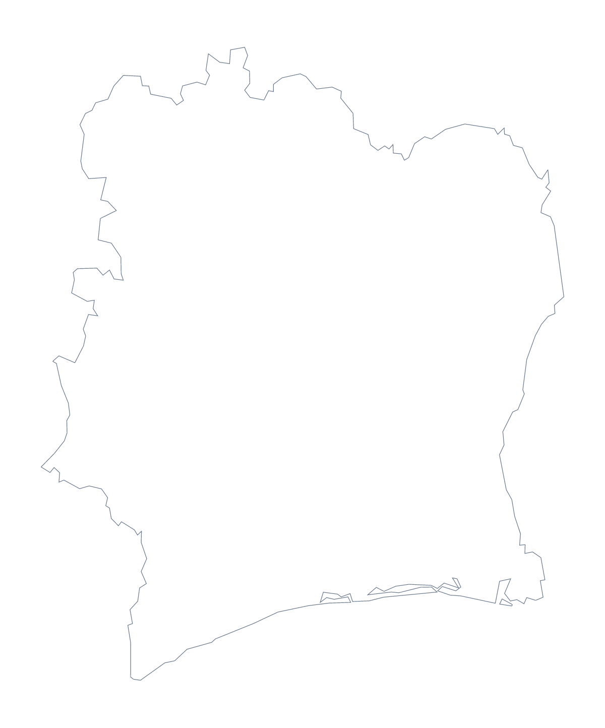
Using a blank map of Côte d'Ivoire
Teachers, students and slide-makers who need the shape of Côte d'Ivoire can take it here in two versions: Outline only, the shape alone, and With borders, which draws its 19 administrative areas. Each is available as a PNG on a transparent background, an SVG and a PDF.
A regional view for a report
The With borders PNG suits a regional page in a report. Place it in a document and draw coloured circles on a few areas, say Lagunes, Savanes, Zanzan and Lacs, with a key beside the map saying what each circle stands for. The list further down this page gives the spellings.
A table of figures can sit beside the map, with each of its rows numbered to match a circle on the shape.
Designing with the SVG
The SVG scales to any size without blurring, so a designer can use Côte d'Ivoire as a large background shape on a report, with the area lines kept for a regional view or removed for a plain silhouette. In Figma or Illustrator, each area line can be given its own weight and colour.
Slides and handouts
Put the PNG on a slide with its own background colour: the transparent background lets the colour show around the shape. A handout can carry the outline in a corner with a short list of facts beside it. For paper, the PDF opens on A4 or Letter.
More than the outline
Customise this map opens the outline in the editor for names, a title or the countries around it. For ink and paper choices, the printable map of Côte d'Ivoire has them.
How to do it in MapMaker
- Choose With borders to show the 19 administrative areas, or Outline only for the shape alone.
- Pick the PNG for a worksheet or slide, the SVG for a design tool or a PDF for A4 or Letter.
- Place the file in your document and draw a circle on each area your page covers.
- Use the list further down this page to spell the area names.
- For names, a title or pins on the map, choose Customise this map.
The 19 administrative areas on the map
A key for labelling the map by hand.
- Agnéby
- Bafing
- Bas-Sassandra
- Comoé
- Denguélé
- Dix-Huit Montagnes
- Fromager
- Haut-Sassandra
- Lacs
- Lagunes
- Marahoué
- Moyen-Cavally
- N'zi-Comoé
- Savanes
- Sud-Bandama
- Sud-Comoé
- Vallée du Bandama
- Worodougou
- Zanzan
Facts about Côte d'Ivoire
Côte d'Ivoire is in Western Africa. The capital is Yamoussoukro. The population is about 26 million (2019 estimate). Côte d'Ivoire has an area of about 322,000 km². The largest cities are Abidjan, Bouaké, Daloa, San-Pedro and Yamoussoukro. It borders Burkina Faso, Ghana, Guinea, Liberia and Mali. The map divides it into 19 administrative areas.
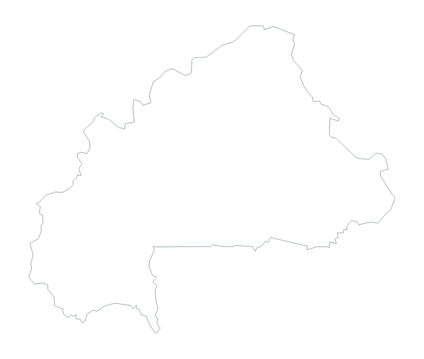
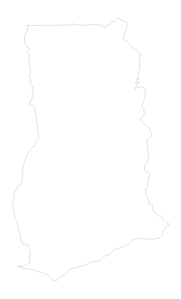
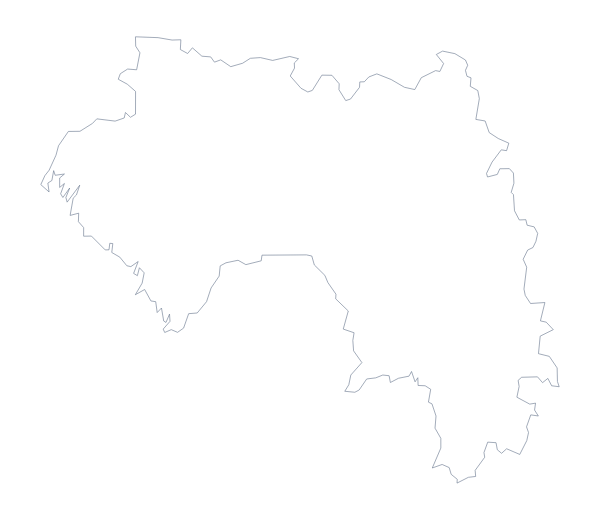
Maps of neighbouring places
Questions people ask
What is the difference between Outline only and With borders?
Outline only is the shape of Côte d'Ivoire with nothing inside it. With borders draws the lines of its 19 administrative areas. Neither version has any names on it.
Is there a political blank map of Côte d'Ivoire?
Yes. It is the With borders version: 19 administrative areas drawn and none named. The list of areas on this page is the key for labelling it.
Is there an answer key for a labelling quiz?
Yes. The list of administrative areas further down this page, from Agnéby to Zanzan, serves as the answer sheet. Number the areas in your own worksheet and check pupils' answers against it.
Which file should I use in a slide?
The PNG. Its background is transparent, so your slide's colour shows around the outline. Use the SVG instead if you want to restyle the shape in Illustrator, Inkscape or Figma.