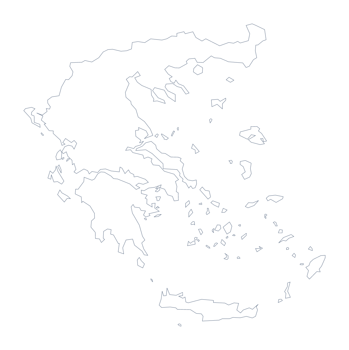
Blank map of Greece
The outline, free as a PNG, SVG or PDF. Label it, colour it in or drop it into a slide.
Using a blank map of Greece
A report on tourism, a revision card on Greece, a travel blog header, a classroom quiz: each needs the shape of the country as a file. This page offers Outline only and With borders, which draws the 14 administrative areas. Both come as a PNG on a transparent background, an SVG and a PDF for A4 or Letter.
Infographics and slide covers
Put the PNG of Outline only at one side of a slide, with a headline and two figures on the other. Its transparent background lets your theme colour fill the rest. In Illustrator, Inkscape or Figma, the SVG can take a pattern, a thick line or a brand colour, and keep sharp edges when it is stretched to fit a banner.
Labelling quizzes
For a quiz, insert With borders into a worksheet and number five areas, such as Epirus, Thessalia, Crete, Attica and the North Aegean. Pupils write names beside the numbers, and the list on this page is the answer sheet. A quicker starter uses the outline alone on a slide: show it with no title and ask which country it is.
Which version and file
The political blank map of Greece is the With borders version; Outline only is the plain silhouette. The PNG is for worksheets and slides, the SVG for design tools, and the PDF prints at 100% on A4 or Letter. For black and white or a sheet coloured on the page first, the printable map of Greece has the choices.
Names, pins or colours of your own need Customise this map, which opens the same outline in the editor.
How to do it in MapMaker
- Choose Outline only for a silhouette, or With borders for the 14 administrative areas.
- Download the PNG for a slide or document, the SVG for a design tool or a PDF for A4 or Letter.
- Place the file in your own page and resize it from a corner so the shape keeps its proportions.
- Number the areas you want named and mark answers against the list on this page.
- Choose Customise this map to add names, colours or a title and download from the editor.
The 14 administrative areas on the map
A key for labelling the map by hand.
- Attica
- Central Greece
- Centre Macedonia
- Crete
- East Macedonia and Thrace
- Epirus
- Ionian Islands
- Mount Athos
- North Aegean
- Peloponnese
- South Aegean
- Thessalia
- West Greece
- West Macedonia
Facts about Greece
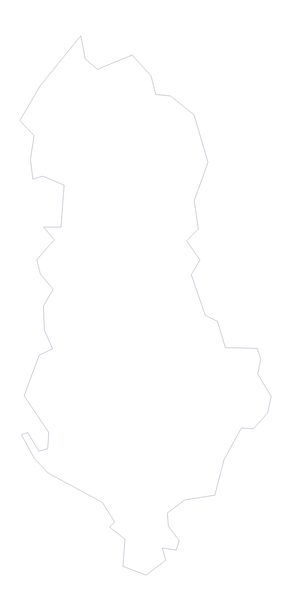
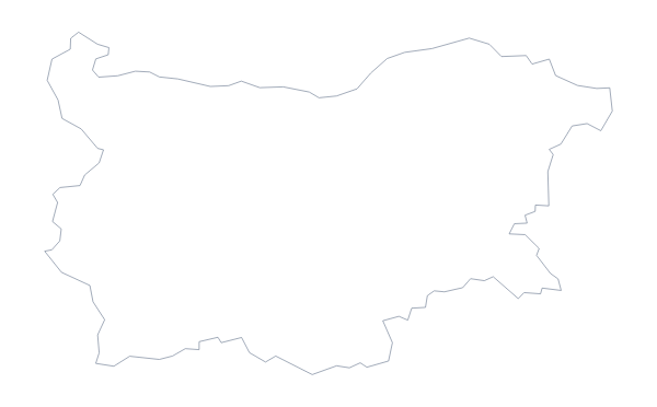
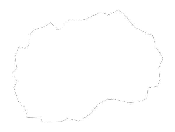
Greece is in Southern Europe. The capital is Athens. The population is about 11 million (2019 estimate). Greece has an area of about 131,000 km². The largest cities are Athens, Thessaloniki, Piraeus, Patra and Iraklio. It borders Albania, Bulgaria, North Macedonia and Turkey. The map divides it into 14 administrative areas.
Maps of neighbouring places
Questions people ask
Is there a political blank map of Greece?
Yes. With borders is the political blank map of Greece: its 14 administrative areas drawn inside the outline, with no names. Outline only is the country's shape with nothing inside it.
How many areas does the blank map show?
The With borders version shows 14 administrative areas, each as its own shape. Their names are listed further down this page as a key, since the map itself carries none.
Does the PNG have a transparent background?
Yes. Everything around the shape is see-through, so the outline of Greece takes on whatever colour you place it on: a slide, a worksheet box or a poster.
Can I open the SVG in Illustrator, Inkscape or Figma?
Yes. The SVG is a vector file, so the outline of Greece and the lines between its areas stay sharp at any size, and you can recolour or trace them in a design tool.