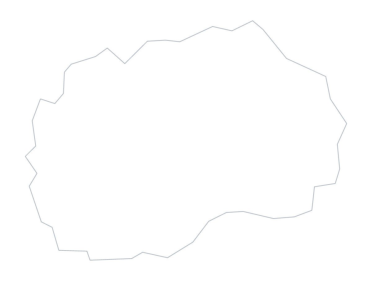
Blank map of North Macedonia
The outline, free as a PNG, SVG or PDF. Label it, colour it in or drop it into a slide.
Using a blank map of North Macedonia
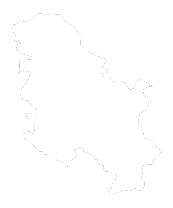
The 84 administrative areas of North Macedonia make the With borders version a detailed drawing, and the plain Outline only a quiet shape. Which you want depends on what you are building. Each version is a PNG on a transparent background, an SVG or a PDF.
Detail as a texture
In Illustrator, Inkscape or Figma, the SVG of With borders is a pattern of shapes you can restyle: a thin line behind a title for a report cover, one area filled with a brand colour to mark a site, or tinted shades for a poster. Because the file is a vector, you can enlarge the SVG or the PDF a long way before a line softens.
A quiz on a chosen few
For a labelling task, fill a handful of areas on slides of With borders, one at a time, rather than all 84, such as Struga, Kičevo, Resen and Debar, and ask which each is. The list on this page is the answer sheet. A simpler starter shows Outline only on a slide with no title and asks which country it is.
Choosing a version
The political blank map of North Macedonia is With borders. Outline only is the simpler choice for a silhouette on a slide, where the PNG's transparent background takes the slide's colour, and for younger children, who need no inner lines. The PDF prints at 100% on A4 or Letter as it stands; for black and white or colouring first, use the printable map of North Macedonia. Customise this map adds names, colour and a title in the editor.
How to do it in MapMaker
- Pick With borders for the 84 areas, or Outline only for the country's shape.
- Choose PNG for a slide or worksheet, SVG for a design tool or a PDF for A4 or Letter.
- Place the file on your page and enlarge it if you plan to label the areas.
- Fill one area per slide for a quiz and check answers against the list on this page.
- Choose Customise this map when you need names, colours or a title.
The 84 administrative areas on the map
A key for labelling the map by hand.
- Aerodrom
- Aračinovo
- Berovo
- Bitola
- Bogdanci
- Bogovinje
- Bosilovo
- Brvenica
- Butel
- Čair
- Čaška
- Centar
- Centar Župa
- Češinovo-Obleševo
- Čučer-Sandevo
- Debar
- Debarca
- Delčevo
- Demir Hisar
- Demir Kapija
- Dojran
- Dolneni
- Drugovo
- Gazi Baba
- Gevgelija
- Gjorče Petrov
- Gostivar
- Gradsko
- Ilinden
- Jegunovce
- Karbinci
- Karpoš
- Kavadarci
- Kičevo
- Kisela Voda
- Kočani
- Konče
- Kratovo
- Kriva Palanka
- Krivogaštani
- Kruševo
- Kumanovo
- Lipkovo
- Lozovo
- Makedonska Kamenica
- Makedonski Brod
- Mavrovo and Rostuša
- Mogila
- Negotino
- Novaci
- Novo Selo
- Ohrid
- Oslomej
- Pehčevo
- Plasnica
- Prilep
- Probištip
- Radoviš
- Rankovce
- Resen
- Rosoman
- Saraj
- Skopje
- Sopište
- Staro Nagoričane
- Štip
- Struga
- Strumica
- Studeničani
- Šuto Orizari
- Sveti Nikole
- Tearce
- Tetovo
- Valandovo
- Vasilevo
- Veles
- Vevčani
- Vinica
- Vraneštica
- Vrapčište
- Zajas
- Zelenikovo
- Želino
- Zrnovci
Facts about North Macedonia
North Macedonia is in Southern Europe. The capital is Skopje. The population is about 2.1 million (2019 estimate). North Macedonia has an area of about 25,300 km². The largest cities are Skopje, Tetovo and Bitola. It borders Albania, Bulgaria, Greece, Kosovo and Serbia. The map divides it into 84 administrative areas.
Maps of neighbouring places
Questions people ask
Is there a political blank map of North Macedonia?
Yes. With borders is the political blank map of North Macedonia: it draws all 84 administrative areas with no names on them, and the list further down this page names each one.
Can I make the outline bigger without it going blurry?
Yes. The SVG and the PDF are vector files, so the outline and the lines of the 84 areas stay sharp however large you make them. Use the SVG for a big poster.
What is the difference between Outline only and With borders?
Outline only is the shape of North Macedonia with nothing inside. With borders adds the lines of its 84 areas, which sit close together on the page, so enlarge it when you want to label them.
Does the PNG have a transparent background?
Yes. Everything around the outline is see-through, so the map takes the colour of the slide, worksheet or poster you put it on.