Blank map of Bulgaria
The outline, free as a PNG, SVG or PDF. Label it, colour it in or drop it into a slide.
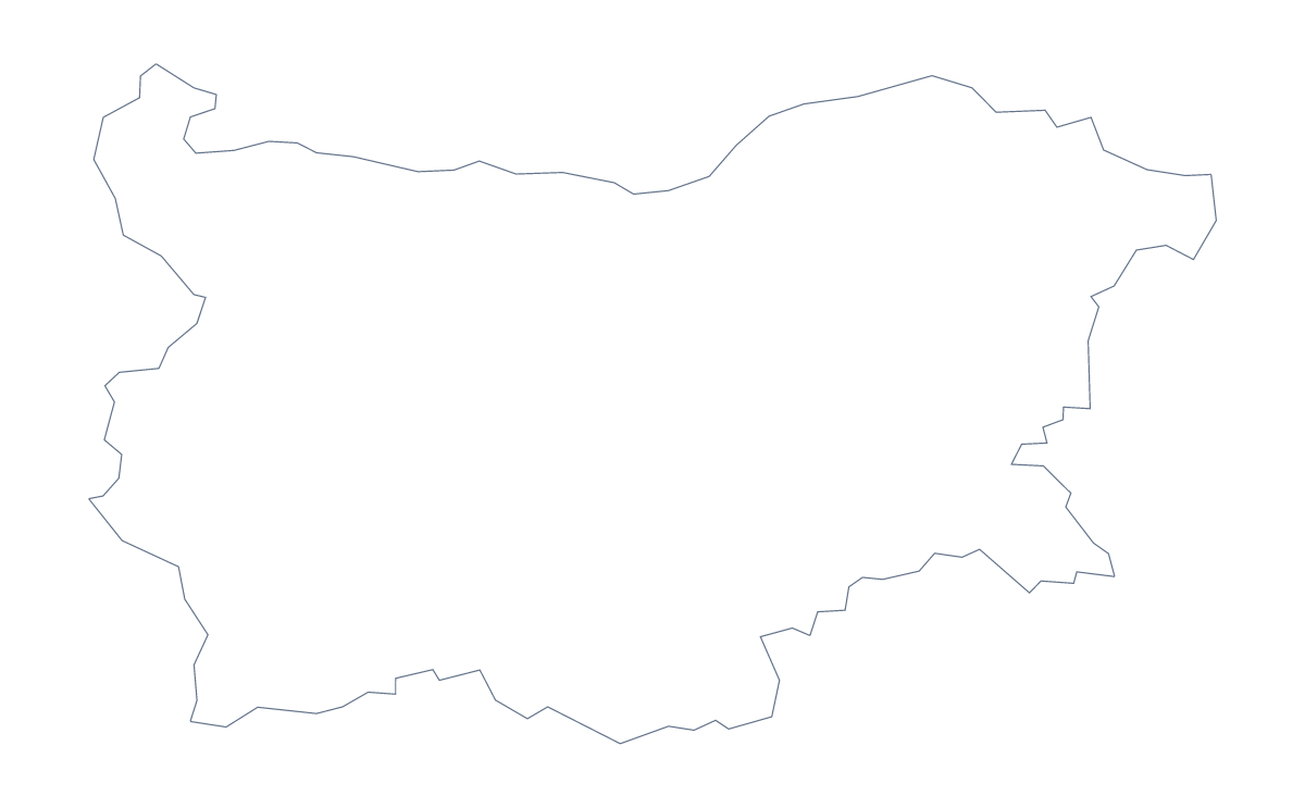
Using a blank map of Bulgaria
Bulgaria's outline mostly goes into something that already exists: a handout, a regional slide, a poster. So this page starts with the file rather than the task. Take Outline only for the shape alone, or With borders for the 28 administrative areas drawn in, and have either as a PNG, an SVG or a PDF.
The file for the tool
A word processor or a slide takes the PNG, and its transparent background lets your page colour show around the country. Illustrator, Inkscape and Figma open the SVG, where the lines stay sharp at any size and each area is its own shape to fill. The PDF is for paper, on A4 or Letter.
Three things to make from it
A territory slide: in your own software, fill the areas one team covers with a single colour and leave the rest pale, so the split reads before anyone reads a word.
A report cover: thin the area lines of the SVG until they become a quiet texture, and set the title across the top.
A guess-the-area quiz: copy the PNG of With borders onto a run of slides, fill a different area on each, such as Gabrovo, Lovech or Pernik, and ask the class which it is. The list further down this page is the answer sheet, with all 28 names.
Which version
The political blank map of Bulgaria is With borders. Outline only is the silhouette, better for a logo sketch or a slide where inner lines would crowd the text. Print choices live on the printable map of Bulgaria. For names, pins or a title, Customise this map opens the same outline in the editor, and the editable map of Bulgaria shows what else it can do.
How to do it in MapMaker
- Choose Outline only for a silhouette, or With borders for the 28 administrative areas.
- Download the PNG for a slide or document, the SVG for a design tool or PDF, A4 or PDF, Letter for paper.
- Fill the areas you need in your own software, and keep the list on this page to check any quiz.
- Choose Customise this map for names, a title or pins, then download from the editor.
The 28 administrative areas on the map
A key for labelling the map by hand.
- Blagoevgrad
- Burgas
- Dobrich
- Gabrovo
- Haskovo
- Kardzhali
- Kyustendil
- Lovech
- Montana
- Pazardzhik
- Pernik
- Pleven
- Plovdiv
- Razgrad
- Ruse
- Shumen
- Silistra
- Sliven
- Smolyan
- Sofia
- Sofia
- Stara Zagora
- Targovishte
- Varna
- Veliko Tarnovo
- Vidin
- Vratsa
- Yambol
Facts about Bulgaria
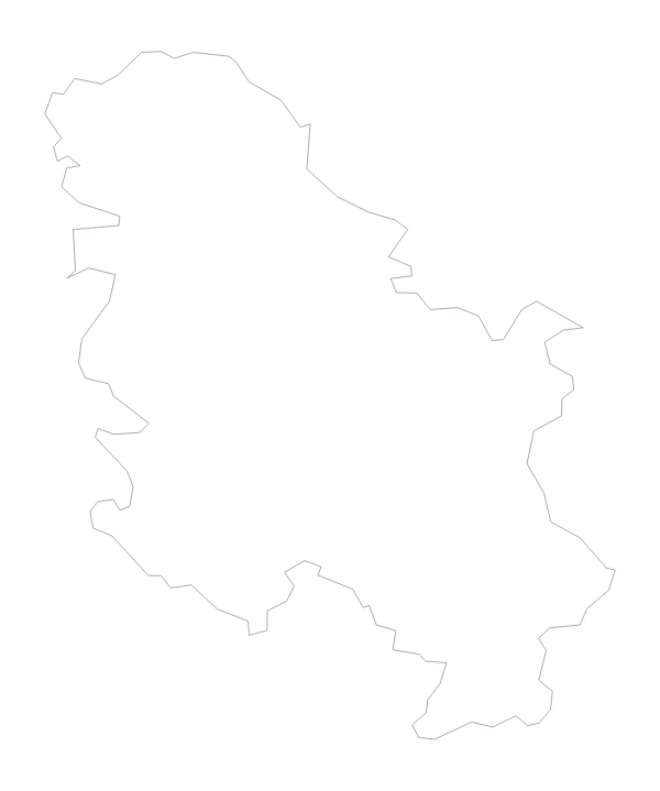
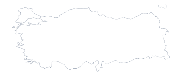
Bulgaria is in Eastern Europe. The capital is Sofia. The population is about 7 million (2019 estimate). Bulgaria has an area of about 113,000 km². The largest cities are Sofia, Plovdiv, Varna, Burgas and Ruse. It borders Greece, North Macedonia, Romania, Serbia and Turkey. The map divides it into 28 administrative areas.
Maps of neighbouring places
Questions people ask
Is there a political blank map of Bulgaria?
Yes. The With borders version is the political blank map: Bulgaria with its 28 administrative areas drawn in and no names. Outline only shows the country as one shape.
Does the PNG have a transparent background?
Yes. Everything around Bulgaria is see-through, so the map takes the colour of the slide or page behind it.
Can I open the SVG in Illustrator, Inkscape or Figma?
Yes. The SVG is a vector file that opens in all three, where each area can be filled, restyled or deleted on its own. The lines stay sharp at any size.
How is this different from the printable map of Bulgaria?
This page gives the outline as a file for your own slide, worksheet or design. The printable map is about paper: A4 or Letter PDFs in colour or black and white, with map tools to colour areas first.