Blank map of Guyana
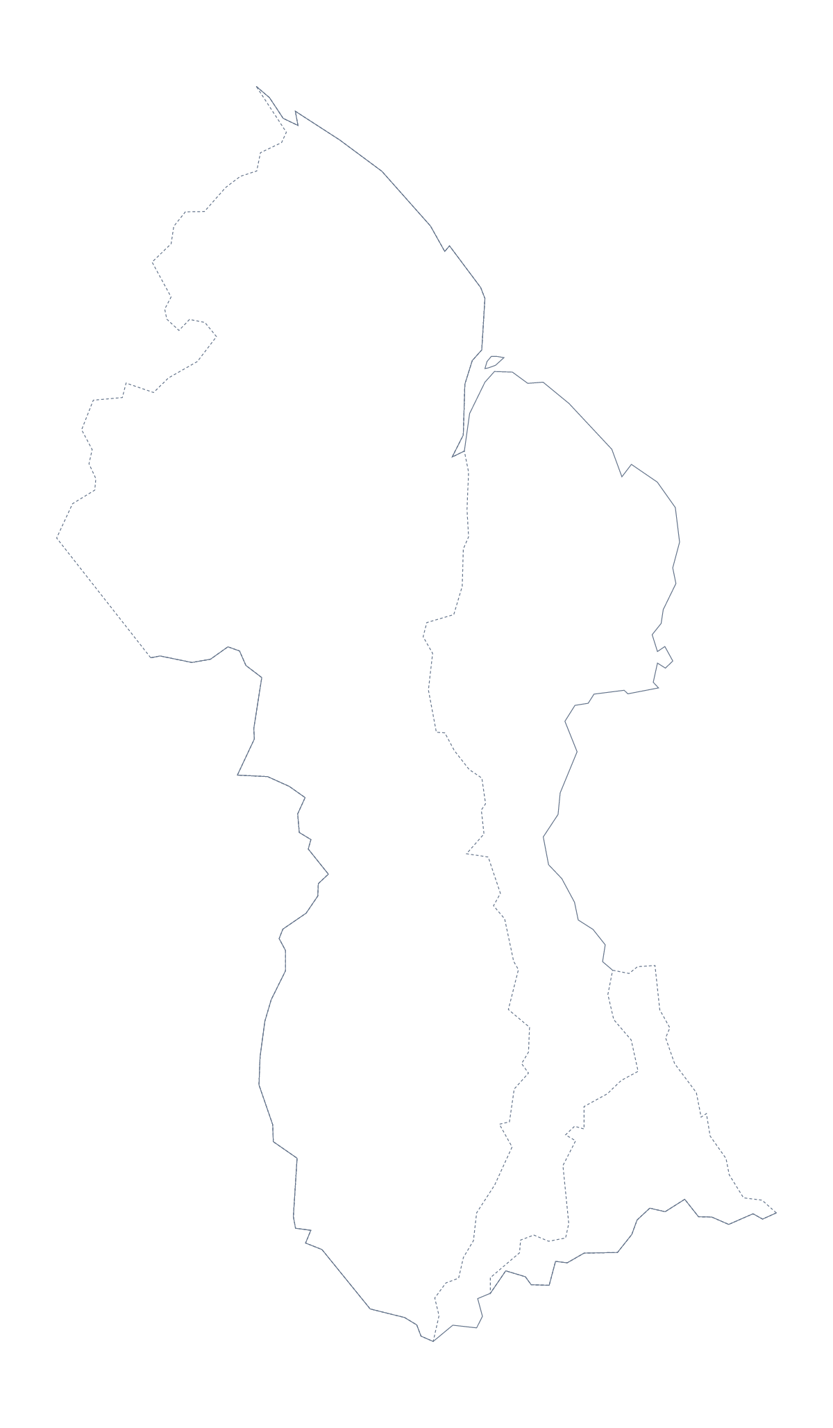
The outline, free as a PNG, SVG or PDF. Label it, colour it in or drop it into a slide.
Using a blank map of Guyana
A blank map of Guyana is most often the base for something else: a project report, a handout, a poster for a school display. This page provides the shape as a file. Outline only is Guyana with nothing inside it, and With borders adds its 10 administrative areas. Each version comes as a PNG, an SVG or a PDF.
A base for your own marks
Open the SVG in Illustrator, Inkscape or Figma and the outline is a set of clean vector lines you can build on: draw a route line, set a label beside an area or add a scale bar. In a slide, the transparent PNG lets you do the same with the shapes of your own deck. For a slide about one part of the country, give that area a strong fill in the SVG and leave the rest in a quiet tint, then export the result as a PNG and the slide needs no further drawing. The same file scales to a poster, because the lines are vectors, and a copy in the corner of each page keeps a long report tied to the place.
Choosing lines or no lines
The political blank map of Guyana is the With borders version, with no names. The list further down this page gives the names if you caption the areas yourself. Choose Outline only for a cover or a badge.
When the outline is not enough
Maps often need a second pass. For black-and-white sheets or colouring before printing, go to the printable map of Guyana. When you need names, a title or pins on the map, choose Customise this map and finish it in the editor.
How to do it in MapMaker
- Choose With borders for the 10 administrative areas, or Outline only for the plain shape.
- Download the PNG for a slide or worksheet, the SVG for a design tool or a PDF for A4 or Letter.
- Place the file on your page and scale it from a corner.
- Take captions for the areas from the list on this page.
- Choose Customise this map to add names, colour or a title.
The 10 administrative areas on the map
A key for labelling the map by hand.
- Barima-Waini
- Cuyuni-Mazaruni
- Demerara-Mahaica
- East Berbice-Corentyne
- Mahaica-Berbice
- Mahaica-Berbice
- Pomeroon-Supenaam
- Potaro-Siparuni
- Upper Demerara-Berbice
- Upper Takutu-Upper Essequibo
Facts about Guyana
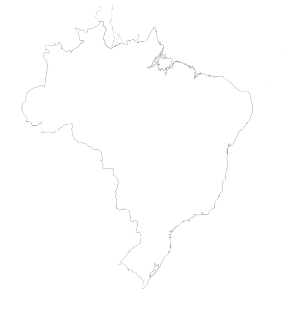
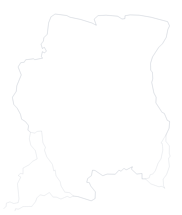
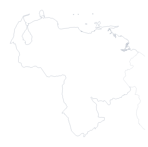
Guyana is in South America. The capital is Georgetown. The population is about 780,000 (2019 estimate). Guyana has an area of about 212,000 km². The largest cities are Georgetown, New Amsterdam, Linden, Corriverton and Bartica. It borders Brazil, Suriname and Venezuela. The map divides it into 10 administrative areas.
Maps of neighbouring places
Questions people ask
Is there a political blank map of Guyana?
Yes: the With borders version. It draws the 10 administrative areas inside the outline with no names. Outline only is the plain shape of Guyana, without lines inside it.
Does the PNG have a transparent background?
Yes. The area around Guyana is see-through, so the shape takes the colour of the slide or page you place it on, and a title can sit right beside it.
Is there an answer key for a labelling quiz?
Yes. The list of administrative areas further down this page names every area that With borders draws, so you can mark any labelling task against it.
Can I colour the map in before I download it?
Not on this page, which gives only the outline. Choose Customise this map to colour areas in the editor, or use the printable page to colour before printing.