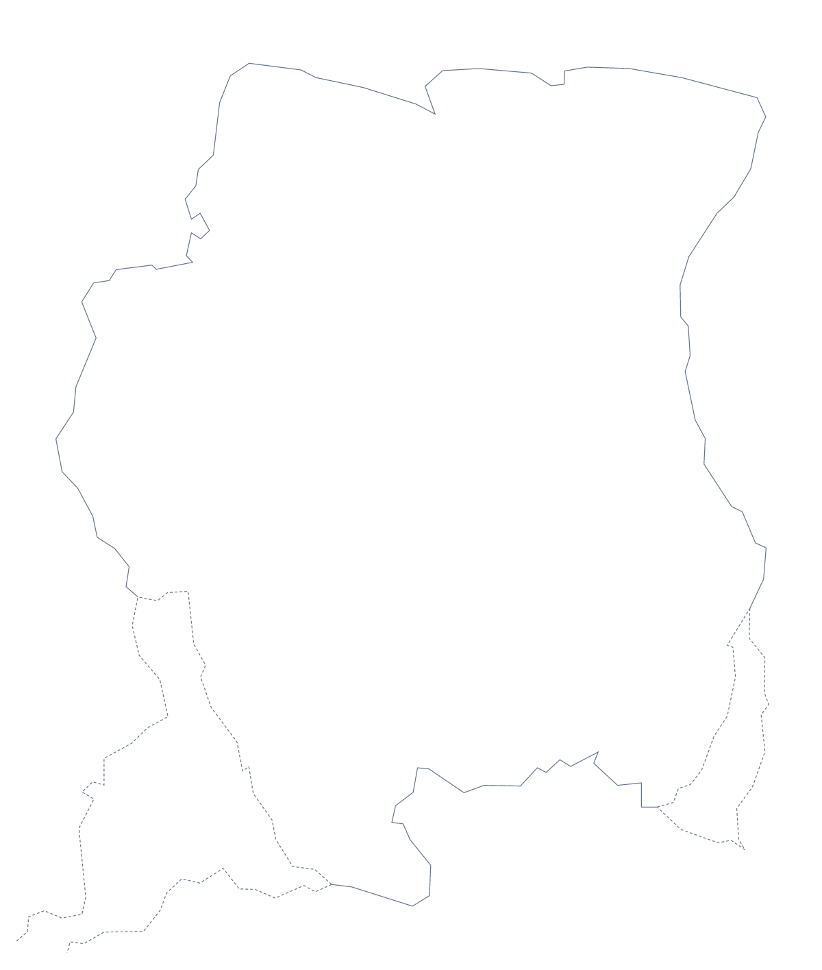
Blank map of Suriname
The outline, free as a PNG, SVG or PDF. Label it, colour it in or drop it into a slide.
Using a blank map of Suriname
Suriname's 10 administrative areas make a tidy shape to build a page around, so a lot of readers here are making slides, handouts or posters. This page gives you the shape as a file. Outline only is the country on its own, and With borders draws the 10 areas inside it. Each version comes as a PNG, an SVG or a PDF.
A report page
Place the With borders PNG in a document and run your own text beside it, with a caption for each area you mention. Coronie, Saramacca, Para, Marowijne and Sipaliwini are five of the 10, and the list further down this page gives every name in full. The transparent PNG sits on a tinted panel without a white box, and locking the proportions as you resize keeps the shape true.
Design and slides
A transparent PNG sits on any slide colour, so Suriname can go beside a short list of figures without a white box. The SVG is the choice for a design tool: trace it, thicken its line, or colour each of the 10 areas in a different brand shade for a report page.
Which version
The political blank map of Suriname is With borders, and it suits captions. Outline only suits a silhouette or a cover. Take the PNG for documents, the SVG when the map must scale up without blurring, and a PDF on A4 or Letter to print as it stands. For black and white or a printed sheet with options, the printable map of Suriname has them; for names, choose Customise this map.
How to do it in MapMaker
- Choose With borders to see all 10 areas, or Outline only for the country's shape.
- Download the PNG for a slide or worksheet, or the SVG for a design tool.
- Set the PNG into your page and resize it from a corner so it keeps its proportions.
- Take the area names for your captions from the list on this page.
- Choose Customise this map to add names, colour or a title.
The 10 administrative areas on the map
A key for labelling the map by hand.
- Brokopondo
- Commewijne
- Coronie
- Marowijne
- Nickerie
- Para
- Paramaribo
- Saramacca
- Sipaliwini
- Wanica
Facts about Suriname
Suriname is in South America. The capital is Paramaribo. The population is about 580,000 (2019 estimate). Suriname has an area of about 146,000 km². The largest cities are Paramaribo, Cottica, Nieuw Nickerie, Brokopondo and Moengo. It borders Brazil, France and Guyana. The map divides it into 10 administrative areas.
Maps of neighbouring places
Questions people ask
What is the difference between Outline only and With borders?
Outline only is the shape of Suriname by itself. With borders draws the lines between its 10 administrative areas, which makes it the political blank map of Suriname. Neither version has any names.
Which file should I use in a worksheet, a slide or a design?
Use the PNG in a worksheet or a slide, because its background is transparent. Use the SVG in a design tool such as Illustrator, Inkscape or Figma, and the PDF when you want to print on A4 or Letter.
Is there an answer key for a labelling quiz?
Yes. The list below the steps names the 10 administrative areas drawn in the With borders version. Number the ones you want pupils to find and mark their answers against the list.
Can I colour the map in before I download it?
Not on this page, which gives the files as they are. To colour areas first, use the editable map of Suriname, or the printable page if the sheet is going straight to paper.