Blank map of Malawi
The outline, free as a PNG, SVG or PDF. Label it, colour it in or drop it into a slide.
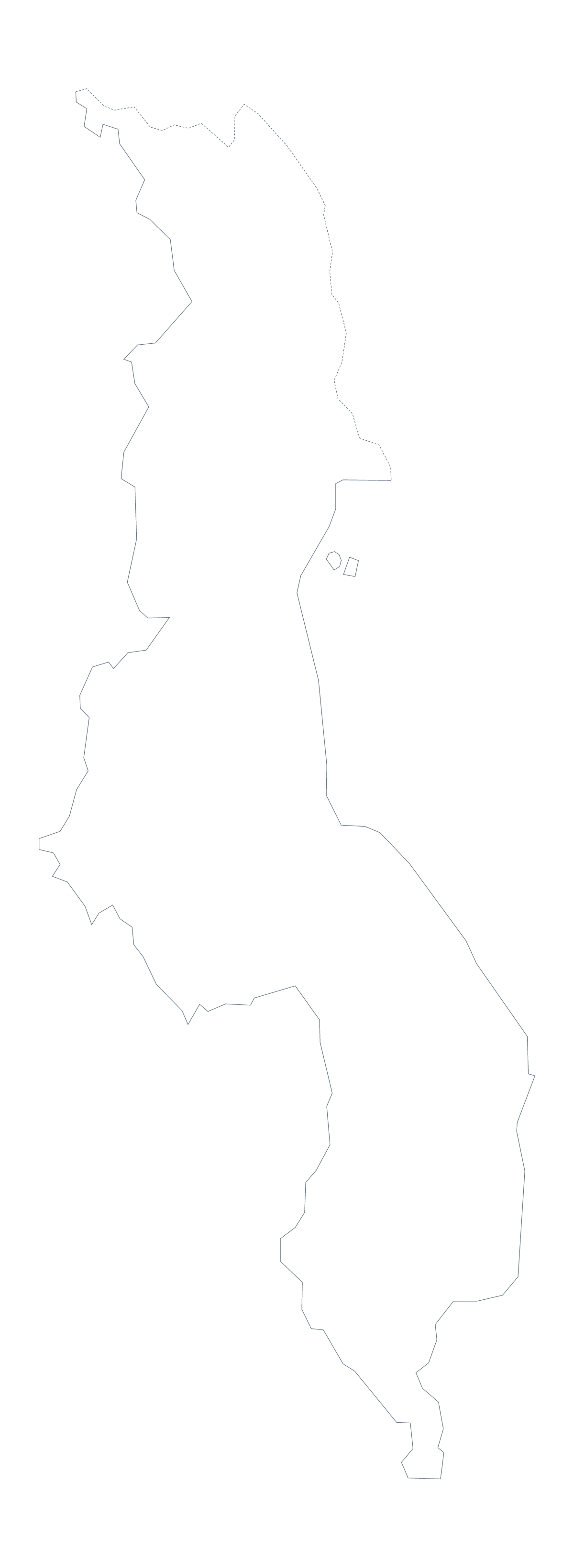
Using a blank map of Malawi
Someone working on Malawi often wants the shape for a particular surface: a slide, a poster, a worksheet. This page offers it as a file in two versions. Outline only is the plain shape of the country. With borders draws the 28 administrative areas inside it. Each version comes as a PNG, an SVG or a PDF.
Design work and slides
Designers will want the SVG. Open it in Illustrator, Inkscape or Figma, give each of the 28 areas a tint from a brand palette and the outline becomes a graphic of its own for a report or a poster. In a presentation, drop the PNG on a dark slide: because the background is transparent, only the shape shows, and a title and a few short points can sit alongside it.
A shorter map for a report
A page with 28 labelled areas is dense, so pick a few. Place the With borders PNG in your document and put numbers on five areas, such as Likoma, Nkhata Bay, Ntcheu, Balaka and Thyolo, each matching a row in a table beside the map. The list further down this page gives the spellings.
Which to take
The political blank map of Malawi is the With borders version, with the areas drawn and no names. Outline only is better for a silhouette or younger pupils. PNG for worksheets and slides, SVG for design tools, PDF for A4 or Letter. Print choices are on the printable map of Malawi; for names, pins and colours, choose Customise this map.
How to do it in MapMaker
- Choose With borders for the 28 areas, or Outline only for the plain shape.
- Download the PNG for a slide or worksheet, the SVG for a design tool or PDF, A4 or PDF, Letter.
- Put the file on your page and number the areas you want to describe.
- Spell the area names from the list further down this page.
- Choose Customise this map for names, colours or a title.
The 28 administrative areas on the map
A key for labelling the map by hand.
- Balaka
- Blantyre
- Chikwawa
- Chiradzulu
- Chitipa
- Chitipa
- Dedza
- Dowa
- Kasungu
- Likoma
- Lilongwe
- Machinga
- Mangochi
- Mchinji
- Mulanje
- Mwanza
- Mzimba
- Neno
- Nkhata Bay
- Nkhotakota
- Nsanje
- Ntcheu
- Ntchisi
- Phalombe
- Rumphi
- Salima
- Thyolo
- Zomba
Facts about Malawi
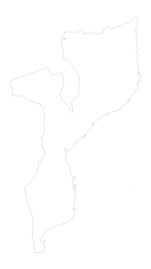
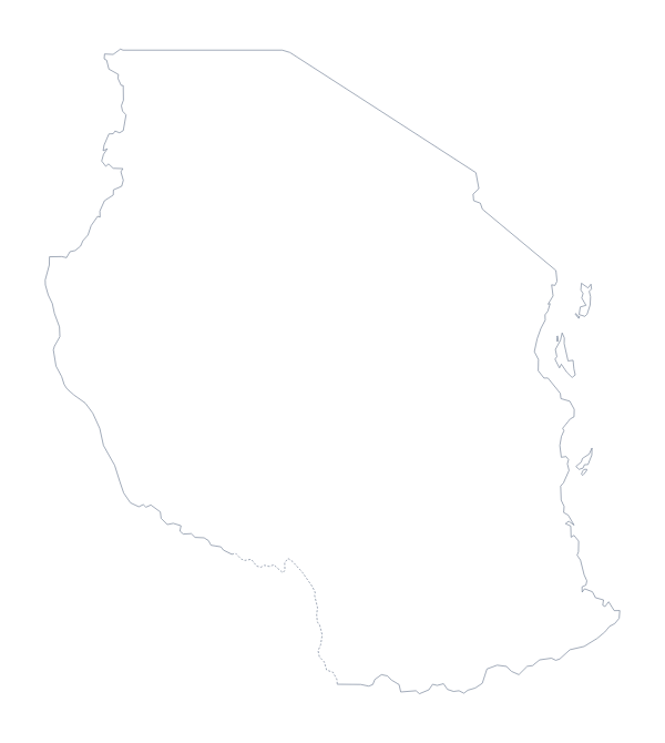
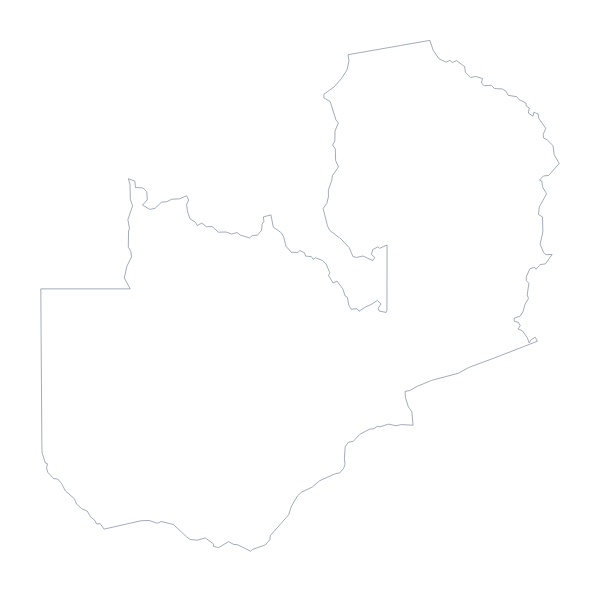
Malawi is in Eastern Africa. The capital is Lilongwe. The population is about 19 million (2019 estimate). Malawi has an area of about 120,000 km². The largest cities are Lilongwe, Blantyre, Mzuzu, Mangochi and Zomba. It borders Mozambique, Tanzania and Zambia. The map divides it into 28 administrative areas.
Maps of neighbouring places
Questions people ask
Is there a political blank map of Malawi?
Yes. It is the With borders version, which draws the lines between all 28 administrative areas and leaves them unnamed. The list further down this page is the key.
Does the PNG have a transparent background?
Yes. The area around the shape of Malawi is see-through, so it picks up the colour of your slide, document or poster once placed.
Can I open the SVG in Illustrator, Inkscape or Figma?
Yes. It is a vector file that opens in all three, so you can recolour each of the 28 areas, change the line weight or scale Malawi up for a poster.
Can I show the countries around Malawi?
Not on this page, which draws Malawi alone. Choose Customise this map and switch on Neighbours in the editor to draw Mozambique, Tanzania and Zambia beside it.