Blank map of Zambia
The outline, free as a PNG, SVG or PDF. Label it, colour it in or drop it into a slide.
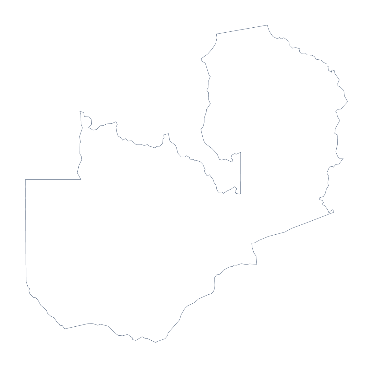
Using a blank map of Zambia
Slides, worksheets and posters about Zambia all need the same raw material: its shape, with nothing else on it. This page offers that in two versions, Outline only and With borders, which draws the lines between the 10 administrative areas. Each comes as a PNG on a transparent background, an SVG and a PDF, and none carries a single name.
On a title slide or a report cover
Put the PNG on a slide with a background colour of your own. The PNG has a transparent background, so your colour shows behind the outline and only the shape of Zambia sits on the slide. A short title and one line of text beside it make a cover for a market report, a trip brief or a school presentation. Pick Outline only here, since the inner lines add clutter at cover size.
Numbered areas in your own layout
With a word processor you control the layout. Place the With borders PNG on the page, draw a numbered circle on five areas, say Eastern, Lusaka, Northwestern, Southern and Luapula, and give each number a line of notes beside the map. The list of areas lower on this page gives the spellings.
In a design tool
The SVG opens in Illustrator, Inkscape or Figma as clean paths. Restyle the lines, fill the areas with a brand palette or cut the shape for a display. A craft project, a poster or the base of a logo sketch all start from the same file.
Which file, and what next
Take the PNG for documents and slides, the SVG for design work and the PDF when you want the outline on A4 or Letter. The PDF prints at 100%; for black and white and other print choices, go to the printable map of Zambia. If you need names, colours or a title on the map itself, Customise this map opens the outline in the editor, or use the editable map of Zambia.
How to do it in MapMaker
- Choose Outline only for the shape of Zambia, or With borders for its 10 administrative areas.
- Download the PNG for a slide or worksheet, the SVG for a design tool or a PDF for A4 or Letter.
- Place the file in your document and add numbers or boxes beside the areas you want to describe.
- Spell the area names from the list of areas further down this page.
- For names, colours or a title, choose Customise this map and download from the editor.
The 10 administrative areas on the map
A key for labelling the map by hand.
- Central
- Copperbelt
- Eastern
- Luapula
- Lusaka
- Muchinga
- Northern
- Northwestern
- Southern
- Western
Facts about Zambia
Zambia is in Eastern Africa. The capital is Lusaka. The population is about 18 million (2019 estimate). Zambia has an area of about 755,000 km². The largest cities are Lusaka, Kitwe, Ndola, Kasama and Kabwe. It borders Angola, Democratic Republic of the Congo, Malawi, Mozambique, Namibia, Tanzania and Zimbabwe. The map divides it into 10 administrative areas.
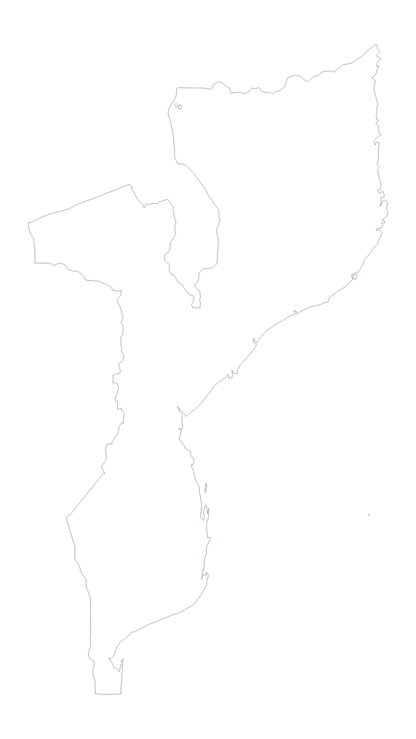
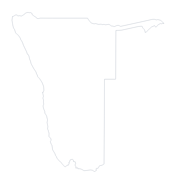
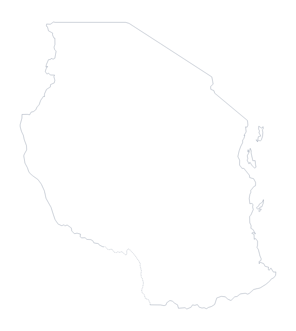
Maps of neighbouring places
Questions people ask
What is the difference between Outline only and With borders?
Outline only is the shape of Zambia with no lines inside it. With borders adds the lines between its 10 administrative areas, so each one is a shape you can label or colour. Neither version has any names on it.
Is there a political blank map of Zambia?
Yes, it is the With borders version: the administrative areas drawn in and left unnamed. The list of areas on this page, from Central to Western, doubles as an answer key for a labelling task.
Can I open the SVG in Illustrator, Inkscape or Figma?
Yes. The SVG is a vector file, so it opens in all three, and you can scale Zambia up to poster size without blurring and change the line colours and weights of the areas.
Can I show the countries around Zambia?
Not on this page, which gives only the outline. Choose Customise this map and switch on Neighbours in the editor to draw the surrounding countries in grey, then download the result from there.