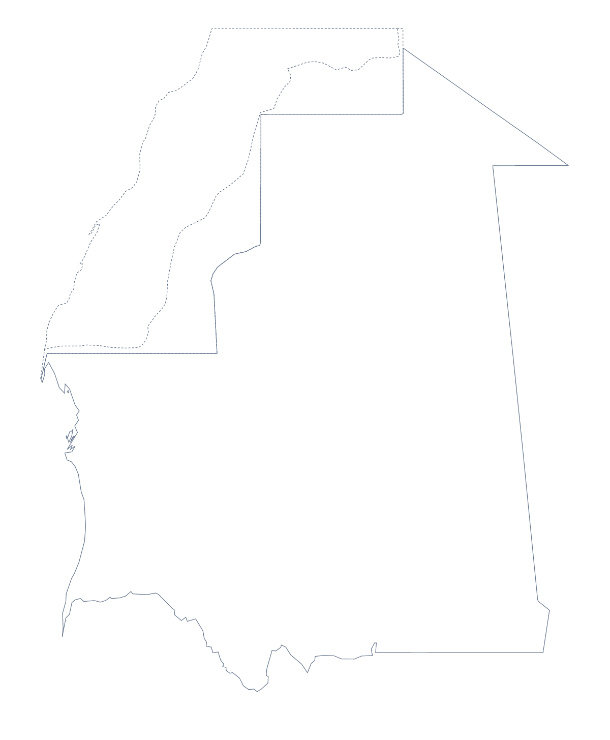
Blank map of Mauritania
The outline, free as a PNG, SVG or PDF. Label it, colour it in or drop it into a slide.
Using a blank map of Mauritania
For a report, a handout or a poster about Mauritania, the shape is often all that is needed. This page has it in two versions: Outline only, the country on its own, and With borders, which draws its 13 administrative areas. Both come as a PNG, an SVG or a PDF.
In a report or a briefing
A report on Mauritania can use the With borders PNG as a locator: colour the areas the report covers in your own graphics program and leave the rest plain. Because the PNG background is transparent, the map sits on a tinted box or a coloured page without a white edge. A shorter option is Outline only on a cover with the title set beside it.
A handout with a key
For a lesson handout, place the With borders PNG in a document and number four areas, say Adrar, Tagant, Inchiri and Gorgol, with a box beside each for a line of notes. The list further down this page gives the spellings.
Designers
The SVG opens in Illustrator, Inkscape or Figma. Once there, the 13 areas can each take a colour from a brand palette or be cut as separate shapes, and the whole can be scaled for a poster without blurring.
Which version and file
The political blank map of Mauritania is the With borders version. Outline only gives a plain silhouette. PNG suits worksheets and slides, SVG design tools, and PDF A4 or Letter. For print settings, see the printable map of Mauritania. For names, pins or colours on the map itself, choose Customise this map.
How to do it in MapMaker
- Choose With borders for the 13 areas, or Outline only for the plain shape.
- Download the PNG, SVG, PDF, A4 or PDF, Letter that fits your tool.
- Place the file in your document and number the areas you want to describe.
- Spell the area names from the list further down this page.
- Choose Customise this map if the map needs names, colours or a title.
The 13 administrative areas on the map
A key for labelling the map by hand.
- Adrar
- Assaba
- Brakna
- Dakhlet Nouadhibou
- Gorgol
- Guidimaka
- Hodh Ech Chargui
- Hodh El Gharbi
- Inchiri
- Nouakchott
- Tagant
- Tiris Zemmour
- Trarza
Facts about Mauritania
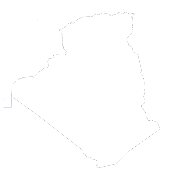
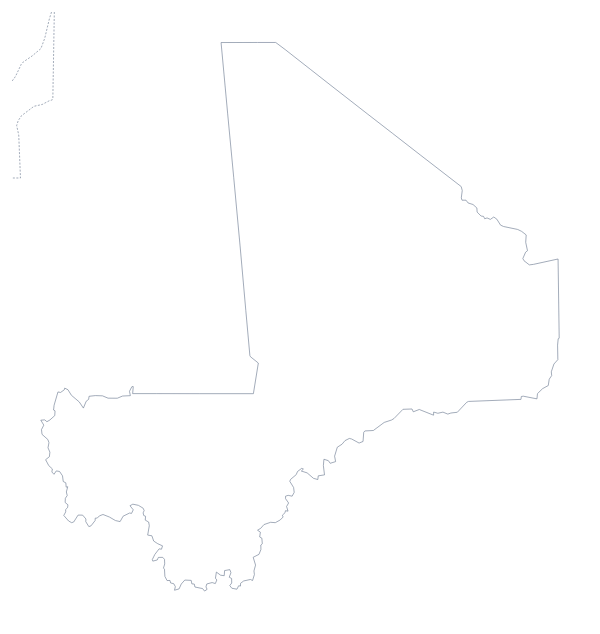
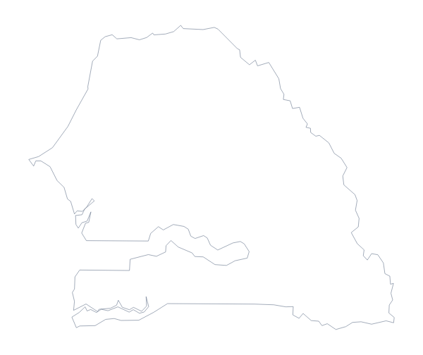
Mauritania is in Western Africa. The capital is Nouakchott. The population is about 4.5 million (2019 estimate). Mauritania has an area of about 1,040,000 km². The largest cities are Nouakchott, Saint-Louis, Nema, Nouadhibou and Kiffa. It borders Algeria, Mali, Senegal and Western Sahara. The map divides it into 13 administrative areas.
Maps of neighbouring places
Questions people ask
Is there a political blank map of Mauritania?
Yes. It is the With borders version, which draws the lines between the 13 administrative areas and leaves them unnamed. The list further down this page is the key.
What is the difference between Outline only and With borders?
Outline only is the shape of Mauritania with nothing inside it. With borders adds the 13 areas as separate shapes. Both are free, and neither has any names on it.
Does the PNG have a transparent background?
Yes. Only the shape is drawn, so the colour of the slide, document or poster you place it on shows around it.
How do I add names, a title or my own colours?
Choose Customise this map. The editor opens the same outline, where you can show names, colour the areas, add a title on the Canvas tab and download from there.