Blank map of Mali
The outline, free as a PNG, SVG or PDF. Label it, colour it in or drop it into a slide.
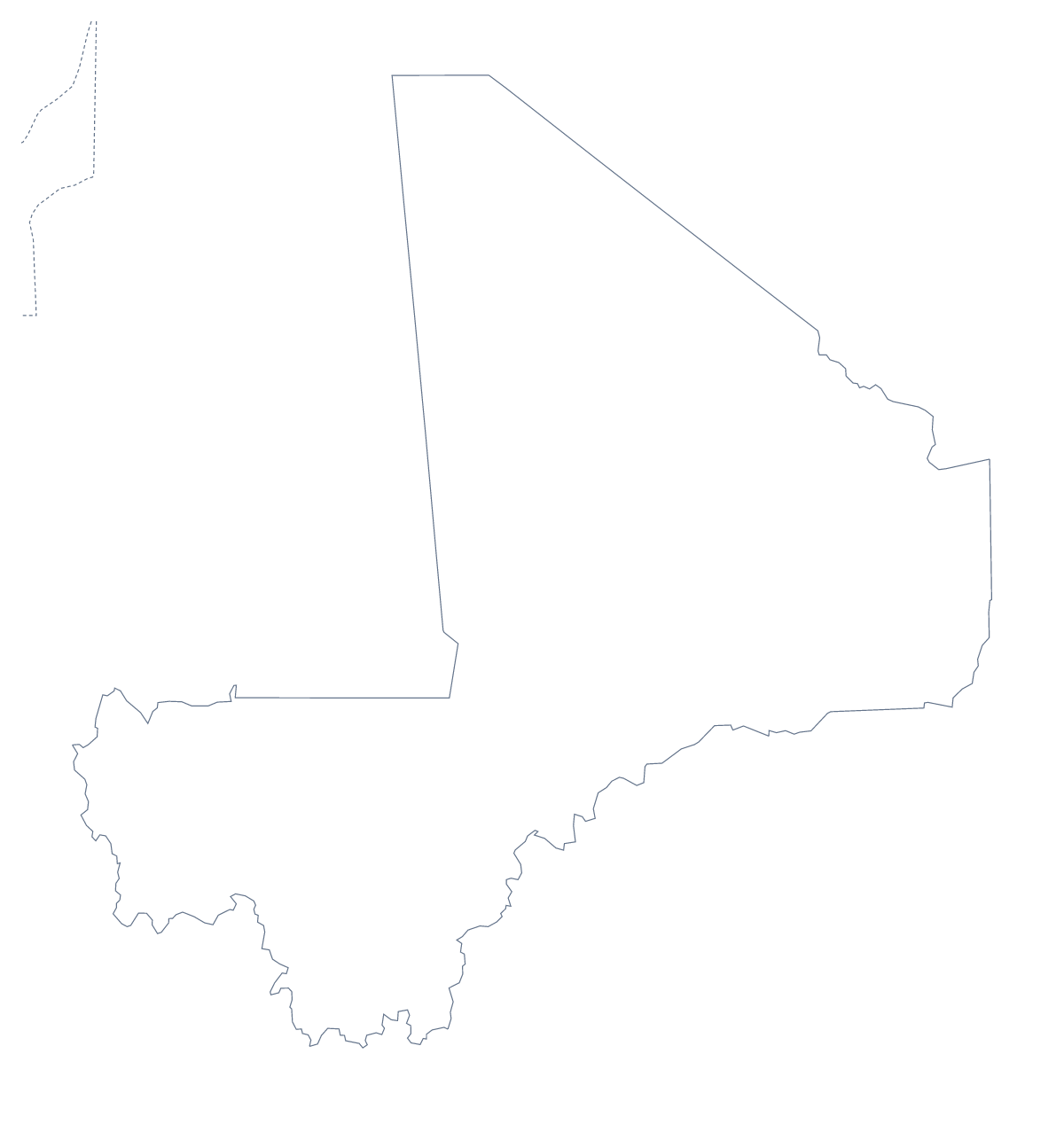
Using a blank map of Mali
Teachers, students and designers ask for Mali's shape when they want to build something around it. This page gives you two versions. Outline only is the country with nothing inside it, and With borders draws its 9 administrative areas. Each is a PNG, an SVG or a PDF.
With nine areas, a page stays clear
Place the With borders PNG in a document and number every area, with a row of notes for each number in a table beside the map. Nine boxes fit comfortably on a page, and the list further down gives the spellings. A lighter version numbers only Kidal, Gao, Tombouctou and Kayes. For a cover, use Outline only with the title above it.
On a slide or in a design
A slide on Mali needs very little: the transparent PNG, a title and a few figures. The shape takes the slide colour, so it works on a dark theme as readily as a white one. In a design tool, the SVG lets you recolour the 9 areas to a brand palette, set the line weights or trace the outline for a logo sketch, and scale it up without blurring.
Choosing a version
The political blank map of Mali is the With borders version. Outline only is better for a silhouette. PNG for worksheets and slides, SVG for design tools, PDF for A4 or Letter. If you want to print in black and white, use the printable map of Mali. For names or neighbours, choose Customise this map.
How to do it in MapMaker
- Choose With borders for the 9 areas, or Outline only for the country's shape.
- Download the PNG for a slide or worksheet, the SVG for design work or PDF, A4 or PDF, Letter.
- Place the file on your page and number the areas you want to describe.
- Spell the area names from the list further down this page.
- Choose Customise this map for names, neighbours or a title.
The 9 administrative areas on the map
A key for labelling the map by hand.
- Bamako
- Gao
- Kayes
- Kidal
- Koulikoro
- Mopti
- Ségou
- Tombouctou
- Wassoulou
Facts about Mali
Mali is in Western Africa. The capital is Bamako. The population is about 20 million (2019 estimate). Mali has an area of about 1,260,000 km². The largest cities are Bamako, Sikasso, Ségou, Gao and Mopti. It borders Algeria, Burkina Faso, Côte d'Ivoire, Guinea, Mauritania, Niger and Senegal. The map divides it into 9 administrative areas.
Maps of neighbouring places
Questions people ask
Is there a political blank map of Mali?
Yes. It is the With borders version, which draws the lines between the 9 administrative areas and leaves them unnamed. The list further down this page is the key.
Does the blank map show the names of the areas?
No. A blank map has no names, so the 9 areas are left for you or your pupils to write in. To get names on the map, choose Customise this map and turn them on in the editor.
Can I make the outline bigger without it going blurry?
Yes, with the SVG or the PDF, which are vector files. Mali stays sharp at poster size. The PNG is a picture, so place it at about the size you need.
Can I show the countries around Mali?
This page draws Mali alone. In the editor, through Customise this map, the Neighbours switch draws Algeria, Burkina Faso, Côte d'Ivoire, Guinea, Mauritania, Niger and Senegal in grey around it.