Blank map of Palestine
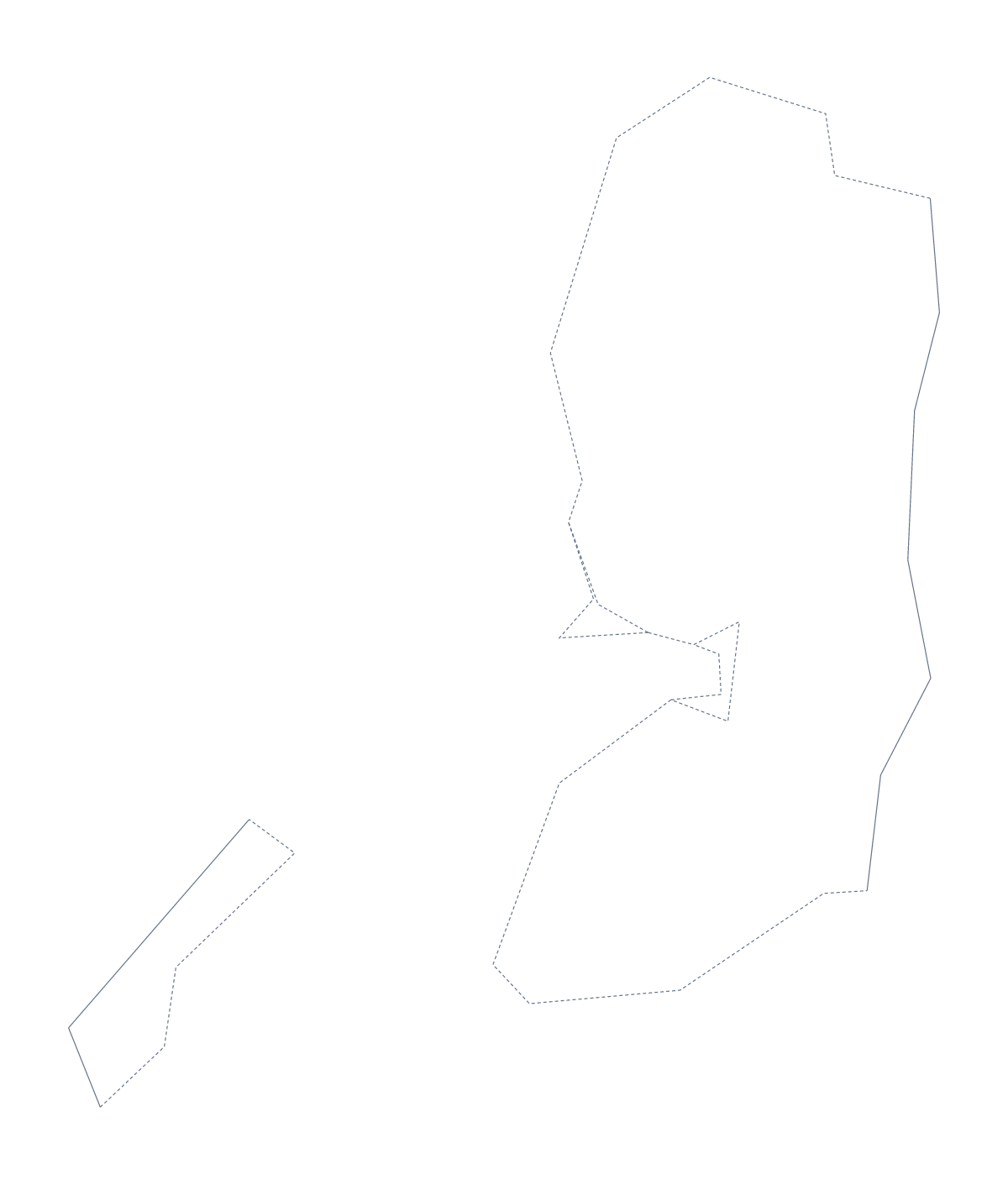
The outline, free as a PNG, SVG or PDF. Label it, colour it in or drop it into a slide.
Using a blank map of Palestine
A blank map of Palestine is usually wanted for a lesson or a project: pupils label it, colour it in or put it at the centre of a poster, and teachers drop it into a worksheet of their own. There are two versions here, Outline only and With borders, which draws its two administrative areas, Gaza and the West Bank. Each comes as a PNG, an SVG and a PDF.
Tasks for a lesson or a project
With only two areas to name, With borders makes a quick labelling starter. Pupils write Gaza and the West Bank in the right places, give each a colour and add a two-line key. The list of administrative areas further down this page is the answer.
For a project poster, place the PNG in the middle of a large sheet and arrange notes, pictures and arrows around it. Younger children can colour Outline only, trace it onto thin paper or cut it out and stick it into an exercise book with a title above it.
Slides and designs
On a slide, the transparent background means the outline sits on any colour with nothing around it; a heading and a short caption fit beside it. The SVG opens in Illustrator, Inkscape or Figma, where it scales to poster size without blurring and its lines can be redrawn in your own weight and colour.
Which version and which file
Take With borders for labelling the two areas and Outline only for a plain shape. The PNG suits worksheets and slides, the SVG design work and the PDF a print on A4 or Letter. Every file here is drawn with the international boundaries. If your lesson needs the boundaries as recognised by one of several countries, choose Customise this map, pick that view under Boundaries (More, then Place) and download from the editor, which adds a note on the map naming the view. For black-and-white copies, the printable map of Palestine has them ready.
How to do it in MapMaker
- Choose With borders to show Gaza and the West Bank, or Outline only for the shape alone.
- Download the PNG for a slide or a worksheet, or the SVG for a design tool.
- Print from PDF, A4 or PDF, Letter if the outline is going onto paper as it is.
- Use the list of administrative areas on this page as the key when you mark a labelling task.
- Choose Customise this map for names, colours, a title or another boundary view, then download from the editor.
The 2 administrative areas on the map
A key for labelling the map by hand.
- Gaza
- West Bank
Facts about Palestine
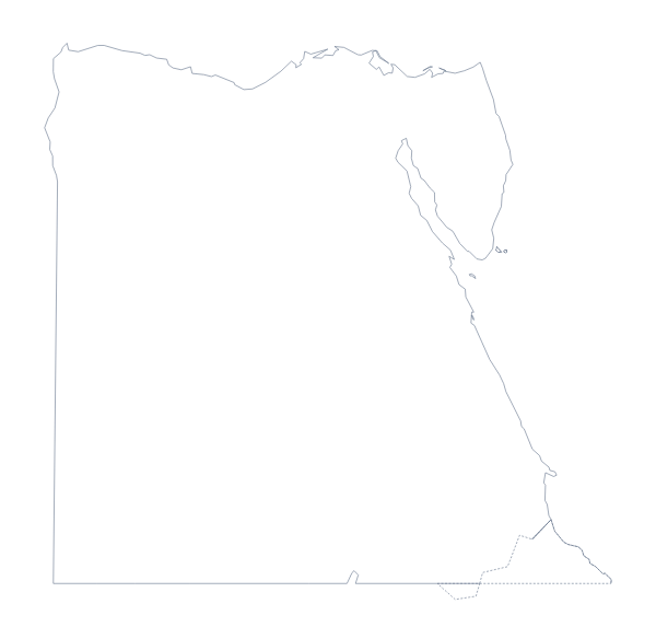
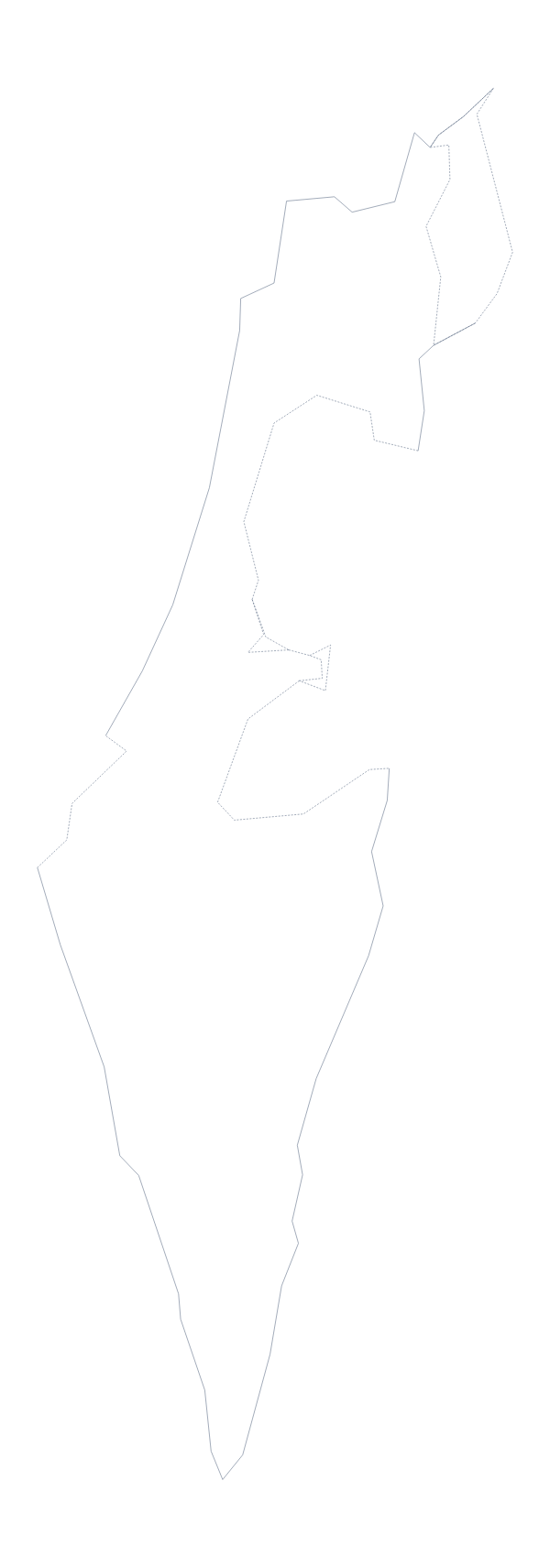
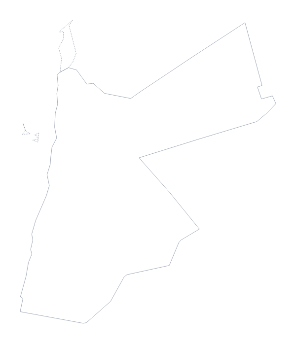
Palestine is in Western Asia. The population is about 4.7 million (2019 estimate). It borders Egypt, Israel and Jordan. The map divides it into 2 administrative areas. Its status is disputed.
Maps of neighbouring places
Questions people ask
What is the difference between Outline only and With borders?
Outline only is the shape with no inner lines. With borders is drawn from the two administrative areas, Gaza and the West Bank, so it is the version to label from the list on this page. Neither has any names printed on it.
Does the PNG have a transparent background?
Yes. Only the outline itself is drawn, so the PNG of Palestine sits on a coloured slide, a poster or a shaded worksheet box without a white rectangle around it.
How do I add names, a title or my own colours?
Choose Customise this map. The editor opens the same outline, where you can show the names of Gaza and the West Bank, colour each area, add a title on the Canvas tab and download a PNG, SVG or PDF.