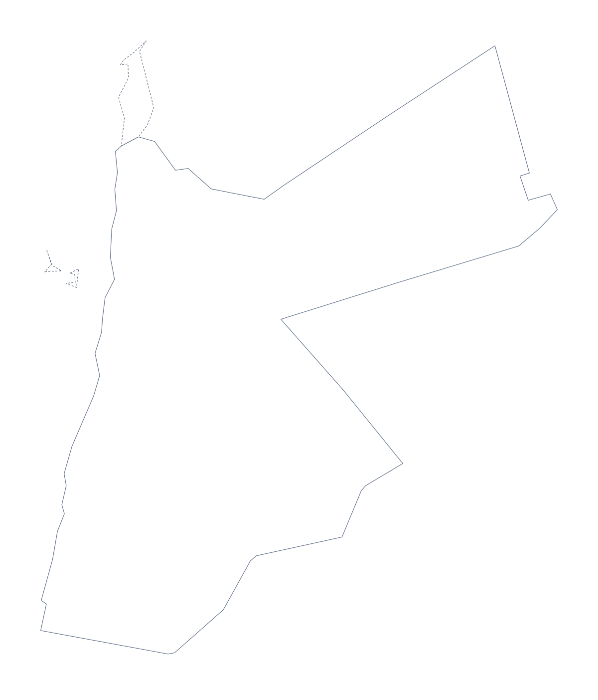
Blank map of Jordan
The outline, free as a PNG, SVG or PDF. Label it, colour it in or drop it into a slide.
Using a blank map of Jordan
With a blank map of Jordan you can have the shape of the country in the tool you already use. Outline only is the country with nothing inside it. With borders adds the 12 administrative areas. Each version is a PNG, an SVG or a PDF, with no names on it.
In a worksheet or a quiz
Twelve areas suit a numbered quiz. Place the With borders PNG in your document and number every area, or choose six, such as Ajloun, Balqa, Irbid, Madaba, Mafraq and Tafilah. The pupil names each one, and the list further down this page gives the answers. For a starter with younger classes, print Outline only on its own and ask them to say which country it is before they colour it.
On a slide or in a design
The PNG suits a slide, because its transparent background takes the colour of your theme. A report cover can use the SVG at a large size with a heavy line, and a presentation about the region can use the outline as a locator in the corner of a slide.
In Illustrator, Inkscape or Figma, the SVG scales without blurring, so you can use the same file for a small icon and a poster.
Picking a version
The political blank map of Jordan is the With borders version. Outline only is the better pick for a silhouette, a logo sketch or a simple colouring page. Choose PNG for a document, SVG for design tools and PDF for a ready-to-print A4 or Letter page.
Need names or colour? Choose Customise this map, or use the editable map of Jordan. For print choices such as black and white, see the printable map of Jordan.
How to do it in MapMaker
- Choose With borders to draw the 12 administrative areas, or Outline only for the whole shape.
- Pick PNG, SVG, or PDF, A4 or PDF, Letter.
- Place the file on your slide or worksheet and resize it from a corner.
- Number the areas you want pupils to name and keep the list on this page as the key.
- Choose Customise this map when you need names, colours or a title.
The 12 administrative areas on the map
A key for labelling the map by hand.
- Ajloun
- Amman
- Aqaba
- Balqa
- Irbid
- Jerash
- Karak
- Ma'an
- Madaba
- Mafraq
- Tafilah
- Zarqa
Facts about Jordan
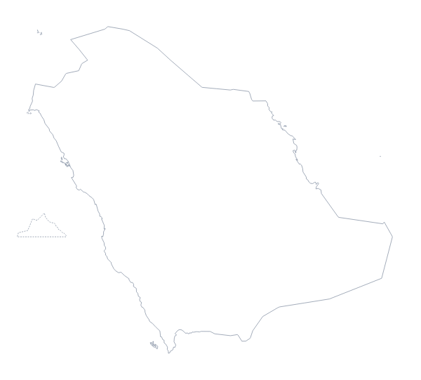
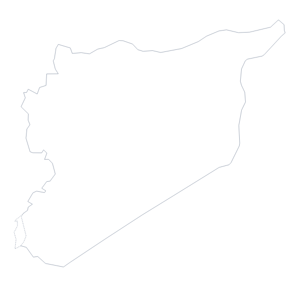
Jordan is in Western Asia. The capital is Amman. The population is about 10 million (2019 estimate). Jordan has an area of about 88,900 km². The largest cities are Amman, Az Zarqa, Irbid, As Salt and Al Aqabah. It borders Iraq, Israel, Palestine, Saudi Arabia and Syria. The map divides it into 12 administrative areas.
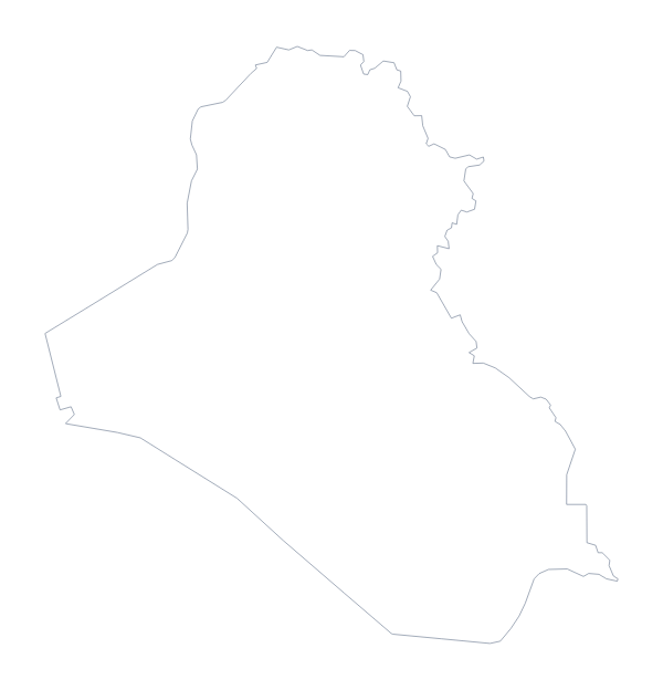
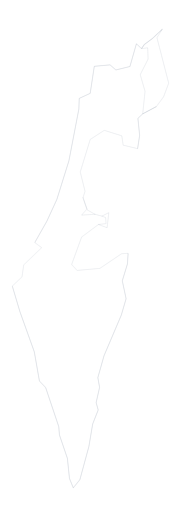
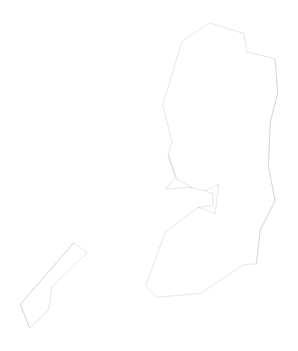
Maps of neighbouring places
Questions people ask
What is the difference between Outline only and With borders?
Outline only is the shape of Jordan with nothing inside it. With borders adds the lines between its 12 administrative areas, which makes it the political blank map. Neither version has names.
Is there an answer key for a labelling quiz?
Yes. The list of administrative areas further down this page names all 12 that the With borders version draws. Number the ones you want pupils to find, then mark them against the list.
Can I open the SVG in Illustrator, Inkscape or Figma?
Yes. The SVG is a vector file. Each of the 12 areas is its own shape in the With borders version, so you can recolour or restyle them one at a time.
Does the PNG have a transparent background?
Yes. The area around the outline is see-through, so Jordan takes the colour of the slide or page it is placed on.