Blank map of Israel
The outline, free as a PNG, SVG or PDF. Label it, colour it in or drop it into a slide.
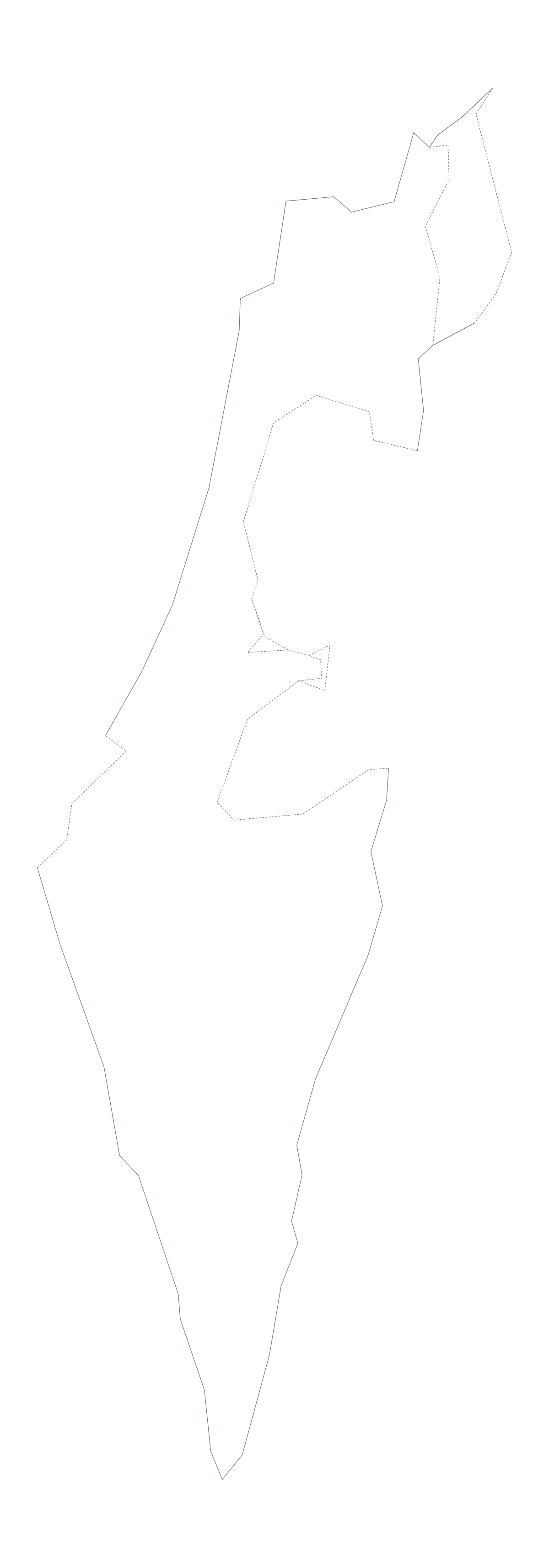
Using a blank map of Israel
Worksheets, revision cards and slides are where the outline of Israel usually ends up, along with posters and illustrations. There are two versions here, Outline only, the shape on its own, and With borders, which draws its 6 administrative areas. Each is available as a PNG on a transparent background, an SVG and a PDF.
Worksheets and revision cards
With borders makes a colour-by-number sheet in a few minutes. In your own document, write a number from 1 to 6 inside each area and add a small key beside the map: 1 is blue, 2 is green and so on. Younger pupils colour each area to match, and older ones then write the area names on top, checking them against the list of administrative areas further down this page. On a revision card, a small PNG in one corner with a single area shaded is enough to anchor the notes on that card.
Outline only fits a short observation task: pupils copy the shape freehand from the PNG on the board, then hold a printed copy over their drawing against a window to compare the two.
Slides and design
On a slide, the transparent PNG sits on your theme colour with room for a heading and two or three points. In Illustrator, Inkscape or Figma the SVG takes any stroke or fill and scales to poster size without blurring; the inner lines of With borders can be thinned to a hairline when they are there only as texture.
Versions, files and boundaries
Take With borders for anything built on the six areas, and Outline only for a plain shape. The PNG is for worksheets and slides, the SVG for design work, and the PDF prints at 100% on A4 or Letter. Every file is drawn with the international boundaries. If a lesson or a publication needs the boundaries as recognised by one of several countries, choose Customise this map, set that view under Boundaries (More, then Place) and download from the editor, which can add a boundary note naming the view. For black-and-white sheets, go to the printable map of Israel.
How to do it in MapMaker
- Choose With borders to show the 6 administrative areas, or Outline only for the shape alone.
- Download the PNG for a worksheet or slide, or the SVG for a design tool.
- Choose PDF, A4 or PDF, Letter when you want the sheet printed straight from this page.
- Number the areas in your own file and check answers against the list on this page.
- Choose Customise this map for names, colours or another boundary view, then download from the editor.
The 6 administrative areas on the map
A key for labelling the map by hand.
- Central
- Haifa
- Jerusalem
- Northern
- Southern
- Tel Aviv
Facts about Israel
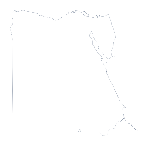
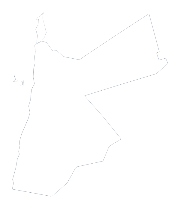
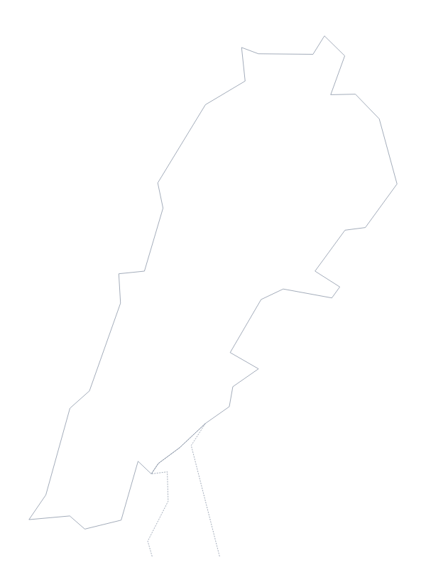
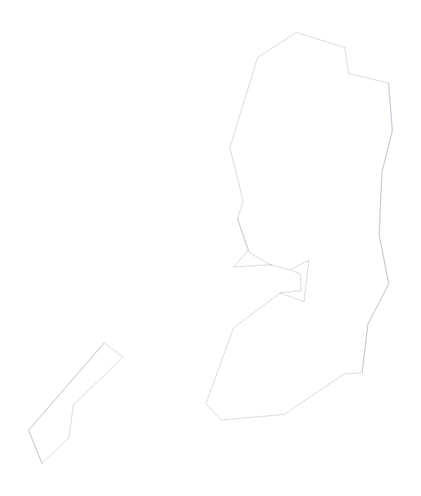
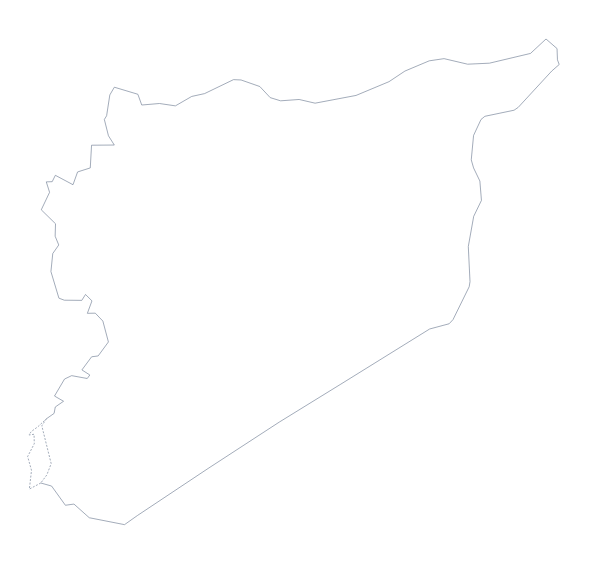
Israel is in Western Asia. The population is about 9.1 million (2019 estimate). It borders Egypt, Jordan, Lebanon, Palestine and Syria. The map divides it into 6 administrative areas. Its status is disputed.
Maps of neighbouring places
Questions people ask
What is the difference between Outline only and With borders?
Outline only is the shape with no inner lines. With borders draws the 6 administrative areas as separate shapes, ready to number or label in your own worksheet. Neither version has names on it.
Which file should I use in a worksheet, a slide or a design?
Use the PNG for a worksheet or a slide; its transparent background lets the page show through. Use the SVG for Illustrator, Inkscape or Figma, and the PDF for a print on A4 or Letter.
Can I colour the map in before I download it?
Not on this page, which has the bare files. Choose Customise this map to colour areas in the editor and download from there, or use the printable map of Israel to shade areas before printing a PDF.