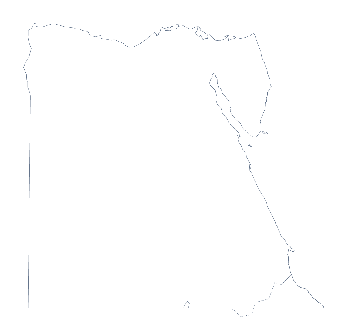
Blank map of Egypt
The outline, free as a PNG, SVG or PDF. Label it, colour it in or drop it into a slide.
Using a blank map of Egypt
Teachers building a unit on Egypt, students making a project poster and anyone putting together a slide about the country often need only its shape, ready to place in their own work. This page has two: Outline only, the shape of Egypt on its own, and With borders, which draws its 27 governorates. Each comes as a PNG on a transparent background, an SVG and a PDF.
A governorates quiz and other tasks
With borders is the political blank map of Egypt, with every governorate drawn and none named. Add a number to six of them in your worksheet, perhaps New Valley, Red Sea, North Sinai, Faiyum, Minya and Damietta, and ask pupils to name each one; the list of governorates further down this page is the answer sheet.
For younger pupils, Outline only makes a first map of their own: they colour the land, write Egypt across it in large letters and add a small key in one corner. Older pupils can work on With borders with an atlas open: mark Cairo, Alexandria, Giza, Ismailia and Port Said, then shade the governorate each city stands in.
On a slide or in a design
In a history or travel presentation, put the PNG on a dark slide. The background is transparent, so only the outline shows, and a title or three short points can sit beside it. Designers can open the SVG in Illustrator, Inkscape or Figma, where the outline scales to poster size without blurring and the governorate lines take any colour or weight.
Choosing the file
Take the PNG for a worksheet in a word processor and for slides, the SVG for design work and the PDF when you want Egypt on A4 or Letter exactly as it is drawn here. If the sheet needs names, cities pinned or a title, Customise this map opens the same outline in the editor. For black-and-white copies of a class set, go to the printable map of Egypt.
How to do it in MapMaker
- Choose With borders to show the 27 governorates, or Outline only for the shape of Egypt alone.
- Download the PNG for a slide or worksheet, the SVG for a design tool, or the PDF for your paper size.
- Place the outline in your document and add numbers or boxes beside the governorates you want named.
- Check answers against the list of governorates further down this page.
- For names, pins or a title on the map itself, choose Customise this map and download from the editor.
The 27 governorates on the map
A key for labelling the map by hand.
- Al Sharqia
- Alexandria
- Aswan
- Asyut
- Beheira
- Beni Suef
- Cairo
- Dakahlia
- Damietta
- Faiyum
- Gharbia
- Giza
- Ismailia
- Kafr el-Sheikh
- Luxor
- Matrouh
- Minya
- Monufia
- New Valley
- North Sinai
- Port Said
- Qalyubia
- Qena
- Red Sea
- Sohag
- South Sinai
- Suez
Facts about Egypt
Egypt is in Northern Africa. The capital is Cairo. The population is about 100 million (2019 estimate). Egypt has an area of about 1,000,000 km². The largest cities are Cairo, Alexandria, Giza, Ismailia and Port Said. It borders Israel, Libya, Palestine and Sudan. The map divides it into 27 governorates.
Maps of neighbouring places
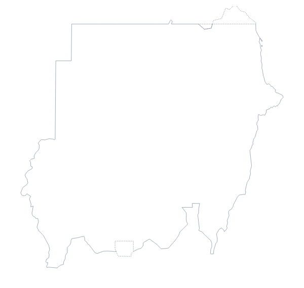
Questions people ask
Is there a political blank map of Egypt?
Yes: it is the With borders version. It draws the lines of all 27 governorates with no names on them, so pupils can label each one from the list of governorates on this page.
Does the blank map show the names of the governorates?
No. A blank map has no names, so the governorates are left for pupils to write in. To get a copy with names shown, choose Customise this map, turn the names on in the editor and download from there.
Which file should I use in a worksheet, a slide or a design?
The PNG for a worksheet or a slide, since its background is transparent and it drops onto any page. The SVG for Illustrator, Inkscape or Figma, where Egypt can be scaled up without blurring. The PDF to print the outline on A4 or Letter.