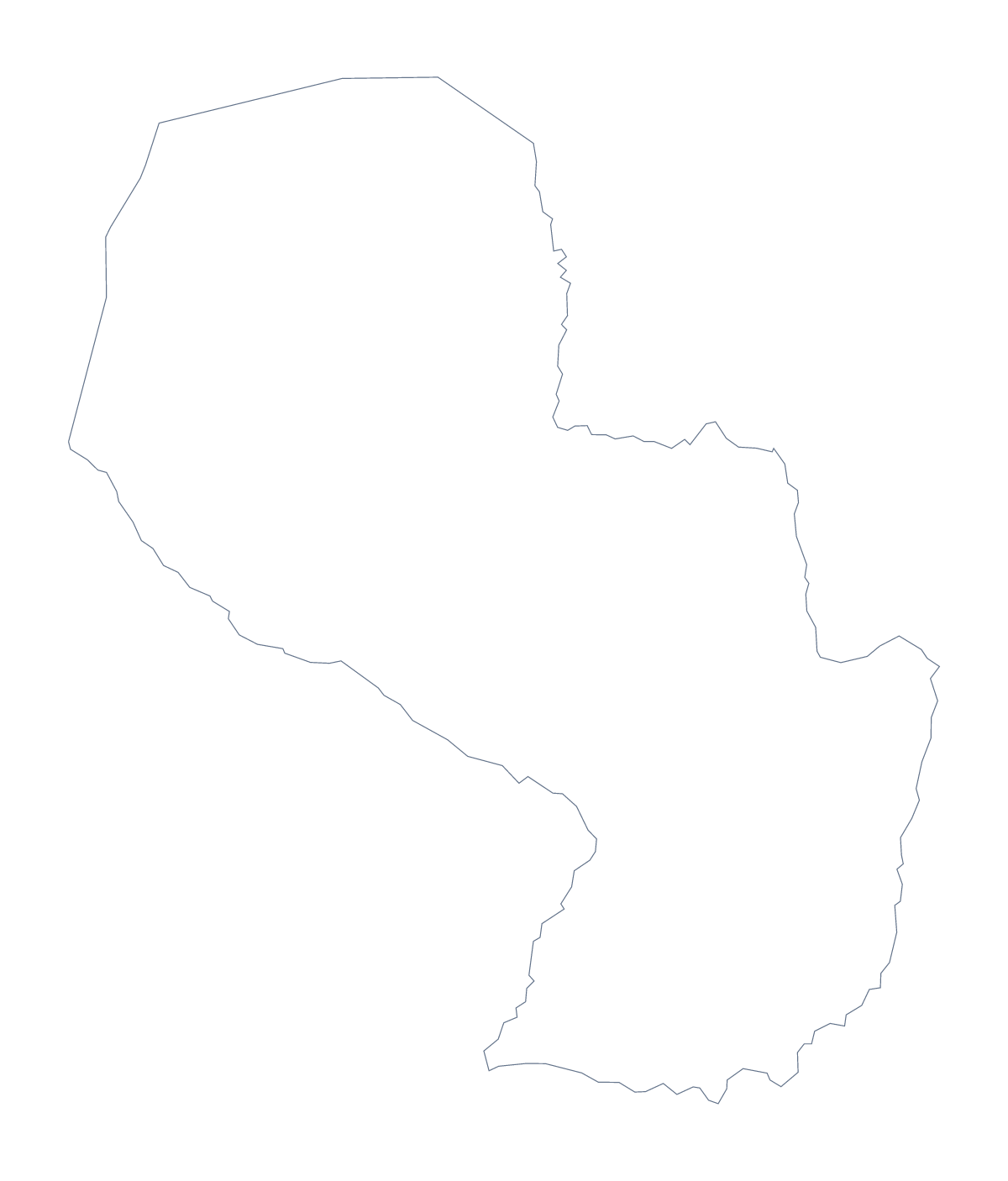
Blank map of Paraguay
The outline, free as a PNG, SVG or PDF. Label it, colour it in or drop it into a slide.
Using a blank map of Paraguay
People who need a blank map of Paraguay are often making something with their hands as well as their screens: a jigsaw for a class, a poster, a cut-out for a display. This page gives you the shape as a file. Outline only is Paraguay with nothing inside it, and With borders adds its 18 administrative areas. Each comes as a PNG, an SVG or a PDF.
A jigsaw from the areas
Print the With borders PDF on card and cut along the area lines to make a jigsaw of 18 pieces for younger children. They fit the pieces together and name each one from a key you write on the board. The list further down this page is the answer sheet. The same idea works on a screen: in a design tool, give every area its own fill and move the shapes apart.
For a quiz or a slide
For older pupils, place the With borders PNG in a worksheet and number the areas you want named, such as Caaguazú, Itapúa and Boquerón. The transparent background lets it sit on a tinted box or a slide colour, with room for a title. The political blank map of Paraguay is the With borders version, and Outline only is better for covers or a stencil.
Taking it further
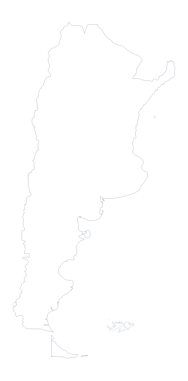
Names, pins and colours are on Customise this map. For a sheet with colour and ink choices, see the printable map of Paraguay. Neighbouring Argentina has its own file on the blank map of Argentina.
How to do it in MapMaker
- Choose With borders for the 18 administrative areas, or Outline only for the shape alone.
- Pick PDF, A4 or PDF, Letter to cut or print, PNG for a worksheet or slide, or SVG for a design tool.
- Place the PNG on your page and resize it from a corner, so it keeps its proportions.
- Number the areas for a quiz and check answers against the list on this page.
- Choose Customise this map to add names, colours or a title.
The 18 administrative areas on the map
A key for labelling the map by hand.
- Alto Paraguay
- Alto Paraná
- Amambay
- Asunción
- Boquerón
- Caaguazú
- Caazapá
- Canindeyú
- Central
- Concepción
- Cordillera
- Guairá
- Itapúa
- Misiones
- Ñeembucú
- Paraguarí
- Presidente Hayes
- San Pedro
Facts about Paraguay
Paraguay is in South America. The capital is Asunción. The population is about 7 million (2019 estimate). Paraguay has an area of about 401,000 km². The largest cities are Asunción, San Lorenzo, Encarnación, Ciudad del Este and Pedro Juan Caballero. It borders Argentina, Bolivia and Brazil. The map divides it into 18 administrative areas.
Maps of neighbouring places
Questions people ask
What is the difference between Outline only and With borders?
Outline only is the plain shape of Paraguay. With borders adds the lines between its 18 administrative areas, which makes it the political blank map of Paraguay. Neither has any names on it.
Does the PNG have a transparent background?
Yes. Everything around Paraguay is see-through, so the map takes on the colour of the slide, worksheet box or poster you place it on.
Can I open the SVG in Illustrator, Inkscape or Figma?
Yes. It is a vector file, so you can recolour the areas, thicken the lines or trace the shape in a design tool, and it stays sharp at any size.
Can I print the blank map?
Yes. Each version has a PDF for A4 or Letter that prints at 100%. For black and white, or colouring areas before you print, use the printable map of Paraguay.