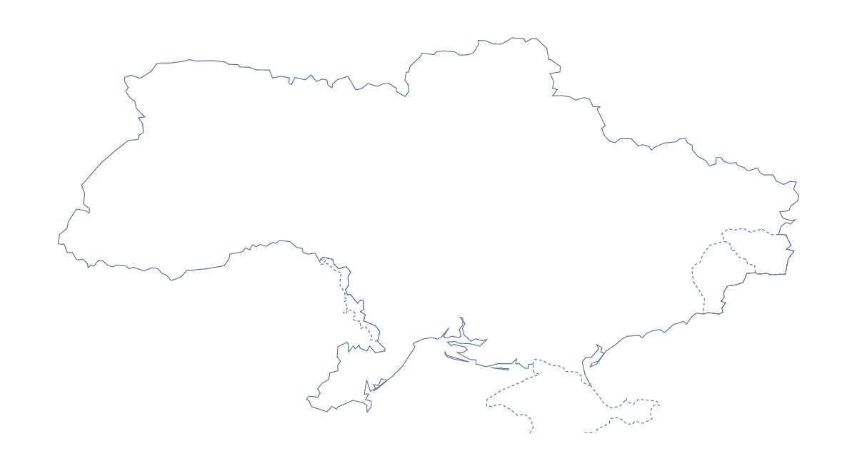
Blank map of Ukraine
The outline, free as a PNG, SVG or PDF. Label it, colour it in or drop it into a slide.
Using a blank map of Ukraine
A blank outline of Ukraine is the starting point for a lot of homemade work: a school worksheet, a slide for an assembly or a talk, a poster for a community event, a craft table. Outline only is the shape with nothing inside it, and With borders draws its administrative areas. Each comes as a PNG, an SVG and a PDF.
A numbered quiz in your own worksheet
Place the PNG of With borders in a worksheet and write numbers in a few areas, such as Sumy, Chernihiv, Zhytomyr and Khmelnytskyi. Pupils write the name for each number underneath, and the list of administrative areas further down this page gives you the answers. Change the numbered areas for the next class and the same file makes a fresh quiz.
On a slide or in a design
For an assembly or a community talk, the transparent PNG sits on the slide's own colour with a heading above it and a photograph beside it. The SVG opens in Illustrator, Inkscape or Figma, where the outline can be thickened, filled in one colour or traced for a banner; because it is a vector, it can be blown up to poster size without blurring. For a craft table, print Outline only and let children cut the shape out of card, then decorate it however they like.
Which file to take
The PNG is for documents and slides, the SVG for design tools and large prints, and PDF, A4 or PDF, Letter for the outline on paper, in colour. With borders suits anything about the areas; Outline only suits a silhouette, a cover or younger children.
When the outline is not enough
Names, pins, a title or colours need the editor: Customise this map opens the same outline there. For black-and-white copies, or areas coloured on the page before printing, the printable map of Ukraine is the one to use, and the editable map of Ukraine has the bar of map tools and the embed code.
How to do it in MapMaker
- Choose With borders for a quiz on the areas, or Outline only for colouring or a design.
- Download the PNG to drop onto a slide, the SVG for a design tool or PDF, A4 to print.
- Number the areas you want named and keep the list on this page as the key.
- Choose Customise this map for names, a title or colours, then download from the editor.
The 25 administrative areas on the map
A key for labelling the map by hand.
- Cherkasy
- Chernihiv
- Chernivtsi
- Dnipropetrovsk
- Donetsk
- Ivano-Frankivsk
- Kharkiv
- Kherson
- Khmelnytskyi
- Kirovohrad
- Kyiv
- Kyiv
- Luhansk
- Lviv
- Mykolaiv
- Odessa
- Poltava
- Rivne
- Sumy
- Ternopil
- Vinnytsia
- Volyn
- Zakarpattia
- Zaporizhzhia
- Zhytomyr
Facts about Ukraine
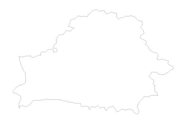
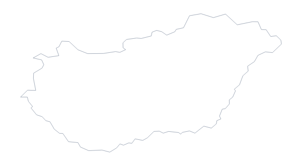
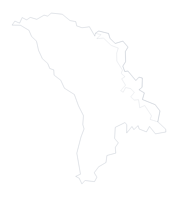
Ukraine is in Eastern Europe. The capital is Kyiv. The population is about 44 million (2019 estimate). Ukraine has an area of about 570,000 km². The largest cities are Kyiv, Kharkiv, Dnipro, Odessa and Donetsk. It borders Belarus, Hungary, Moldova, Poland, Romania, Russia and Slovakia. The map divides it into 25 administrative areas.
Maps of neighbouring places
Questions people ask
What is the difference between Outline only and With borders?
Outline only shows the shape of Ukraine with no lines inside. With borders adds the lines of its administrative areas, so you can number, label or colour Kyiv, Lviv, Odessa and the rest. No names are printed on either.
Is there an answer key for a labelling quiz?
Yes. The list of administrative areas further down this page names every area that With borders draws. Number the ones on your quiz and mark the answers against that list.
Can I print the blank map?
Yes. Choose PDF, A4 or PDF, Letter for a colour copy, and print it at 100%. For black and white, or a version you colour in first, use the printable map of Ukraine instead.