Blank map of Slovenia
The outline, free as a PNG, SVG or PDF. Label it, colour it in or drop it into a slide.
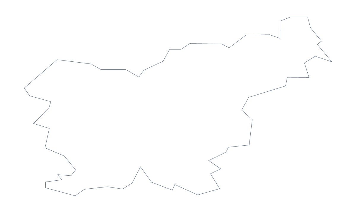
Using a blank map of Slovenia
Most people looking for a blank map of Slovenia want the shape of the country for something else: a cover for a report, a poster, a title slide, a worksheet. Choose Outline only for the plain shape or With borders for the 193 administrative areas, and take it as a PNG, an SVG or a PDF.
Which version suits a design
For a poster or a cover, Outline only is usually the better file: a single shape to fill with a photo, a colour or a pattern. With borders gives you texture, 193 small shapes you can leave as thin lines or colour in groups. In Illustrator, Inkscape or Figma, select a group of areas in the SVG and give them a shared fill to make a territory.
Labels and quizzes
A blank map with 193 areas would swamp a labelling sheet, so use it selectively. Number twelve areas on the PNG and keep the full list on this page as the answer sheet. That makes a fair quiz for older pupils. For younger ones, the outline alone works: they colour the shape and add a title. If your slide has a dark background, the transparent PNG will show only the shape, and you can place text around it.
Taking it further
The political blank map of Slovenia is With borders. For names, colours or a title, choose Customise this map and download from the editor. The PDF on A4 or Letter prints at 100%; for paper and ink choices, see the printable map of Slovenia, and for the shape beside the countries around it, the blank map of Europe.
How to do it in MapMaker
- Choose Outline only for the whole country, or With borders for the 193 areas.
- Pick SVG for a design tool, PNG for a slide or worksheet, or a PDF for A4 or Letter.
- Place the file, resize it from a corner and number the areas you want named.
- Choose Customise this map for names, a title or colours, and download from the editor.
The 193 administrative areas on the map
A key for labelling the map by hand.
- Ajdovščina
- Apače
- Beltinci
- Benedikt
- Bistrica ob Sotli
- Bled
- Bloke
- Bohinj
- Borovnica
- Bovec
- Braslovče
- Brda
- Brežice
- Brezovica
- Cankova
- Celje
- Cerklje na Gorenjskem
- Cerknica
- Cerkno
- Cerkvenjak
- Črenšovci
- Črna na Koroškem
- Črnomelj
- Destrnik
- Divača
- Dobje
- Dobrepolje
- Dobrna
- Dobrova–Polhov Gradec
- Dobrovnik
- Dol pri Ljubljani
- Dolenjske Toplice
- Domžale
- Dornava
- Dravograd
- Duplek
- Gorišnica
- Gornja Radgona
- Gornji Grad
- Gornji Petrovci
- Grad
- Grosuplje
- Hajdina
- Hoče-Slivnica
- Hodoš
- Horjul
- Hrastnik
- Hrpelje-Kozina
- Idrija
- Ig
- Ilirska Bistrica
- Ivančna Gorica
- Izola
- Jesenice
- Jezersko
- Juršinci
- Kamnik
- Kanal ob Soči
- Kidričevo
- Kobarid
- Kobilje
- Kočevje
- Komen
- Komenda
- Koper
- Kostel
- Kozje
- Kranj
- Kranjska Gora
- Križevci
- Krsko
- Krško
- Kungota
- Kuzma
- Laško
- Lenart
- Lendava
- Litija
- Ljubljana
- Ljubno
- Ljutomer
- Logatec
- Loška Dolina
- Loški Potok
- Lovrenc na Pohorju
- Luče
- Lukovica
- Majšperk
- Maribor
- Markovci
- Medvode
- Mengeš
- Metlika
- Mežica
- Miklavž na Dravskem Polju
- Miren–Kostanjevica
- Mirna Peč
- Mislinja
- Moravče
- Moravske Toplice
- Mozirje
- Murska Sobota
- Muta
- Naklo
- Nazarje
- Nova Gorica
- Novo Mesto
- Občina Gorenja vas-Poljane
- Odranci
- Oplotnica
- Ormož
- Pesnica
- Piran
- Pivka
- Podčetrtek
- Podlehnik
- Podvelka
- Polzela
- Postojna
- Prebold
- Preddvor
- Prevalje
- Ptuj
- Puconci
- Rače–Fram
- Radeče
- Radenci
- Radlje ob Dravi
- Radovljica
- Ravne na Koroškem
- Razkrižje
- Ribnica
- Ribnica na Pohorju
- Rogaška Slatina
- Rogašovci
- Rogatec
- Ruše
- Šalovci
- Selnica ob Dravi
- Semič
- Šempeter–Vrtojba
- Šenčur
- Šentilj
- Šentjernej
- Šentjur
- Sevnica
- Sežana
- Škocjan
- Škofja Loka
- Škofljica
- Slovenj Gradec
- Slovenska Bistrica
- Slovenske Konjice
- Šmarje pri Jelšah
- Šmartno ob Paki
- Šmartno pri Litiji
- Sodražica
- Solčava
- Šoštanj
- Starše
- Štore
- Sveta Ana
- Sveti Andraž v Slovenskih Goricah
- Sveti Jurij ob Ščavnici
- Tabor
- Tolmin
- Trbovlje
- Trebnje
- Trnovska Vas
- Tržič
- Trzin
- Turnišče
- Velenje
- Velika Polana
- Velike Lašče
- Veržej
- Videm
- Vipava
- Vitanje
- Vodice
- Vojnik
- Vransko
- Vrhnika
- Vuzenica
- Zagorje ob Savi
- Žalec
- Zavrč
- Železniki
- Žetale
- Žiri
- Žirovnica
- Zreče
- Žužemberk
Facts about Slovenia
Slovenia is in Southern Europe. The capital is Ljubljana. The population is about 2.1 million (2019 estimate). Slovenia has an area of about 20,300 km². The largest cities are Ljubljana and Maribor. It borders Austria, Croatia, Hungary and Italy. The map divides it into 193 administrative areas.
Maps of neighbouring places
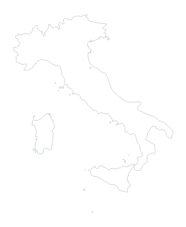
Questions people ask
What is the difference between Outline only and With borders?
Outline only is the shape of Slovenia with nothing inside it. With borders adds the lines of all 193 administrative areas. Neither version has names on it, so every label is yours to add.
Is there a political blank map of Slovenia?
Yes. The With borders version is the political blank map, drawn with the lines of the 193 administrative areas and no names.
Can I make the outline bigger without it going blurry?
Yes, take the SVG. It is a vector file, so Slovenia stays sharp at any size, from a badge to a wall poster, in Illustrator, Inkscape or Figma. The PDF is vector too.
Can I show the countries around Slovenia?
Not on this page, which has the outline only. On the editable map of Slovenia, switch on Neighbours to draw Austria, Croatia, Hungary and Italy in grey around it.