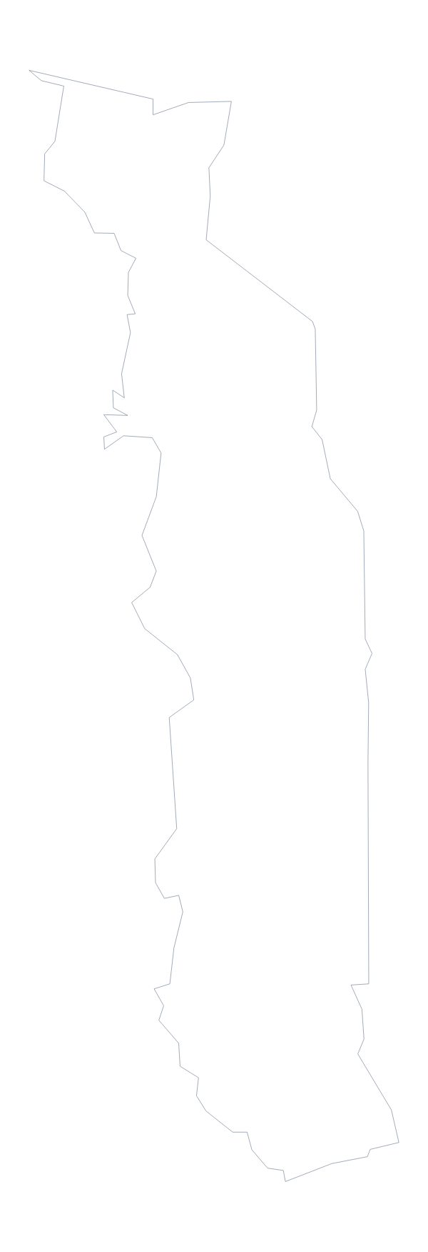
Blank map of Benin
The outline, free as a PNG, SVG or PDF. Label it, colour it in or drop it into a slide.
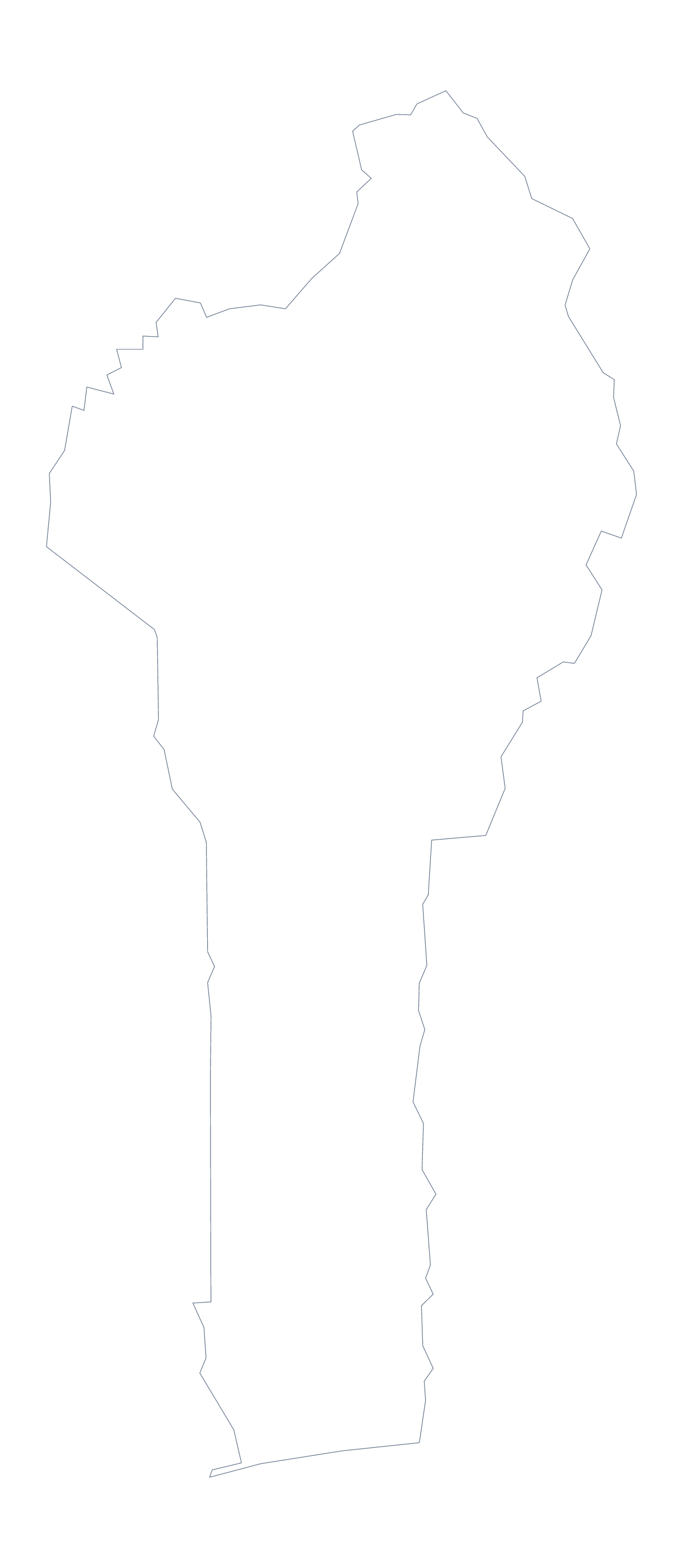
Using a blank map of Benin
You may want the shape of Benin to trace, cut or build on rather than a sheet to print. Two versions are on offer: Outline only, and With borders, which draws the 12 administrative areas. Each is a PNG on a transparent background, an SVG or a PDF for A4 or Letter.
An outline for making things
Because the SVG is a vector file, it opens in Illustrator, Inkscape or Figma and can be scaled to any size, so one file serves a classroom display and a postcard-sized illustration. Recolour the areas, drop the inner lines for a plain silhouette or keep a handful for a logo sketch. The PNG, with its transparent background, goes straight onto a coloured page.
A regional summary on one slide
With borders is the political blank map of Benin. Twelve shapes are few enough for a one-slide regional summary: paste the PNG onto the slide, lay text boxes over two or three areas such as Alibori, Borgou and Zou and put a line of figures beside each. The list further down this page gives the spellings to copy.
For younger pupils, Outline only works best as a map to colour in. Ask them to write Benin across it and invent a pattern for the whole shape.
Next steps
For names, pins or colours on the map itself, Customise this map opens the same outline in the editor. The PDF prints at 100% on A4 or Letter; for colour and ink choices, use the printable map of Benin.
How to do it in MapMaker
- Choose Outline only for the shape of Benin, or With borders for its 12 areas.
- Download the PNG, the SVG or a PDF for A4 or Letter, depending on where the map is going.
- Put the file on a slide or page and lay text boxes over the areas your summary covers.
- Copy the area names from the list further down this page into your text boxes.
- Choose Customise this map when you want names or colours drawn on the map.
The 12 administrative areas on the map
A key for labelling the map by hand.
- Alibori
- Atakora
- Atlantique
- Borgou
- Collines
- Donga
- Kouffo
- Littoral
- Mono
- Ouémé
- Plateau
- Zou
Facts about Benin
Benin is in Western Africa. The capital is Porto-Novo. The population is about 12 million (2019 estimate). Benin has an area of about 117,000 km². The largest cities are Cotonou, Porto-Novo, Djougou, Parakou and Kandi. It borders Burkina Faso, Niger, Nigeria and Togo. The map divides it into 12 administrative areas.
Maps of neighbouring places
Questions people ask
Is there a political blank map of Benin?
Yes: it is the With borders version, which draws the lines of the 12 administrative areas with no names. Pupils can label each one from the list of areas further down this page.
Does the blank map show the names of the areas?
No, a blank map has no names. To get a copy with names, choose Customise this map, show the names in the editor and download from there.
Which file should I use in a worksheet, a slide or a design?
The PNG for a worksheet or slide, since its transparent background takes the colour behind it. The SVG for design tools, where it scales without blurring. The PDF for A4 or Letter.
Can I show the countries around Benin?
Not on this page, which carries the outline only. Choose Customise this map and switch on Neighbours in the editor to draw the countries next to Benin in grey.