Blank map of Iran
The outline, free as a PNG, SVG or PDF. Label it, colour it in or drop it into a slide.
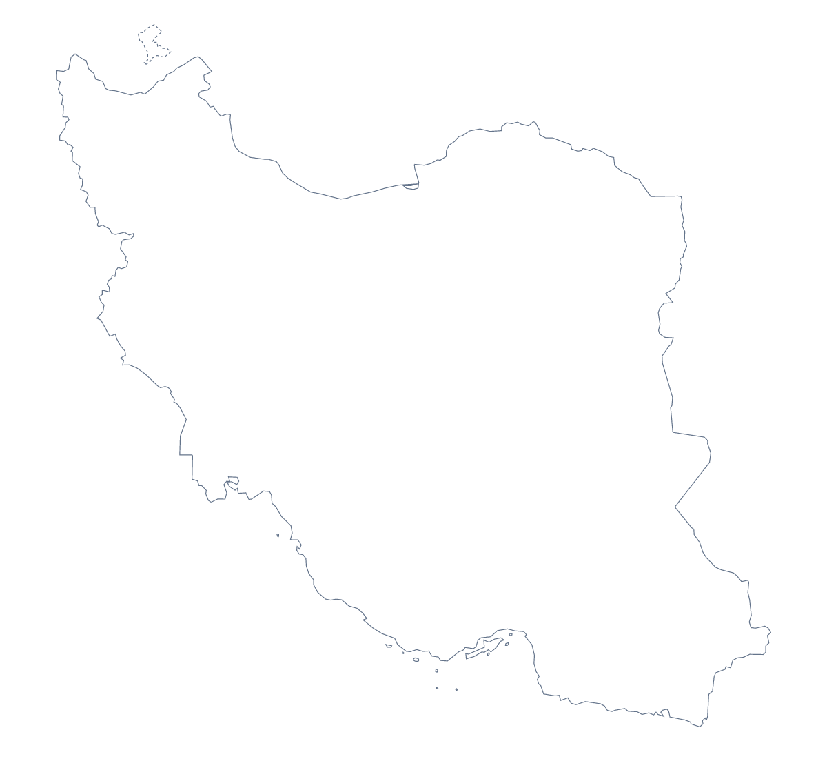
Using a blank map of Iran
For a map of Iran in your own colours, you need the shape as a clean file. This page offers Outline only, which is the country alone, and With borders, which adds the lines of its 31 administrative areas. Each version comes as a PNG on a transparent background, an SVG and a PDF for A4 or Letter.
Designers and presenters
Open the SVG in Figma, Illustrator or Inkscape and the 31 areas can be filled one by one: five shades for a data graphic, or one brand colour with a lighter shade for the area a story is about. For a presentation, the PNG goes on a slide as it is. Because its background is transparent, a navy slide stays navy around the shape.
A quiz in your own worksheet
With the With borders version, you have the political blank map of Iran: 31 shapes without names. For a short quiz, number Gilan, Fars, Yazd, Qom and Hormozgan on your copy, give pupils the five names in a jumbled order and ask them to match them to the numbers. The list below this page is the answer sheet.
Which one to take
Take Outline only for a silhouette or a first drawing, and With borders when the areas matter. Either one can take your own text in the page or slide around it. To have names or pins drawn for you, Customise this map opens the editor. For paper and ink choices, go to the printable map of Iran.
How to do it in MapMaker
- Choose With borders for the 31 areas, or Outline only for the shape of Iran alone.
- Download the PNG for a slide, the SVG for a design tool or the PDF for your paper size.
- Place the file in your document and number the areas for the quiz.
- Check answers against the list of areas lower down the page.
- For names, pins or colours on the map itself, choose Customise this map.
The 31 administrative areas on the map
A key for labelling the map by hand.
- Alborz
- Ardabil
- Bushehr
- Chaharmahal and Bakhtiari
- East Azerbaijan
- Fars
- Gilan
- Golestan
- Hamadan
- Hormozgan
- Ilam
- Isfahan
- Kerman
- Kermanshah
- Khuzestan
- Kohgiluyeh and Boyer-Ahmad
- Kurdistan
- Lorestan
- Markazi
- Mazandaran
- North Khorasan
- Qazvin
- Qom
- Razavi Khorasan
- Semnan
- Sistan and Baluchestan
- South Khorasan
- Tehran
- West Azerbaijan
- Yazd
- Zanjan
Facts about Iran
Iran is in Southern Asia. The capital is Tehran. The population is about 83 million (2019 estimate). Iran has an area of about 1,620,000 km². The largest cities are Tehran, Mashhad, Isfahan, Karaj and Tabriz. It borders Afghanistan, Armenia, Azerbaijan, Iraq, Pakistan, Turkey and Turkmenistan. The map divides it into 31 administrative areas.
Maps of neighbouring places
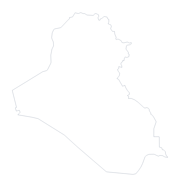
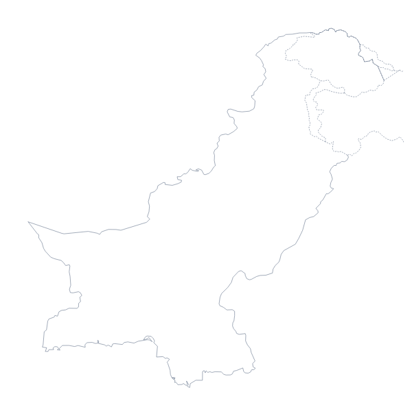
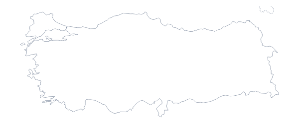
Questions people ask
Is there a political blank map of Iran?
Yes: it is the With borders version, which draws all 31 administrative areas with no names on them. The list of areas further down this page is the key for labelling.
What is the difference between Outline only and With borders?
Outline only is the shape of Iran with nothing inside. With borders adds the lines between the 31 administrative areas. Both are offered as a PNG, an SVG and a PDF on A4 or Letter.
Does the PNG have a transparent background?
Yes. Put the PNG on a slide or page and the colour behind it shows through, so only the shape of Iran appears. The SVG and the PDF are vector files that stay sharp when enlarged.
Can I open the SVG in Illustrator, Inkscape or Figma?
Yes. It is a standard SVG file, so all three open it, and each of the 31 areas can be recoloured, restyled or traced.