Blank map of the US
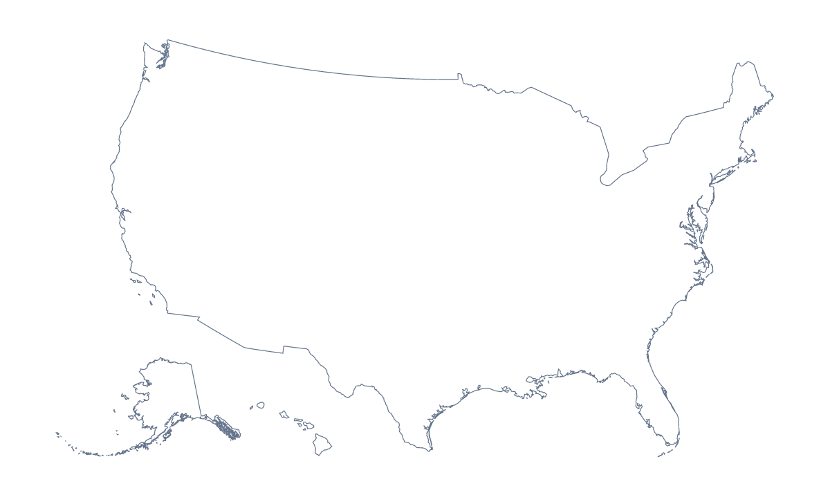
The outline, free as a PNG, SVG or PDF. Label it, colour it in or drop it into a slide.
Using a blank map of the United States of America
A blank map of the United States is a starting point rather than a finished sheet: you put it into the worksheet, the slide or the design you are making. Outline only is the country's shape with nothing inside, and With borders draws all 50 states and the District of Columbia, with no names. Each comes as a PNG on a transparent background, an SVG or a PDF.
Slides and reports
Put the With borders map on each slide and fill a different state, or a group of states, every time, so a talk about the country moves across it. In a report, drop the PNG into a word processor and set your text round it. The list further down this page gives the names, the District of Columbia among them.
In a slide or a design
On a slide, the transparent PNG lets the United States sit on your theme colour with no white box around it, so a headline or a few figures can go beside it. In Illustrator, Inkscape or Figma, the SVG scales without softening: trace the state lines for a poster, give them a heavier weight for a report cover or recolour them to match a brand.
Which version, which file
The political blank map of the US is the With borders version, the one for the states as shapes. Outline only is for a silhouette, a logo sketch or a cover. Take the PNG for worksheets and slides, the SVG for design tools and a PDF for Letter or A4. For black and white or print settings, use the printable map of the US; for names and colours, choose Customise this map. The blank map of the US states leads with the states.
How to do it in MapMaker
- Choose With borders for the 50 states and the District of Columbia, or Outline only for the country's shape.
- Download the PNG for a worksheet or slide, the SVG for a design tool or PDF, Letter or PDF, A4 to print.
- Place the file on your page and resize it from a corner, so the outline keeps its proportions.
- Fill the states your slide covers and take their names from the list on this page.
- Choose Customise this map for names, colours or a title, then download from the editor.
The 50 states and the District of Columbia on the map
A key for labelling the map by hand.
- Alabama
- Alaska
- Arizona
- Arkansas
- California
- Colorado
- Connecticut
- Delaware
- District of Columbia
- Florida
- Georgia
- Hawaii
- Idaho
- Illinois
- Indiana
- Iowa
- Kansas
- Kentucky
- Louisiana
- Maine
- Maryland
- Massachusetts
- Michigan
- Minnesota
- Mississippi
- Missouri
- Montana
- Nebraska
- Nevada
- New Hampshire
- New Jersey
- New Mexico
- New York
- North Carolina
- North Dakota
- Ohio
- Oklahoma
- Oregon
- Pennsylvania
- Rhode Island
- South Carolina
- South Dakota
- Tennessee
- Texas
- Utah
- Vermont
- Virginia
- Washington
- West Virginia
- Wisconsin
- Wyoming
Facts about the United States of America
The United States of America is in Northern America. The capital is Washington, D.C. The population is about 330 million (2019 estimate). The United States of America has an area of about 9,450,000 km². The largest cities are New York, Los Angeles, Chicago, Miami and Philadelphia. It borders Canada and Mexico. The map divides it into 50 states and the District of Columbia.
Maps of neighbouring places
Questions people ask
Is there a political blank map of the US?
Yes: the With borders version. It draws all 50 states and the District of Columbia as separate shapes with no names, ready to label, number for a quiz or colour in. Outline only is the country's shape alone.
Does the PNG have a transparent background?
Yes. Everything around the outline is see-through, so the map takes on the colour of whatever it sits on: a slide in your brand colours, a tinted worksheet box or a poster background.
Is there an answer key for a labelling quiz?
Yes. The list of states further down this page names the 50 states and the District of Columbia that With borders draws. Number the ones you want named and mark the answers against the list.
Is there a blank map of the US states on its own?
Yes. The blank map of the US states has the same two versions but leads with the states, so it suits quizzes. This page is the country's own, with Outline only and With borders on the same outline.
Can I print the blank map of the US?
Yes. Each version has a PDF for Letter and a PDF for A4, which prints at 100%. For black and white or a sheet coloured before printing, use the printable map of the US.