Blank map of the Balkans
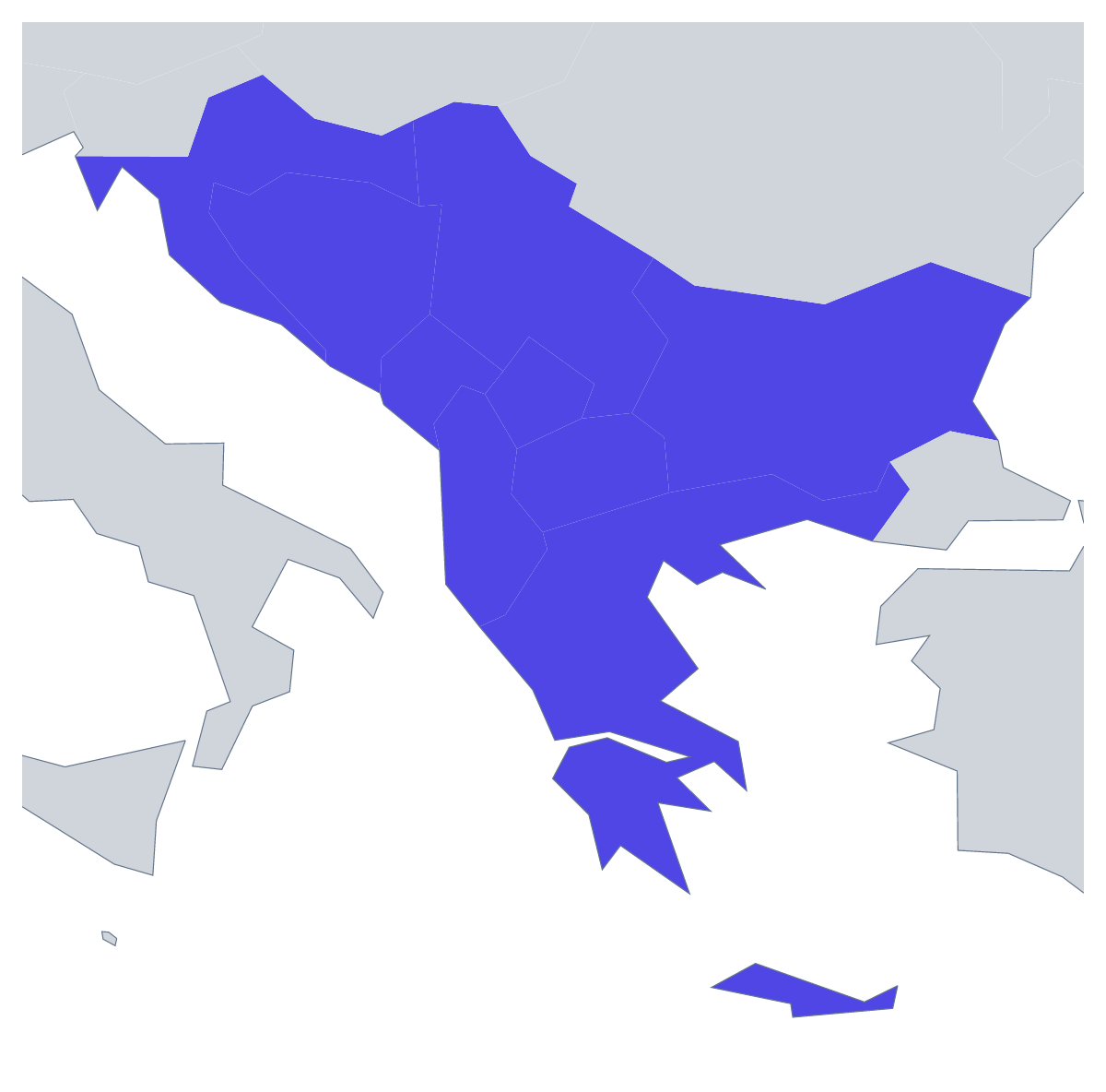
The outline, free as a PNG, SVG or PDF. Label it, colour it in or drop it into a slide.
Using a blank map of the Balkans
A blank outline of the Balkans is usually headed for a screen or a print shop rather than a desk: a slide for a talk on a trip through the region, a festival or tour poster, the cover of a report, a map graphic for a blog post. Choose With borders for the nine countries or Outline only for the land as one shape, then the file you need: a PNG with a transparent background, an SVG or a PDF.
Talks and blog posts
A travel talk can open on a dark slide with the transparent PNG in the middle and the route of the trip drawn over it in the slide software, stop by stop. For a blog, the same PNG makes a header image above a post on the region; on a coloured background it needs no box around it.
Posters and artwork
Designers can take the SVG into Illustrator, Inkscape or Figma and give the borders a brand colour, set a heavier outline for a large poster, or fill the one country a festival, a tour date or a project is in while the others stay pale. Cut from card or vinyl, the outline also makes a stencil for a display board.
Picking a version and a file
With borders is the political blank map of the Balkans, the version to use whenever the countries need to be told apart; Outline only suits a silhouette, an icon or a small logo sketch. Use the PNG in documents and decks and the SVG wherever the outline will be redrawn or resized; the PDF prints on A4 or Letter. If your course or report counts more countries as Balkan, Customise this map opens the outline in the editor, where Custom set… under More, then Place, lets you add them. For black-and-white copies of a class set, see the printable map of the Balkans.
How to do it in MapMaker
- Choose With borders for the nine countries, or Outline only for the land of the region.
- Pick PNG when the map is going onto a slide or a page, or SVG when a designer will work on it.
- For a printed sheet, choose PDF, A4 or PDF, Letter.
- Choose Customise this map for names, colours, a title or your own list of countries, then download from the editor.
The 9 members on the map
A key for labelling the map by hand.
- Albania
- Bosnia and Herzegovina
- Bulgaria
- Croatia
- Greece
- Kosovo
- Montenegro
- North Macedonia
- Serbia
Facts about the Balkans
This map shows the countries usually counted as the Balkans; some definitions add others. 9 members are on the map. The members are Albania, Bosnia and Herzegovina, Bulgaria, Croatia, Greece, Kosovo, Montenegro, North Macedonia and Serbia.
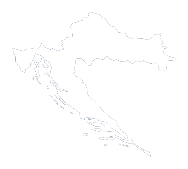
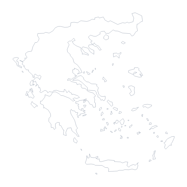
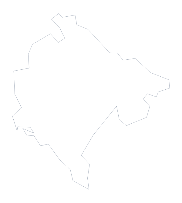
Maps of places in the Balkans
Questions people ask
Is there a political blank map of the Balkans?
Yes: the With borders version. It draws the borders between the nine countries this map counts as the Balkans and leaves every country unnamed, so you can fill, style or name each one yourself.
Which countries are on the blank map of the Balkans?
Albania, Bosnia and Herzegovina, Bulgaria, Croatia, Greece, Kosovo, Montenegro, North Macedonia and Serbia. The list further down this page gives them all by name.
Which file should I use in a worksheet, a slide or a design?
The PNG for worksheets and slides, since its transparent background takes the colour of the page. The SVG for Illustrator, Inkscape or Figma, where the outline of the Balkans scales without blurring. The PDF to print it on A4 or Letter.