Blank map of Central Asia
The outline, free as a PNG, SVG or PDF. Label it, colour it in or drop it into a slide.
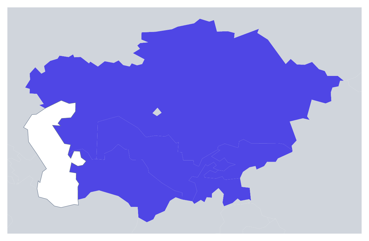
Using a blank map of Central Asia
With only five countries, a blank map of Central Asia can be handled almost like a logo shape: it sits easily on a title slide, a travel-talk poster, a report cover or the header of a worksheet. With borders gives you the five countries as separate shapes. Outline only gives the land as one. Each is a PNG on a transparent background, an SVG or a PDF.
Easy to place
Because there are so few shapes, the PNG sits easily at the top of a page of text: a handout, a regional briefing or the first page of a report. Add a heading and a few lines for each country in your word processor, and use the list further down this page to check the spelling of each name.
For a talk or a poster
A speaker can use the transparent PNG on a dark title slide and draw a route over it in the slide software, stop by stop. A designer can take the SVG into Illustrator, Inkscape or Figma and fill a single country in an accent colour for an event, with the other four pale. The region's shape is also simple enough to cut from card as a template for a classroom display.
With borders or without
With borders is the political blank map of Central Asia, and it is the one to pick when the countries must be told apart. Outline only reads as one piece, which is better for an icon or a decorative corner. Use the PNG for slides and documents, the SVG for redrawing and a PDF for A4 or Letter. For names, colours or pins, start from the editable map of Central Asia.
How to do it in MapMaker
- Choose With borders for the five countries, or Outline only for the region as one shape.
- Take the PNG into a slide or worksheet, or the SVG into a design tool.
- Use PDF, A4 or PDF, Letter for a sheet to print as it is.
- Open Customise this map for names, colours or a title, then download from the editor.
The 5 members on the map
A key for labelling the map by hand.
- Kazakhstan
- Kyrgyzstan
- Tajikistan
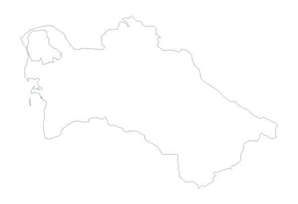
- Turkmenistan
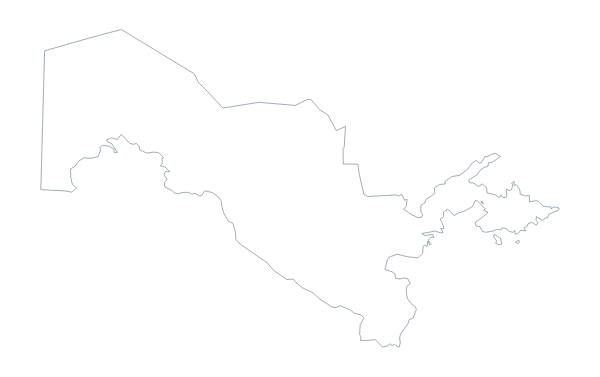
- Uzbekistan
Facts about Central Asia
5 members are on the map. The members are Kazakhstan, Kyrgyzstan, Tajikistan, Turkmenistan and Uzbekistan.
Maps of places in Central Asia
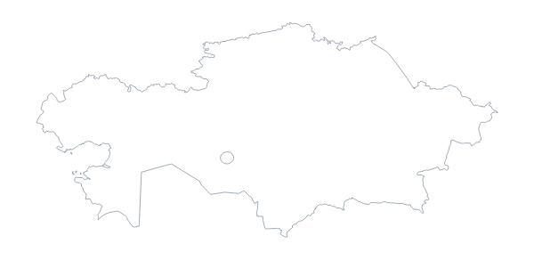
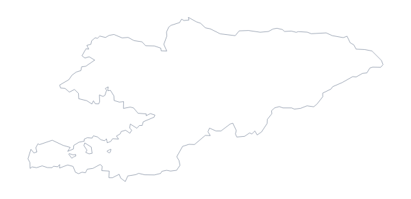
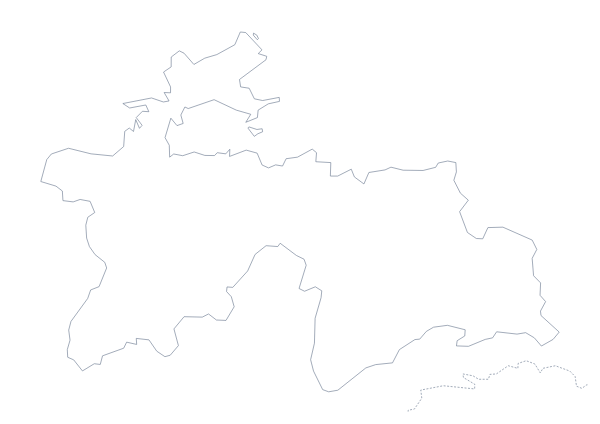
Questions people ask
Is there a political blank map of Central Asia?
Yes: the With borders version. It draws the borders between the five countries on the map and puts no names on them, so each country is a shape to name, colour or restyle.
What is the difference between Outline only and With borders?
Outline only shows the land of the region as one shape with no lines inside it. With borders adds the lines between the five countries, for any use where they need telling apart.
Does the PNG have a transparent background?
Yes. Only the land is drawn, so the outline of Central Asia sits on the colour of your slide, worksheet or poster with no white box around it.