Editable map of Côte d'Ivoire
Colour the regions, add cities and labels, and download it in minutes. Free, no sign-up.
Ideas for a map of Côte d'Ivoire
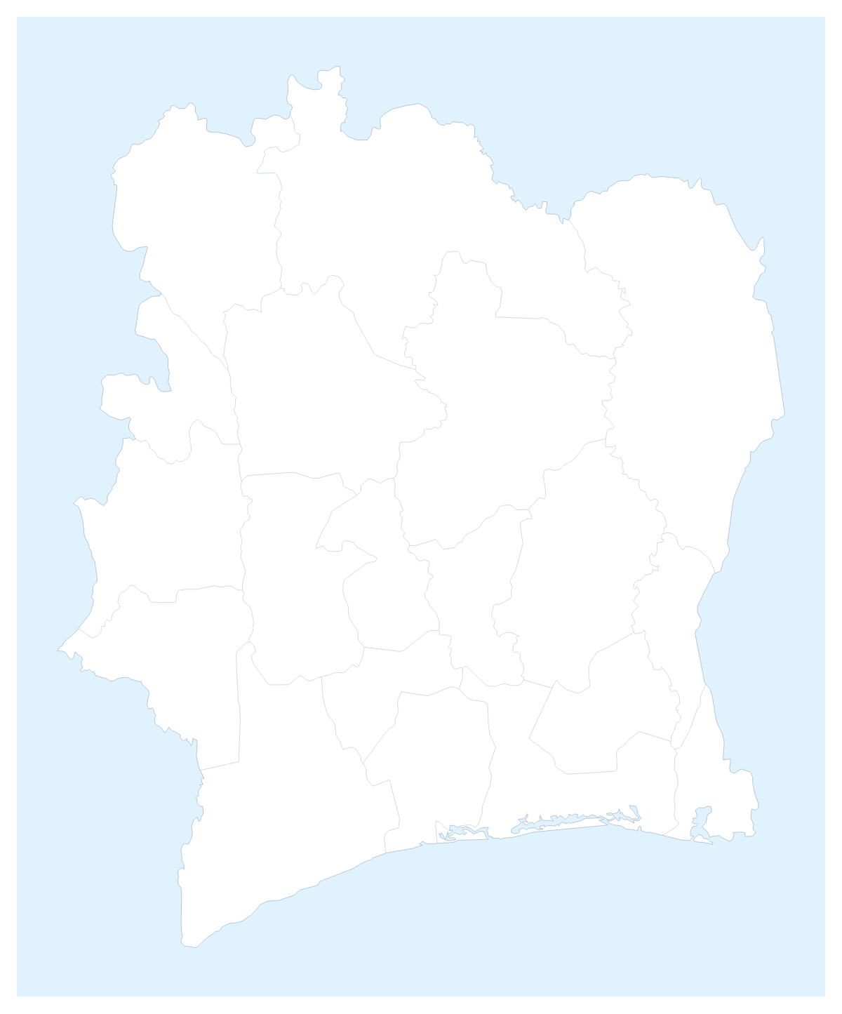
A market-entry deck, a sales review and a geography project all want the same thing from a map of Côte d'Ivoire: a clear outline they can mark by area. This one opens in the editor with its 19 administrative areas drawn, so the first job is deciding what each colour means.
Areas, cities and a regional slide
A distributor might colour the areas by who serves them: one colour for Lagunes and Sud-Comoé, another for Savanes and Denguélé, a third for the rest. The legend then names the three teams, and the map does the explaining that a list of 19 areas cannot.
The capital and the largest city are different places on this map. Yamoussoukro is the capital and Abidjan is first on the list of largest cities, so a visit plan can pin Abidjan, Bouaké, Daloa and San-Pedro with the city search and number the stops.
For a regional slide, Neighbours draws Burkina Faso, Ghana, Guinea, Liberia and Mali in grey beside the country.
Customising the details
In the editor, the place list on the left names every area, which is quicker than finding Moyen-Cavally or Worodougou by eye. Choose Show names for the few areas the slide talks about. Add a title on the Canvas tab and a legend if the colours carry meaning. Dot or Soft give a lighter look than Classic.
Which file
PNG or JPG for a document, SVG for Illustrator, Inkscape or Figma, PDF on A4, Letter or A3 for a wall or a handout.
Putting it on a slide
For PowerPoint, Google Slides or Keynote, set the 16:9 canvas, download the PNG and tick Transparent if the background is coloured. A dark theme suits the Dark style. The map for PowerPoint page goes further, and the printable map of Côte d'Ivoire is there for a paper copy.
How to do it in MapMaker
- Click a colour in the bar on the map and then the areas each team covers; switch on Neighbours if the slide needs Ghana or Mali beside it.
- Choose Customise this map to continue in the editor, where all 19 areas are listed.
- Pin Abidjan and Yamoussoukro with Find a city and add a title on the Canvas tab.
- Choose Download and pick PNG for a deck or SVG for a design tool.
Embed this map
Paste this code into your website to show this map of Côte d'Ivoire, with a small credit link back to MapMaker.so.
Facts about Côte d'Ivoire
Côte d'Ivoire is in Western Africa. The capital is Yamoussoukro. The population is about 26 million (2019 estimate). Côte d'Ivoire has an area of about 322,000 km². The largest cities are Abidjan, Bouaké, Daloa, San-Pedro and Yamoussoukro. It borders Burkina Faso, Ghana, Guinea, Liberia and Mali. The map divides it into 19 administrative areas.
Maps of neighbouring places
Questions people ask
Can I colour the 19 administrative areas of Côte d'Ivoire?
Yes. Pick a colour in the bar on the map and click each area; a second click clears it. Customise this map opens the editor, where the place list names every area from Agnéby to Zanzan.
Can I pin Abidjan and Yamoussoukro?
Yes. Choose Add your cities and search for either name. The capital and the largest city are different places on this map, so pin both if your slide needs them.
How do I show the countries next to Côte d'Ivoire?
Switch on Neighbours in the bar on the map. Ghana, Liberia, Guinea, Mali and Burkina Faso are drawn in grey around the outline, which suits a market-entry or supply slide.
Can I make the map fit a 16:9 slide?
Yes. Set the canvas to 16:9 in the editor before you place the title and pins, then download a PNG. Turn on Transparent if the slide has its own background.