Printable map of Côte d'Ivoire
Free PDFs, ready for A4 or Letter. Print in colour or black and white.
Printing a map of Côte d'Ivoire
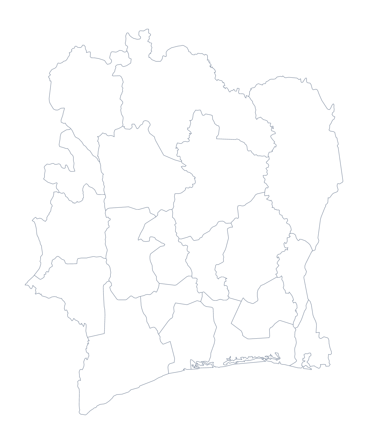
A sheet of Côte d'Ivoire for the classroom often starts with a puzzle: the capital is not the largest city. That makes this map useful for a geography lesson as well as for labelling. You can print the blank outline or the version with its 19 administrative areas, on A4 or Letter, in colour or black and white.
Capital against largest city
Give each pupil the regions version and two tasks. First, mark Yamoussoukro, the capital. Second, mark Abidjan, which tops the list of largest cities, then Bouaké, Daloa and San-Pedro. Ask where the capital falls in that list and what the class makes of it. The list gives only the order of size, so an atlas supplies the positions.
Labelling the 19
Older pupils can label a set number of areas from the list on this page, such as Haut-Sassandra, Marahoué, Bafing and Vallée du Bandama, then swap sheets to mark each other. A look-and-cover round works for revision: label what you can from memory, then check the rest.
Younger children can use the blank outline: write Côte d'Ivoire across the top, dot the five cities and colour the land in their favourite colour.
Neighbours and printing
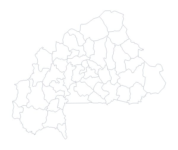
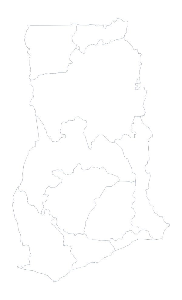
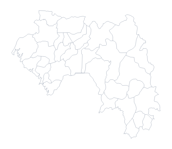
Ghana, Liberia, Guinea, Mali and Burkina Faso border it, and pupils can write them in around the outline from an atlas. For printing, choose black and white for a class set, since coloured areas come out as different greys. Colour is better for a single display copy. Print at 100% unless a margin is cut, in which case "fit to page" corrects it.
To use the outline as a picture in your own worksheet, see the blank map of Côte d'Ivoire.
How to do it in MapMaker
- Choose With regions for the 19 administrative areas, or Blank outline for the shape alone.
- Pick A4 or Letter, and Black and white for a class set.
- Open the PDF and print it at 100%.
- To hand out a sheet with some areas coloured, pick a colour in the bar on the map and click them, then choose Download your map.
- For names or a title, choose Customise before printing.
The 19 administrative areas on the map
A key for labelling the map by hand.
- Agnéby
- Bafing
- Bas-Sassandra
- Comoé
- Denguélé
- Dix-Huit Montagnes
- Fromager
- Haut-Sassandra
- Lacs
- Lagunes
- Marahoué
- Moyen-Cavally
- N'zi-Comoé
- Savanes
- Sud-Bandama
- Sud-Comoé
- Vallée du Bandama
- Worodougou
- Zanzan
Facts about Côte d'Ivoire
Côte d'Ivoire is in Western Africa. The capital is Yamoussoukro. The population is about 26 million (2019 estimate). Côte d'Ivoire has an area of about 322,000 km². The largest cities are Abidjan, Bouaké, Daloa, San-Pedro and Yamoussoukro. It borders Burkina Faso, Ghana, Guinea, Liberia and Mali. The map divides it into 19 administrative areas.
Maps of neighbouring places
Questions people ask
Which version of the Côte d'Ivoire map should I print for a quiz?
The version with regions, which shows 19 administrative areas with no names. Number a few, such as Lagunes, Zanzan and Savanes, and use the list on this page as the answer sheet.
Can pupils mark the capital and the largest city?
Yes. Yamoussoukro is the capital, and Abidjan heads the list of largest cities. Pupils can mark both by hand and decide why a country might have two such places.
Are place names printed on the map?
No. The PDFs have no names, so pupils can write them in. For printed names, choose Customise before printing, show the names in the editor and download the PDF from there.
Can I print it on A3?
The PDFs here are for A4 and Letter. For A3, choose Customise before printing and download a PDF on A3 paper from the editor.