Printable map of Antarctica
Free PDFs, ready for A4 or Letter. Print in colour or black and white.
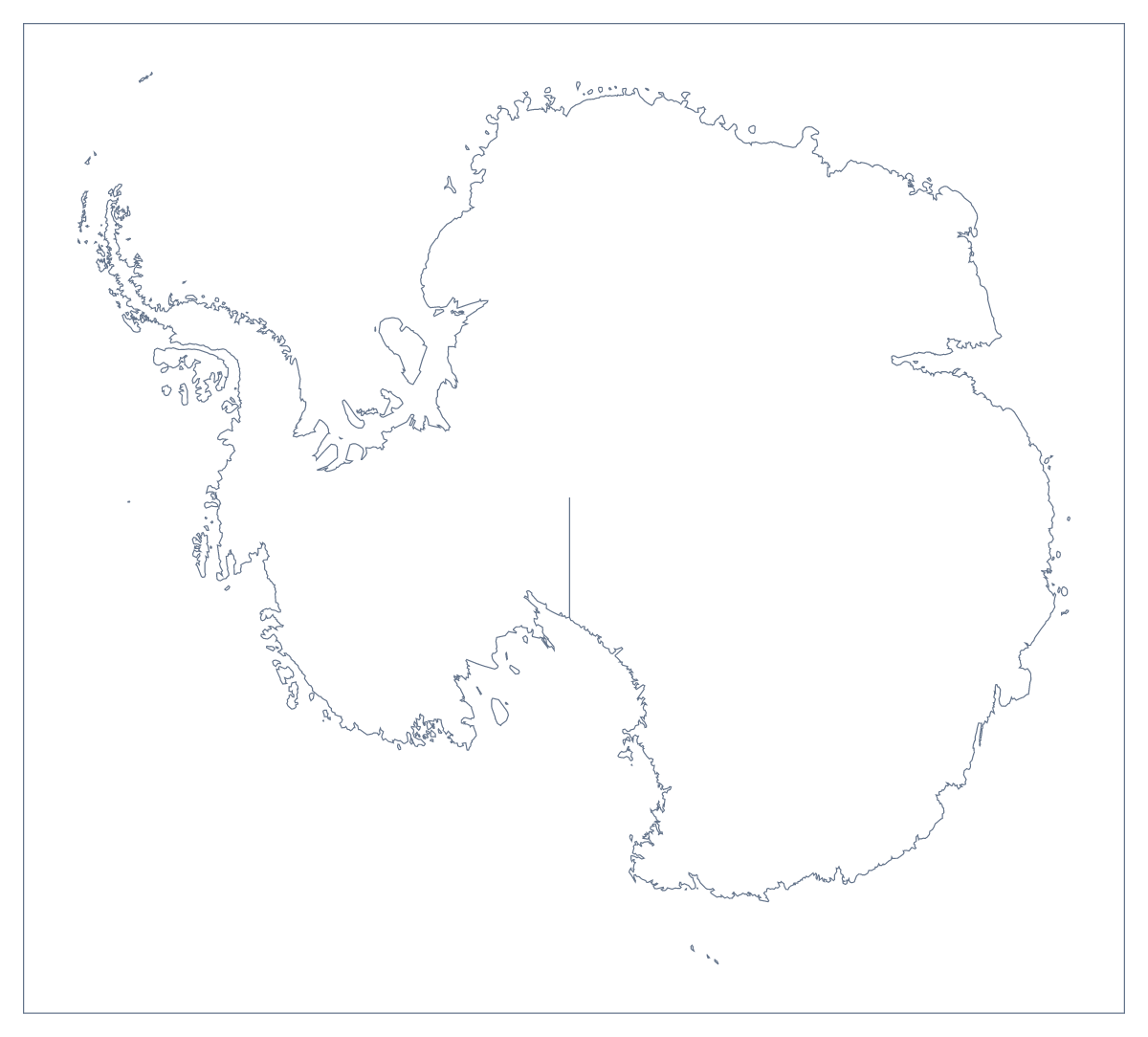
Printing a map of Antarctica
Antarctica is one shape, so there is one sheet to print: the outline, as a PDF for A4 or Letter, in colour or in black and white. It has no names on it, which is what makes it useful. A sheet like this is the starting point for a project on the poles, a research task or a display for a classroom wall.
A sheet for research
Because the shape is empty, pupils decide what goes on it. Ask each of them to choose a topic they have looked up, mark it with a small numbered symbol and write a key in the margin that says what each number stands for. Younger children can colour the shape, add a title in large letters and draw their own picture on the page around it. Older pupils can add a compass, a scale bar drawn by hand and a few lines of their own writing.
Group display
Print several copies in colour, give each group one subject and ask them to complete a sheet with symbols and a key. Hang the sheets in a row so the class can compare what each group chose to mark. A laminated copy can be reused with dry-wipe pens and wiped clean between lessons.
Printing it well
Choose black and white for a class set you will photocopy and colour for a single display copy. Print at 100% or "actual size" so each copy is the same, and use fit to page if the edge is cut off. To colour the shape yourself first, pick a colour in the bar on the map. When the sheet needs a title, names or A3 paper, Customise before printing opens the map in the editor. The outline as a PNG or SVG for your own worksheet is on the blank map of Antarctica.
How to do it in MapMaker
- Choose Blank outline, the one ready-made version of Antarctica.
- Pick A4 or Letter, then Colour for a display or Black and white for photocopying.
- Open the PDF and print it at 100% so each copy matches.
- To colour the shape before printing, pick a colour in the bar on the map and click Antarctica, then choose Download your map.
- For a title, pins or A3 paper, choose Customise before printing and download the PDF from the editor.
Facts about Antarctica
This map shows Antarctica. The population is about 4,500 (2019 estimate). Its status is disputed.
Questions people ask
Which version of the printable map of Antarctica should I print?
There is one ready-made version, the blank outline, because the map has no regions to draw in. Print it in colour for a display or in black and white for a class set, on A4 or Letter.
Does the printable map show names?
No. The PDF has no place names, which leaves room for pupils to write their own labels and a title. For printed names or a title, choose Customise before printing and download the PDF from the editor.
Can I print the map of Antarctica on A3?
The PDFs on this page are for A4 and Letter. For an A3 sheet for a wall display, choose Customise before printing and download a PDF on A3 paper from the editor.
Can children colour it in?
Yes. Print the outline in black and white and give it to them to colour. If you colour the shape with the bar on the map first, Download your map prints it as a grey in black and white.